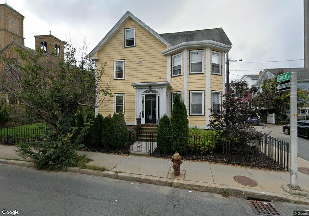
184 Rindge Ave Cambridge, MA 02140
North Cambridge NeighborhoodEstimated Value: $1,289,000 - $1,541,000
3
Beds
2
Baths
2,751
Sq Ft
$522/Sq Ft
Est. Value
About This Home
This home is located at 184 Rindge Ave, Cambridge, MA 02140 and is currently estimated at $1,436,887, approximately $522 per square foot. 184 Rindge Ave is a home located in Middlesex County with nearby schools including Benjamin Banneker Charter Public School, Cambridge Friends School, and Cambridge Montessori School.
Ownership History
Date
Name
Owned For
Owner Type
Purchase Details
Closed on
Mar 6, 1995
Sold by
Hatfield & Morway Bldr
Bought by
Cantor Murray R and Cantor Judi T
Current Estimated Value
Purchase Details
Closed on
Mar 31, 1994
Sold by
Morton Audrey T
Bought by
Hatfield & Morway Bldg
Create a Home Valuation Report for This Property
The Home Valuation Report is an in-depth analysis detailing your home's value as well as a comparison with similar homes in the area
Home Values in the Area
Average Home Value in this Area
Purchase History
| Date | Buyer | Sale Price | Title Company |
|---|---|---|---|
| Cantor Murray R | $269,000 | -- | |
| Hatfield & Morway Bldg | $148,000 | -- |
Source: Public Records
Mortgage History
| Date | Status | Borrower | Loan Amount |
|---|---|---|---|
| Open | Hatfield & Morway Bldg | $393,000 | |
| Closed | Hatfield & Morway Bldg | $398,750 | |
| Closed | Hatfield & Morway Bldg | $400,000 |
Source: Public Records
Tax History Compared to Growth
Tax History
| Year | Tax Paid | Tax Assessment Tax Assessment Total Assessment is a certain percentage of the fair market value that is determined by local assessors to be the total taxable value of land and additions on the property. | Land | Improvement |
|---|---|---|---|---|
| 2025 | $8,307 | $1,308,200 | $0 | $1,308,200 |
| 2024 | $7,700 | $1,300,700 | $0 | $1,300,700 |
| 2023 | $6,928 | $1,182,300 | $0 | $1,182,300 |
| 2022 | $6,792 | $1,147,300 | $0 | $1,147,300 |
| 2021 | $6,458 | $1,104,000 | $0 | $1,104,000 |
| 2020 | $5,932 | $1,031,700 | $0 | $1,031,700 |
| 2019 | $5,705 | $960,400 | $0 | $960,400 |
| 2018 | $5,568 | $885,200 | $0 | $885,200 |
| 2017 | $5,526 | $851,500 | $0 | $851,500 |
| 2016 | $5,542 | $792,900 | $0 | $792,900 |
| 2015 | $5,318 | $680,000 | $0 | $680,000 |
| 2014 | $5,261 | $627,800 | $0 | $627,800 |
Source: Public Records
Map
Nearby Homes
- 183 Rindge Ave Unit 1
- 179 Rindge Ave Unit 1
- 147 Sherman St Unit 201
- 61 Bolton St Unit 304
- 22 Harrington Rd
- 30 Dudley St
- 318 Rindge Ave Unit 103
- 49 Clifton St
- 124 Jackson St
- 110 Reed St
- 112 Jackson St
- 17 Shea Rd
- 12 Rindge Ave Unit 1
- 69 Harvey St Unit 1
- 127 Harvey St
- 127 Harvey St Unit 127
- 2456 Massachusetts Ave Unit 402
- 32 Cameron Ave
- 8 Cogswell Ave
- 97 Elmwood St Unit 313
- 4 Sargent St Unit B
- 4 Sargent St Unit A
- 6 Sargent St
- 8 Sargent St
- 10 Sargent St
- 5 Sargent St
- 5 Sargent St Unit 2
- 5 Sargent St Unit 1
- 1 Sargent St
- 192 Rindge Ave
- 12 Sargent St
- 7 Sargent St
- 0 Reed St Unit 1
- 175 Rindge Ave Unit 1R
- 175 Rindge Ave Unit 1L
- 175 Rindge Ave
- 175 Rindge Ave Unit 1LF
- 9 Sargent St
- 198 Rindge Ave
- 179 Rindge Ave Unit B