Estimated Value: $398,583 - $411,000
3
Beds
2
Baths
1,522
Sq Ft
$266/Sq Ft
Est. Value
About This Home
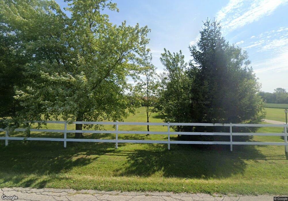
This home is located at 184 S Monroe Siding Rd, Xenia, OH 45385 and is currently estimated at $404,792, approximately $265 per square foot. 184 S Monroe Siding Rd is a home located in Greene County with nearby schools including Xenia High School.
Ownership History
Date
Name
Owned For
Owner Type
Purchase Details
Closed on
Dec 13, 2011
Sold by
Sanson Scott T and Sanson Patricia K
Bought by
Buckwalter Michael
Current Estimated Value
Purchase Details
Closed on
Sep 26, 2003
Sold by
Roberts Rocky L and Roberts Cindy L
Bought by
Sanson Scott T and Sanson Patricia K
Home Financials for this Owner
Home Financials are based on the most recent Mortgage that was taken out on this home.
Original Mortgage
$151,200
Interest Rate
6.4%
Mortgage Type
Unknown
Purchase Details
Closed on
Apr 24, 2002
Sold by
Williamson John C
Bought by
Roberts Rocky L and Roberts Cindy L
Home Financials for this Owner
Home Financials are based on the most recent Mortgage that was taken out on this home.
Original Mortgage
$95,800
Interest Rate
4.37%
Mortgage Type
Construction
Create a Home Valuation Report for This Property
The Home Valuation Report is an in-depth analysis detailing your home's value as well as a comparison with similar homes in the area
Home Values in the Area
Average Home Value in this Area
Purchase History
| Date | Buyer | Sale Price | Title Company |
|---|---|---|---|
| Buckwalter Michael | $174,500 | Attorney | |
| Sanson Scott T | $336,000 | -- | |
| Roberts Rocky L | $29,000 | -- |
Source: Public Records
Mortgage History
| Date | Status | Borrower | Loan Amount |
|---|---|---|---|
| Previous Owner | Sanson Scott T | $151,200 | |
| Previous Owner | Roberts Rocky L | $95,800 |
Source: Public Records
Tax History Compared to Growth
Tax History
| Year | Tax Paid | Tax Assessment Tax Assessment Total Assessment is a certain percentage of the fair market value that is determined by local assessors to be the total taxable value of land and additions on the property. | Land | Improvement |
|---|---|---|---|---|
| 2024 | $4,014 | $93,450 | $33,750 | $59,700 |
| 2023 | $4,014 | $93,450 | $33,750 | $59,700 |
| 2022 | $3,270 | $69,790 | $24,110 | $45,680 |
| 2021 | $3,312 | $69,790 | $24,110 | $45,680 |
| 2020 | $3,096 | $69,790 | $24,110 | $45,680 |
| 2019 | $3,096 | $62,410 | $23,410 | $39,000 |
| 2018 | $3,108 | $62,410 | $23,410 | $39,000 |
| 2017 | $3,192 | $62,410 | $23,410 | $39,000 |
| 2016 | $3,192 | $60,230 | $21,530 | $38,700 |
| 2015 | $1,600 | $60,230 | $21,530 | $38,700 |
| 2014 | $1,537 | $60,230 | $21,530 | $38,700 |
Source: Public Records
Map
Nearby Homes
- 902 N Bickett Rd
- 0 Gultice Rd Unit 940427
- 1293 E Main St
- 0 Us 42 Unit 941174
- 1293 Gultice Rd
- 0 N Patton St
- 00 N Patton St
- 841 Paintersville New Jasp Rd
- 966 U S 68
- 1287 Brush Row Rd
- 0 U S 68
- 654 E 3rd St
- 607 E Main St
- 645 E Church St
- 612 E Market St
- 0 Mason Rd
- 541 E Main St
- 01 Jasper Rd
- 1764 Highlander Dr
- 373 Hill St
- 150 S Monroe Siding Rd
- 111 S Monroe Siding Rd
- 113 S Monroe Siding Rd
- 250 S Monroe Siding Rd
- 107 S Monroe Siding Rd
- 105 S Monroe Siding Rd
- 280 S Monroe Siding Rd
- 83 S Monroe Siding Rd
- 300 S Monroe Siding Rd
- 55 S Monroe Siding Rd
- 330 S Monroe Siding Rd
- 43 S Monroe Siding Rd
- 360 S Monroe Siding Rd
- 1981 Foust Rd
- 1891 Foust Rd
- 414 S Monroe Siding Rd
- 1910 Jasper Rd
- 1780 Foust Rd
- 1771 Jasper Rd
- 107 N Monroe St