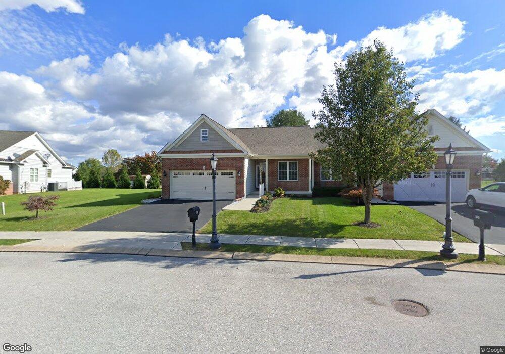
184 St Michaels Way Unit 23 Hanover, PA 17331
Estimated Value: $332,000 - $348,000
3
Beds
2
Baths
1,835
Sq Ft
$187/Sq Ft
Est. Value
About This Home
This home is located at 184 St Michaels Way Unit 23, Hanover, PA 17331 and is currently estimated at $343,573, approximately $187 per square foot. 184 St Michaels Way Unit 23 is a home located in Adams County with nearby schools including New Oxford Senior High School, St. Teresa of Calcutta Catholic School - McSherrystown Campus, and St. Teresa of Calcutta Catholic School - Conewago Campus.
Ownership History
Date
Name
Owned For
Owner Type
Purchase Details
Closed on
Jul 28, 2025
Sold by
Leslie Mary Elizabeth
Bought by
Dempster Robert E and Dempster Bonnie J
Current Estimated Value
Purchase Details
Closed on
Sep 21, 2012
Sold by
Harvest Investment Group Llc
Bought by
Leslie Mary E
Create a Home Valuation Report for This Property
The Home Valuation Report is an in-depth analysis detailing your home's value as well as a comparison with similar homes in the area
Home Values in the Area
Average Home Value in this Area
Purchase History
| Date | Buyer | Sale Price | Title Company |
|---|---|---|---|
| Dempster Robert E | $340,000 | None Listed On Document | |
| Leslie Mary E | -- | None Available |
Source: Public Records
Tax History Compared to Growth
Tax History
| Year | Tax Paid | Tax Assessment Tax Assessment Total Assessment is a certain percentage of the fair market value that is determined by local assessors to be the total taxable value of land and additions on the property. | Land | Improvement |
|---|---|---|---|---|
| 2025 | $6,025 | $251,600 | $56,100 | $195,500 |
| 2024 | $5,565 | $251,600 | $56,100 | $195,500 |
| 2023 | $5,360 | $251,600 | $56,100 | $195,500 |
| 2022 | $5,195 | $251,600 | $56,100 | $195,500 |
| 2021 | $5,062 | $251,600 | $56,100 | $195,500 |
| 2020 | $5,070 | $251,600 | $56,100 | $195,500 |
| 2019 | $4,842 | $251,600 | $56,100 | $195,500 |
| 2018 | $4,741 | $251,600 | $56,100 | $195,500 |
| 2017 | $4,545 | $251,600 | $56,100 | $195,500 |
| 2016 | -- | $251,600 | $56,100 | $195,500 |
| 2015 | -- | $251,600 | $56,100 | $195,500 |
| 2014 | -- | $251,600 | $56,100 | $195,500 |
Source: Public Records
Map
Nearby Homes
- 152 St Michaels Way Unit 18
- 51 Michael St Unit 6
- 25 Eagle Ln
- 124 Flint Dr Unit 61
- 105 Flint Dr
- 108 Flint Dr
- 5955 Hanover Rd
- 73 Flint Dr
- 11 Flint Dr
- 24 Red Stone Ln Unit 47
- 62 Flint Dr
- 54 Flint Dr
- 11 Shawl Dr
- 46 Flint Dr
- 84 Red Stone Ln Unit 41
- 92 Red Stone Ln Unit 40
- 9 Westview Dr Unit 2A
- 3211 Centennial Rd
- 49 North St
- 1 Sease Dr Unit 1
- 178 St Michaels Way
- 178 St Michaels Way Unit 22
- 190 St Michaels Way
- 190 St Michaels Way Unit 24
- 172 St Michaels Way Unit 21
- 172 St Michaels Way
- 172 Saint Michaels Way
- 100 Sunday Dr
- 194 St Michaels Way
- 84 Sunday Dr
- 187 St Michaels Way
- 175 St Michaels Way Unit 46
- 198 St Michaels Way Unit 26
- 198 St Michaels Way
- 166 St Michaels Way Unit 5
- 166 St Michaels Way Unit 20
- 195 St Michaels Way
- 195 St Michaels Way Unit 48
- 64 Sunday Dr
- 158 Saint Michaels Way Unit 19