184 Sugarloaf Dr Burnsville, NC 28714
Estimated Value: $375,321 - $501,000
--
Bed
--
Bath
1,680
Sq Ft
$270/Sq Ft
Est. Value
About This Home
This home is located at 184 Sugarloaf Dr, Burnsville, NC 28714 and is currently estimated at $453,774, approximately $270 per square foot. 184 Sugarloaf Dr is a home with nearby schools including Mountain Heritage High School.
Ownership History
Date
Name
Owned For
Owner Type
Purchase Details
Closed on
Jul 6, 2020
Sold by
Jones Scott Matt
Bought by
Jones Scott Matt
Current Estimated Value
Purchase Details
Closed on
Mar 26, 2008
Sold by
Jones Dennis Matt and Jones Patricia Gail
Bought by
Jones Scott Matt
Home Financials for this Owner
Home Financials are based on the most recent Mortgage that was taken out on this home.
Original Mortgage
$100,000
Interest Rate
6.22%
Mortgage Type
New Conventional
Purchase Details
Closed on
Jan 1, 1990
Bought by
Jones Scott Matt
Create a Home Valuation Report for This Property
The Home Valuation Report is an in-depth analysis detailing your home's value as well as a comparison with similar homes in the area
Home Values in the Area
Average Home Value in this Area
Purchase History
| Date | Buyer | Sale Price | Title Company |
|---|---|---|---|
| Jones Scott Matt | -- | None Available | |
| Jones Scott Matt | -- | None Available | |
| Jones Scott Matt | -- | -- |
Source: Public Records
Mortgage History
| Date | Status | Borrower | Loan Amount |
|---|---|---|---|
| Closed | Jones Scott Matt | $100,000 |
Source: Public Records
Tax History Compared to Growth
Tax History
| Year | Tax Paid | Tax Assessment Tax Assessment Total Assessment is a certain percentage of the fair market value that is determined by local assessors to be the total taxable value of land and additions on the property. | Land | Improvement |
|---|---|---|---|---|
| 2025 | $1,040 | $273,000 | $193,100 | $79,900 |
| 2024 | $1,040 | $273,000 | $193,100 | $79,900 |
| 2023 | $845 | $132,100 | $121,000 | $11,100 |
| 2022 | $845 | $132,100 | $121,000 | $11,100 |
| 2021 | $845 | $132,100 | $121,000 | $11,100 |
| 2020 | $300 | $46,800 | $35,700 | $11,100 |
| 2019 | $300 | $46,800 | $35,700 | $11,100 |
| 2018 | $443 | $69,200 | $35,700 | $33,500 |
| 2017 | $443 | $69,200 | $35,700 | $33,500 |
| 2016 | $443 | $69,200 | $35,700 | $33,500 |
| 2015 | $458 | $82,100 | $48,700 | $33,400 |
| 2014 | $459 | $82,100 | $48,700 | $33,400 |
Source: Public Records
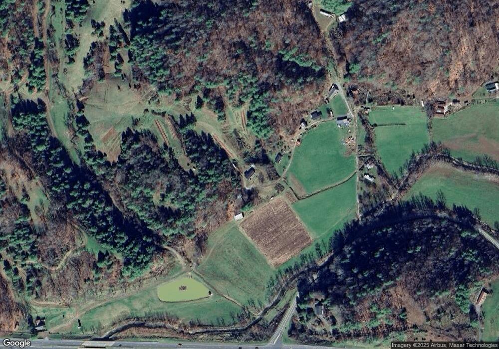
Map
Nearby Homes
- 423 Hardscrabble Rd
- 456 Maney Branch Rd
- 000 Maney Branch Rd
- 456 & 000 Maney Branch Rd
- 237 Hickory Nut Ridge Rd Unit 10
- 00 Prices Creek Rd
- 239 Pleasant Valley Rd
- 619 Leisure Ln
- 707 Lickskillet Rd
- 18 Misty Meadows Rd
- 9999 River Edge Dr Unit 2
- 0 Cane Mountain Ln Unit 9967935
- 0 Cane Mountain Ln Unit CAR4287202
- 0 Cane Mountain Ln Unit 250665
- 1377 Langford Branch Rd
- 124 W Dogwood Cir
- 1375 Swing Rd
- 300 Dogwood Ln
- 00 Riverside Hills Rd Unit 9
- 71 Banks Creek Rd
- 50 Sugarloaf Dr
- TBD Us Hwy 19 None
- 10 Sugarloaf Dr
- 48 Us Highway 19w
- 000 Hwy 19w
- 0 Hwy 19 W Unit NCM530969
- 0000 Possum Trot
- 1 Hwy 19west
- 154 Fir Rd
- 29 Possum Trot Rd
- 4940 Us Highway 19
- 4940 Us Hwy 19
- 121 Peachtree Ln
- 7 Allis Chalmers Dr
- 159 Possum Trot Rd
- 889 Calla Lily Ln
- 416 Fir Rd
- 395 Us Highway 19w
- 0 Hwy 19 & 74
- 284 Possum Trot Rd