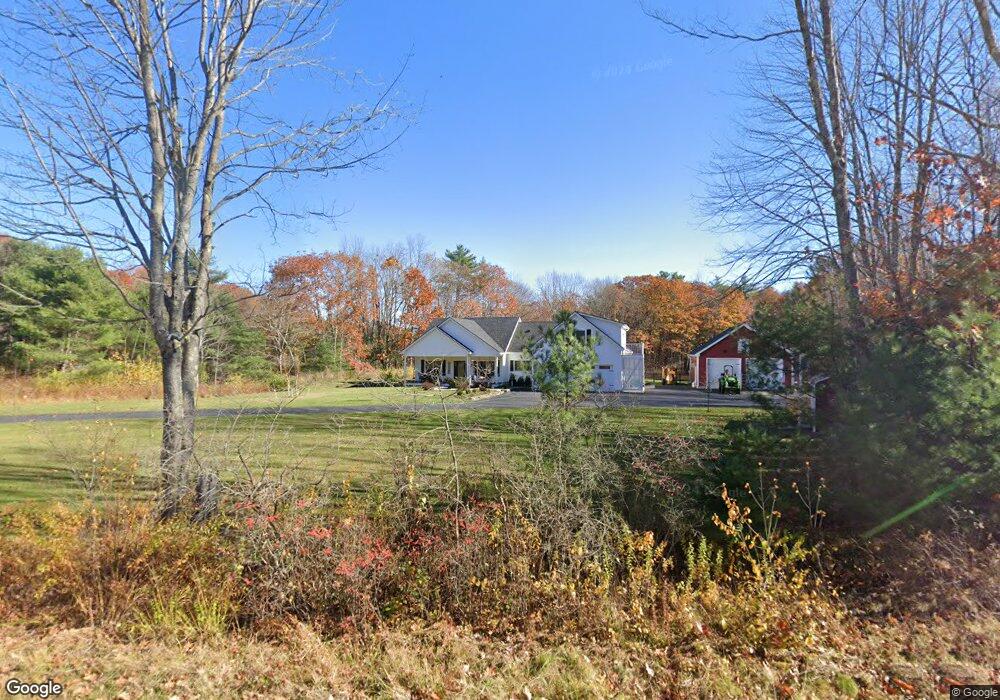
184 Thompson Rd Arundel, ME 04046
Estimated Value: $891,000 - $1,056,000
3
Beds
4
Baths
2,691
Sq Ft
$365/Sq Ft
Est. Value
About This Home
This home is located at 184 Thompson Rd, Arundel, ME 04046 and is currently estimated at $981,116, approximately $364 per square foot. 184 Thompson Rd is a home with nearby schools including Kennebunk High School.
Ownership History
Date
Name
Owned For
Owner Type
Purchase Details
Closed on
Apr 30, 2025
Sold by
Nedeau Jason and Nedeau Emily
Bought by
Kurlychek Zilaro-Kurlychek S and Kurlychek Brian J
Current Estimated Value
Home Financials for this Owner
Home Financials are based on the most recent Mortgage that was taken out on this home.
Original Mortgage
$349,000
Outstanding Balance
$347,769
Interest Rate
6.67%
Mortgage Type
Purchase Money Mortgage
Estimated Equity
$633,347
Create a Home Valuation Report for This Property
The Home Valuation Report is an in-depth analysis detailing your home's value as well as a comparison with similar homes in the area
Home Values in the Area
Average Home Value in this Area
Purchase History
| Date | Buyer | Sale Price | Title Company |
|---|---|---|---|
| Kurlychek Zilaro-Kurlychek S | $999,000 | None Available | |
| Kurlychek Zilaro-Kurlychek S | $999,000 | None Available |
Source: Public Records
Mortgage History
| Date | Status | Borrower | Loan Amount |
|---|---|---|---|
| Open | Kurlychek Zilaro-Kurlychek S | $349,000 | |
| Closed | Kurlychek Zilaro-Kurlychek S | $349,000 |
Source: Public Records
Tax History Compared to Growth
Tax History
| Year | Tax Paid | Tax Assessment Tax Assessment Total Assessment is a certain percentage of the fair market value that is determined by local assessors to be the total taxable value of land and additions on the property. | Land | Improvement |
|---|---|---|---|---|
| 2024 | $6,380 | $375,300 | $52,200 | $323,100 |
| 2023 | $6,380 | $375,300 | $52,200 | $323,100 |
| 2022 | $6,343 | $375,300 | $52,200 | $323,100 |
| 2021 | $5,803 | $343,400 | $52,200 | $291,200 |
| 2020 | $873 | $52,200 | $52,200 | $0 |
| 2019 | $851 | $52,200 | $52,200 | $0 |
| 2018 | $831 | $52,200 | $52,200 | $0 |
| 2017 | $809 | $52,200 | $52,200 | $0 |
| 2016 | $789 | $52,200 | $52,200 | $0 |
| 2015 | $780 | $52,200 | $52,200 | $0 |
| 2014 | $757 | $52,200 | $52,200 | $0 |
| 2013 | $757 | $52,200 | $52,200 | $0 |
Source: Public Records
Map
Nearby Homes
- 178 Thompson Rd
- 196 Thompson Rd
- 162 Thompson Rd
- 161 Thompson Rd
- 11 Foxcroft Ln
- 10 Foxcroft Ln
- 9 Foxcroft Ln
- 148 Thompson Rd
- 2 Lochlannach Ln
- 8 Foxcroft Ln
- 7 Foxcroft Ln
- 6 Foxcroft Ln
- 4 Foxcroft Ln
- 19 Foxcroft Ln
- 24 Timber Ridge Dr
- 8 Lochlannach Ln
- 3 Foxcroft Ln
- 3 Lochlannach Ln
- 2 Foxcroft Ln
- 13 Foxcroft Ln