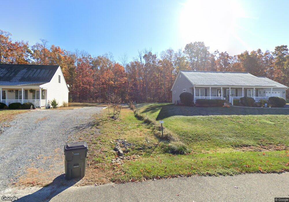
184 Turk Mountain Ln Waynesboro, VA 22980
Estimated Value: $357,000 - $452,130
3
Beds
2
Baths
1,568
Sq Ft
$246/Sq Ft
Est. Value
About This Home
This home is located at 184 Turk Mountain Ln, Waynesboro, VA 22980 and is currently estimated at $385,533, approximately $245 per square foot. 184 Turk Mountain Ln is a home located in Augusta County with nearby schools including Cassell Elementary School, Wilson Middle School, and Wilson Memorial High School.
Ownership History
Date
Name
Owned For
Owner Type
Purchase Details
Closed on
Aug 13, 2010
Sold by
Robertson Donnie L and Robertson Kathryn A
Bought by
Robertson Kathryn A
Current Estimated Value
Home Financials for this Owner
Home Financials are based on the most recent Mortgage that was taken out on this home.
Original Mortgage
$174,900
Interest Rate
4.55%
Mortgage Type
Credit Line Revolving
Create a Home Valuation Report for This Property
The Home Valuation Report is an in-depth analysis detailing your home's value as well as a comparison with similar homes in the area
Home Values in the Area
Average Home Value in this Area
Purchase History
| Date | Buyer | Sale Price | Title Company |
|---|---|---|---|
| Robertson Kathryn A | -- | None Available |
Source: Public Records
Mortgage History
| Date | Status | Borrower | Loan Amount |
|---|---|---|---|
| Closed | Robertson Kathryn A | $174,900 |
Source: Public Records
Tax History Compared to Growth
Tax History
| Year | Tax Paid | Tax Assessment Tax Assessment Total Assessment is a certain percentage of the fair market value that is determined by local assessors to be the total taxable value of land and additions on the property. | Land | Improvement |
|---|---|---|---|---|
| 2025 | $1,872 | $360,000 | $119,900 | $240,100 |
| 2024 | $1,276 | $360,000 | $119,900 | $240,100 |
| 2023 | $1,276 | $202,500 | $71,400 | $131,100 |
| 2022 | $1,276 | $202,500 | $71,400 | $131,100 |
| 2021 | $1,276 | $202,500 | $71,400 | $131,100 |
| 2020 | $1,276 | $202,500 | $71,400 | $131,100 |
| 2019 | $1,276 | $202,500 | $71,400 | $131,100 |
| 2018 | $1,201 | $190,746 | $71,400 | $119,346 |
| 2017 | $1,106 | $190,746 | $71,400 | $119,346 |
| 2016 | $1,106 | $190,746 | $71,400 | $119,346 |
| 2015 | $1,127 | $190,746 | $71,400 | $119,346 |
| 2014 | $1,127 | $190,746 | $71,400 | $119,346 |
| 2013 | $1,127 | $234,700 | $98,900 | $135,800 |
Source: Public Records
Map
Nearby Homes
- 114 Laurel Wood Dr
- 41 Lady Slipper Dr
- 15 Lady Slipper Dr
- 18 Lady Slipper Dr
- 77 Laurel Wood Dr
- 64 Northwood Dr
- 31 Big Bird Ln
- TBD Mountain Ridge Ln
- 1000 E Side Hwy
- Lot 62 Lake Dr
- 2062 E Side Hwy
- 1430 E Side Hwy
- 597 E Side Hwy
- TBD Crimora Mine Rd
- 9 Bradley Ln
- 1890 Calf Mountain Rd
- TBD Lake Dr
- TBD E Side Hwy
- 643 Cattle Scales Rd
- 98 Cedar Ridge Rd
- 117 Cedarcrest Dr
- 109 Cedarcrest Dr
- 125 Cedarcrest Dr
- 103 Cedarcrest Dr
- 95 Cedarcrest Dr
- 127 Cedarcrest Dr
- 89 Cedarcrest Dr
- 85 Cedarcrest Dr
- 108 Cedarcrest Dr
- 126 Cedarcrest Dr
- 102 Cedarcrest Dr
- 54 Cedarcrest Dr
- 94 Cedarcrest Dr
- 218 Turk Mountain Ln
- 88 Cedarcrest Dr
- 73 Cedarcrest Dr
- 177 Northwood Dr
- 178 Northwood Dr
- 84 Cedarcrest Dr
- 65 Cedarcrest Dr