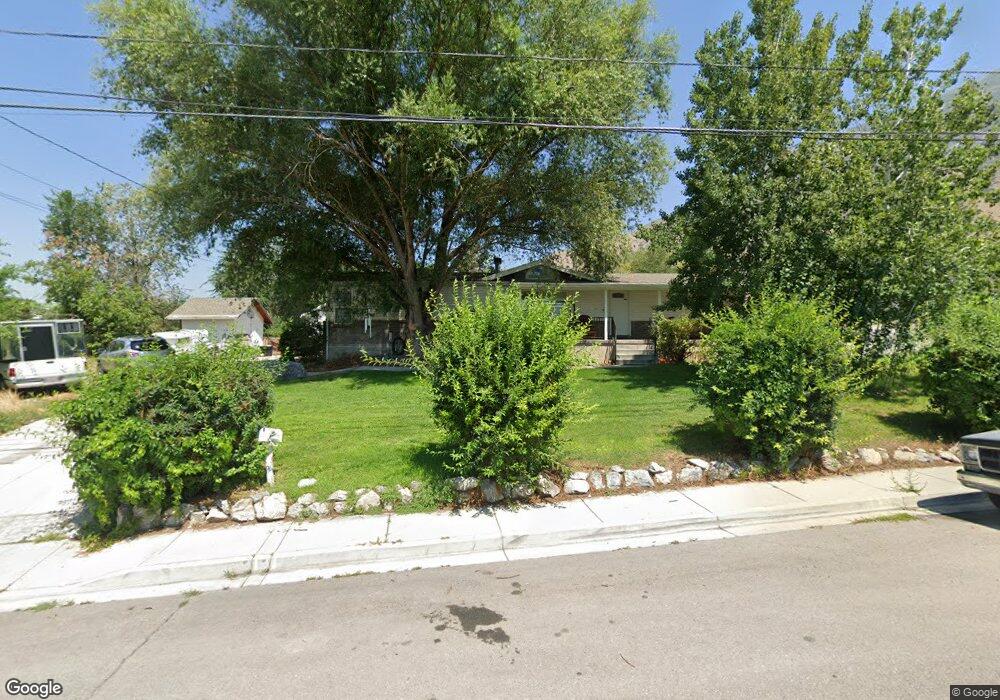
184 W 2600 N Pleasant Grove, UT 84062
Estimated Value: $692,000 - $827,000
7
Beds
3
Baths
3,166
Sq Ft
$244/Sq Ft
Est. Value
About This Home
This home is located at 184 W 2600 N, Pleasant Grove, UT 84062 and is currently estimated at $771,998, approximately $243 per square foot. 184 W 2600 N is a home located in Utah County with nearby schools including Deerfield Elementary School, Mountain Ridge Junior High School, and American Fork High School.
Ownership History
Date
Name
Owned For
Owner Type
Purchase Details
Closed on
Oct 17, 2018
Sold by
Chitty Agida Ann
Bought by
Harline Benita A and Agida Ann Chitty Irrevocable T
Current Estimated Value
Home Financials for this Owner
Home Financials are based on the most recent Mortgage that was taken out on this home.
Original Mortgage
$254,000
Outstanding Balance
$221,503
Interest Rate
4.5%
Mortgage Type
New Conventional
Estimated Equity
$550,495
Purchase Details
Closed on
Oct 9, 2018
Sold by
Daniels Brenda and Chitty Agida A
Bought by
Daniels Brenda and Chitty Agida A
Home Financials for this Owner
Home Financials are based on the most recent Mortgage that was taken out on this home.
Original Mortgage
$254,000
Outstanding Balance
$221,503
Interest Rate
4.5%
Mortgage Type
New Conventional
Estimated Equity
$550,495
Purchase Details
Closed on
Aug 30, 2007
Sold by
Allen Daniel C and Allen Tamara
Bought by
Daniels Michael and Daniels Brenda
Home Financials for this Owner
Home Financials are based on the most recent Mortgage that was taken out on this home.
Original Mortgage
$252,000
Interest Rate
6.74%
Mortgage Type
Purchase Money Mortgage
Create a Home Valuation Report for This Property
The Home Valuation Report is an in-depth analysis detailing your home's value as well as a comparison with similar homes in the area
Home Values in the Area
Average Home Value in this Area
Purchase History
| Date | Buyer | Sale Price | Title Company |
|---|---|---|---|
| Harline Benita A | -- | None Available | |
| Daniels Brenda | -- | Meridian Title Co | |
| Daniels Michael | -- | None Available |
Source: Public Records
Mortgage History
| Date | Status | Borrower | Loan Amount |
|---|---|---|---|
| Open | Daniels Brenda | $254,000 | |
| Closed | Daniels Michael | $252,000 |
Source: Public Records
Tax History Compared to Growth
Tax History
| Year | Tax Paid | Tax Assessment Tax Assessment Total Assessment is a certain percentage of the fair market value that is determined by local assessors to be the total taxable value of land and additions on the property. | Land | Improvement |
|---|---|---|---|---|
| 2025 | $2,845 | $378,895 | $270,400 | $418,500 |
| 2024 | $2,845 | $339,735 | $0 | $0 |
| 2023 | $2,854 | $348,700 | $0 | $0 |
| 2022 | $2,982 | $362,505 | $0 | $0 |
| 2021 | $2,503 | $463,300 | $169,800 | $293,500 |
| 2020 | $2,306 | $418,400 | $151,600 | $266,800 |
| 2019 | $2,136 | $400,900 | $151,600 | $249,300 |
| 2018 | $1,735 | $307,800 | $133,800 | $174,000 |
| 2017 | $1,678 | $158,510 | $0 | $0 |
| 2016 | $1,689 | $154,000 | $0 | $0 |
| 2015 | $1,783 | $154,000 | $0 | $0 |
| 2014 | $1,800 | $154,000 | $0 | $0 |
Source: Public Records
Map
Nearby Homes
- 8923 N Cottage Canyon Dr
- 8905 N Pine Hollow Dr
- 3373 Bear Canyon Ln
- 2837 N 550 W
- 9078 Renaissance Dr
- 3408 W Bear Canyon Ln N Unit 53
- 8944 Silver Lake Dr
- 9157 N Canyon Heights Dr
- 532 W 2000 N
- 1726 N Siena Cir Unit 10
- 1727 N Siena Cir Unit 4
- 1656 N Siena Cir Unit 7
- 1897 N 900 W
- 3810 W Valley View Dr
- 980 W 1800 N
- 2969 N 1350 W
- 674 W 1590 N Unit 11
- 9481 N 3830 W
- 731 W 1590 N Unit 15
- 9547 N Canyon Rd
- 2687 N Canyon Rd
- 166 W 2600 N
- 2687 N Canyon Rd
- 2931 Canyon Rd
- 177 W 2600 N
- 246 W 2600 N
- 3862 Canyon Rd
- 3824 Canyon Rd
- 301 W 2600 N
- 2543 N 180 W
- 328 W 2600 N
- 2682 N Canyon Rd
- 2725 N Canyon Rd
- 2725 N Canyon Rd
- 2540 N 180 W
- 2682 N Canyon Rd
- 2728 N Canyon Rd
- 331 W 2600 N
- 2774 N Canyon Rd
- 2634 N Canyon Rd