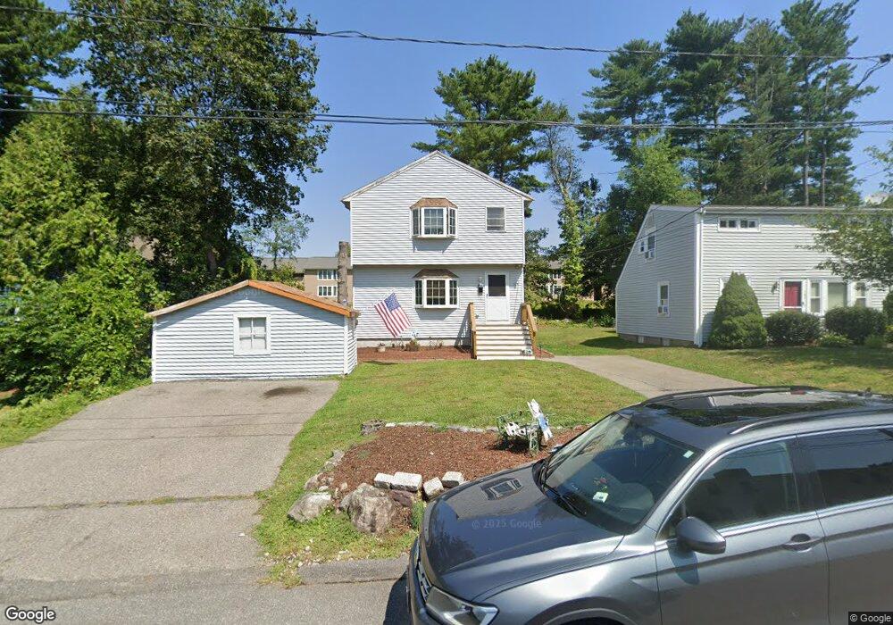
184 W Division St Braintree, MA 02184
Braintree Highlands NeighborhoodEstimated Value: $615,000 - $866,000
2
Beds
1
Bath
1,248
Sq Ft
$591/Sq Ft
Est. Value
About This Home
This home is located at 184 W Division St, Braintree, MA 02184 and is currently estimated at $737,272, approximately $590 per square foot. 184 W Division St is a home located in Norfolk County with nearby schools including Boston Higashi School, Lighthouse Baptist Christian Academy, and CATS Academy Boston.
Ownership History
Date
Name
Owned For
Owner Type
Purchase Details
Closed on
Oct 15, 1999
Sold by
Mcternan John B
Bought by
Solletti Bethany M
Current Estimated Value
Home Financials for this Owner
Home Financials are based on the most recent Mortgage that was taken out on this home.
Original Mortgage
$122,360
Interest Rate
7.8%
Mortgage Type
Purchase Money Mortgage
Purchase Details
Closed on
Jun 30, 1997
Sold by
Lloyd Kenneth P and Lloyd Michelle M
Bought by
Mcternan John B
Home Financials for this Owner
Home Financials are based on the most recent Mortgage that was taken out on this home.
Original Mortgage
$73,800
Interest Rate
7.81%
Mortgage Type
Purchase Money Mortgage
Purchase Details
Closed on
Sep 6, 1990
Sold by
Pudsey Frederic H
Bought by
Lloyd Kenneth P
Create a Home Valuation Report for This Property
The Home Valuation Report is an in-depth analysis detailing your home's value as well as a comparison with similar homes in the area
Home Values in the Area
Average Home Value in this Area
Purchase History
| Date | Buyer | Sale Price | Title Company |
|---|---|---|---|
| Solletti Bethany M | $128,800 | -- | |
| Mcternan John B | $106,000 | -- | |
| Mcternan John B | $106,000 | -- | |
| Lloyd Kenneth P | $70,000 | -- | |
| Lloyd Kenneth P | $70,000 | -- |
Source: Public Records
Mortgage History
| Date | Status | Borrower | Loan Amount |
|---|---|---|---|
| Open | Lloyd Kenneth P | $138,000 | |
| Closed | Lloyd Kenneth P | $122,360 | |
| Previous Owner | Lloyd Kenneth P | $73,800 |
Source: Public Records
Tax History Compared to Growth
Tax History
| Year | Tax Paid | Tax Assessment Tax Assessment Total Assessment is a certain percentage of the fair market value that is determined by local assessors to be the total taxable value of land and additions on the property. | Land | Improvement |
|---|---|---|---|---|
| 2025 | $6,394 | $640,700 | $323,000 | $317,700 |
| 2024 | $5,691 | $600,300 | $293,300 | $307,000 |
| 2023 | $5,406 | $553,900 | $263,500 | $290,400 |
| 2022 | $5,258 | $528,400 | $238,000 | $290,400 |
| 2021 | $4,866 | $489,000 | $215,100 | $273,900 |
| 2020 | $4,628 | $469,400 | $195,500 | $273,900 |
| 2019 | $4,340 | $430,100 | $187,000 | $243,100 |
| 2018 | $4,249 | $403,100 | $170,000 | $233,100 |
| 2017 | $4,132 | $384,700 | $161,500 | $223,200 |
| 2016 | $3,986 | $363,000 | $153,000 | $210,000 |
| 2015 | $3,644 | $329,200 | $127,500 | $201,700 |
| 2014 | $3,531 | $309,200 | $122,400 | $186,800 |
Source: Public Records
Map
Nearby Homes
- 6 E Division St
- 16 Woodcliff Rd
- 373 N Franklin St
- 104 Milton Rd
- 29 Woodedge Ave
- 61 Woodside Ave
- 187 Belcher St
- 5 Clarendon Cir Unit Lot 4
- 1501 Liberty St
- 16 Winthrop Ave
- 27 Winter St
- 63 Cedarhill Rd
- 96 Roberts Ave
- 116 Cardinal Ct
- 44 Arlington Ave
- 1579 Washington St
- 229 Mill St
- 7 Morton Rd
- 217 Mill St
- 46 Wilmarth Rd
- 188 W Division St
- 180 W Division St
- 29 W Division St
- 31 W Division St
- 27 W Division St
- 35 W Division St
- 150 W Division St
- 40 Roosevelt St
- 39 W Division St
- 148 W Division St
- 21 W Division St
- 38 Roosevelt St
- 38 Roosevelt St Unit 2
- 146A W Division St
- 20 Roosevelt St
- 45 W Division St
- 146 W Division St
- 2099 Washington St
- 2113 Washington St
- 2089 Washington St