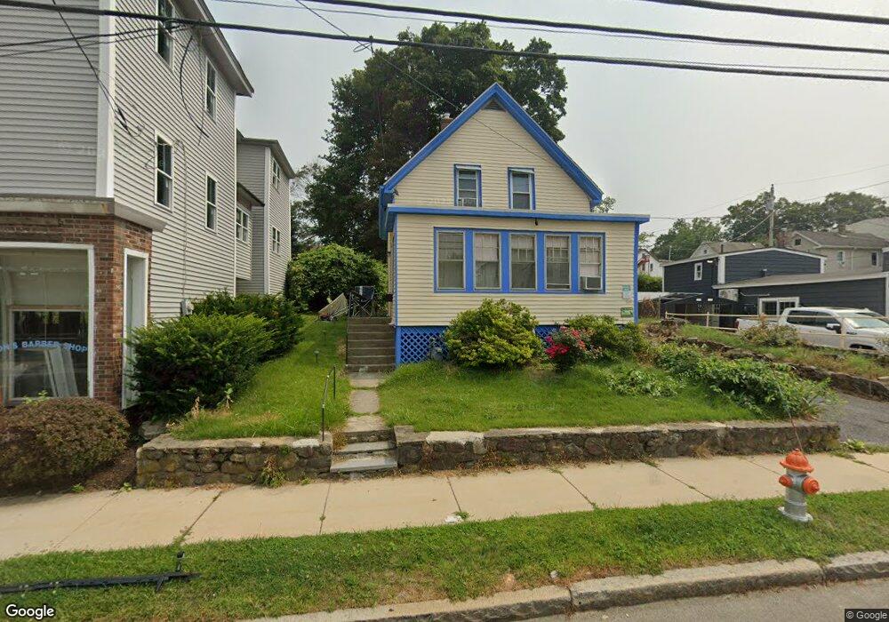
184 W Main St Marlborough, MA 01752
Estimated Value: $341,000 - $495,000
3
Beds
1
Bath
986
Sq Ft
$410/Sq Ft
Est. Value
About This Home
This home is located at 184 W Main St, Marlborough, MA 01752 and is currently estimated at $404,191, approximately $409 per square foot. 184 W Main St is a home located in Middlesex County with nearby schools including Marlborough High School, Advanced Math & Science Academy, and New Covenant Christian School.
Ownership History
Date
Name
Owned For
Owner Type
Purchase Details
Closed on
Sep 12, 2003
Sold by
J&A Rt and Tr Daniel L Mcniff
Bought by
Rd Kanniard Homes Inc
Current Estimated Value
Purchase Details
Closed on
Oct 28, 1996
Sold by
Stevens Annette M
Bought by
Sur Matthew and Cimenti Claudia
Home Financials for this Owner
Home Financials are based on the most recent Mortgage that was taken out on this home.
Original Mortgage
$71,630
Interest Rate
8.22%
Mortgage Type
Purchase Money Mortgage
Create a Home Valuation Report for This Property
The Home Valuation Report is an in-depth analysis detailing your home's value as well as a comparison with similar homes in the area
Home Values in the Area
Average Home Value in this Area
Purchase History
| Date | Buyer | Sale Price | Title Company |
|---|---|---|---|
| Rd Kanniard Homes Inc | $200,000 | -- | |
| J & A Rt | -- | -- | |
| J & A Rt | -- | -- | |
| Sur Matthew | $75,400 | -- |
Source: Public Records
Mortgage History
| Date | Status | Borrower | Loan Amount |
|---|---|---|---|
| Previous Owner | Sur Matthew | $71,630 | |
| Previous Owner | Sur Matthew | $40,000 |
Source: Public Records
Tax History Compared to Growth
Tax History
| Year | Tax Paid | Tax Assessment Tax Assessment Total Assessment is a certain percentage of the fair market value that is determined by local assessors to be the total taxable value of land and additions on the property. | Land | Improvement |
|---|---|---|---|---|
| 2025 | $2,708 | $274,600 | $148,600 | $126,000 |
| 2024 | $2,620 | $255,900 | $135,100 | $120,800 |
| 2023 | $2,801 | $242,700 | $101,400 | $141,300 |
| 2022 | $2,780 | $211,900 | $96,500 | $115,400 |
| 2021 | $2,605 | $188,800 | $76,800 | $112,000 |
| 2020 | $2,578 | $181,800 | $74,800 | $107,000 |
| 2019 | $2,513 | $178,600 | $73,300 | $105,300 |
| 2018 | $2,455 | $167,800 | $73,400 | $94,400 |
| 2017 | $2,246 | $146,600 | $73,300 | $73,300 |
| 2016 | $2,134 | $139,100 | $73,300 | $65,800 |
| 2015 | $2,266 | $143,800 | $77,000 | $66,800 |
Source: Public Records
Map
Nearby Homes
- 11 Paris St
- 30 Broad St Unit 104
- 8 Saint Mary's Way Unit 8
- 76 Broad St
- 30A Winter Ave
- 156 Chestnut St
- 32 Water St
- 72 Chestnut St
- 38 Gleason Street Extension
- 118 Elm St
- 61 Fairmount St Unit 11
- 52 Norwood St
- 29 Elm St
- 272 Lincoln St Unit 101
- 272 Lincoln St Unit 103
- 272 Lincoln St Unit 104
- 2 Adams St
- 27 Jefferson St
- 27 Jefferson St Unit 204
- 240 Lincoln St
- 190 W Main St
- 182 W Main St
- 16 Crescent St
- 174 W Main St
- 187 W Main St Unit 3
- 187 W Main St Unit 1
- 9 Mount Pleasant St
- 179 W Main St
- 198 W Main St
- 15 Mount Pleasant St
- 11 Crescent St
- 177 W Main St
- 177 W Main St Unit 177
- 15 Crescent St
- 15 Crescent St Unit 2
- 8 Grant St Unit 3
- 8 Grant St Unit 4
- 8 Grant St
- 8 Grant St Unit 2
- 8 Grant St Unit 1