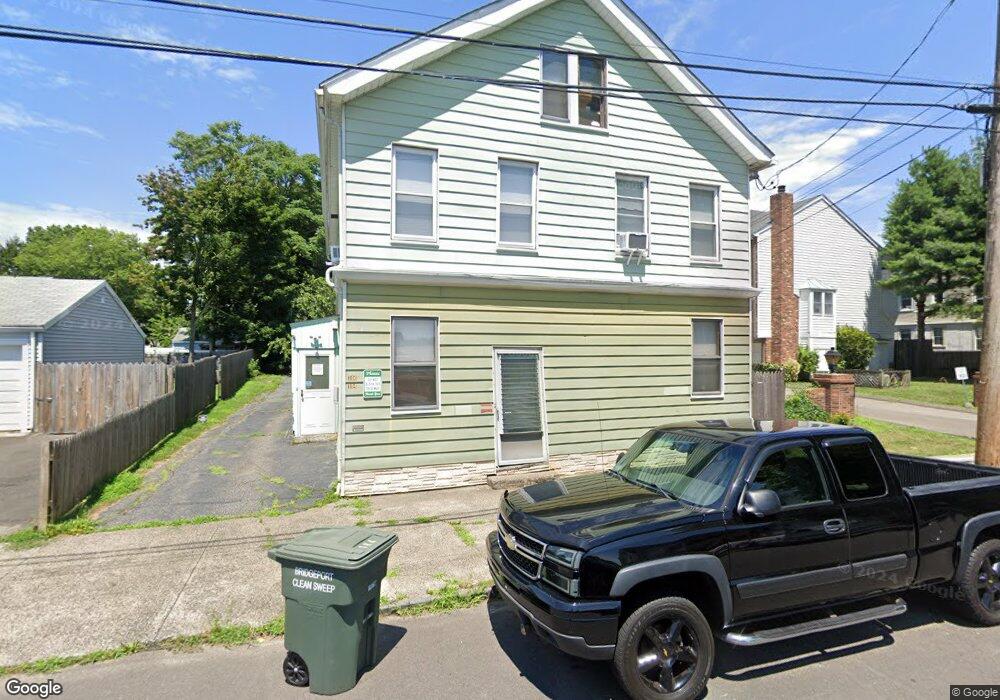
184 Wade St Bridgeport, CT 06604
Brooklawn-Saint Vincent NeighborhoodEstimated Value: $474,174 - $677,000
6
Beds
2
Baths
3,341
Sq Ft
$180/Sq Ft
Est. Value
About This Home
This home is located at 184 Wade St, Bridgeport, CT 06604 and is currently estimated at $601,794, approximately $180 per square foot. 184 Wade St is a home located in Fairfield County with nearby schools including Geraldine Johnson School, Bassick High School, and Catholic Academy of Bridgeport-St. Raphael Academy.
Ownership History
Date
Name
Owned For
Owner Type
Purchase Details
Closed on
Sep 23, 2002
Sold by
Sullivan Timothy J
Bought by
Sullivan Patrick J and Sullivan Deborah
Current Estimated Value
Home Financials for this Owner
Home Financials are based on the most recent Mortgage that was taken out on this home.
Original Mortgage
$102,700
Interest Rate
6.36%
Create a Home Valuation Report for This Property
The Home Valuation Report is an in-depth analysis detailing your home's value as well as a comparison with similar homes in the area
Home Values in the Area
Average Home Value in this Area
Purchase History
| Date | Buyer | Sale Price | Title Company |
|---|---|---|---|
| Sullivan Patrick J | $45,000 | -- | |
| Sullivan Patrick J | $45,000 | -- | |
| Sullivan Patrick J | $45,000 | -- |
Source: Public Records
Mortgage History
| Date | Status | Borrower | Loan Amount |
|---|---|---|---|
| Open | Sullivan Patrick J | $93,000 | |
| Closed | Sullivan Patrick J | $102,700 |
Source: Public Records
Tax History
| Year | Tax Paid | Tax Assessment Tax Assessment Total Assessment is a certain percentage of the fair market value that is determined by local assessors to be the total taxable value of land and additions on the property. | Land | Improvement |
|---|---|---|---|---|
| 2025 | $8,290 | $190,790 | $80,670 | $110,120 |
| 2024 | $8,290 | $190,790 | $80,670 | $110,120 |
| 2023 | $8,290 | $190,790 | $80,670 | $110,120 |
| 2022 | $8,290 | $190,790 | $80,670 | $110,120 |
| 2021 | $8,290 | $190,790 | $80,670 | $110,120 |
| 2020 | $7,112 | $131,720 | $48,850 | $82,870 |
| 2019 | $7,112 | $131,720 | $48,850 | $82,870 |
| 2018 | $7,162 | $131,720 | $48,850 | $82,870 |
| 2017 | $7,162 | $131,720 | $48,850 | $82,870 |
| 2016 | $7,162 | $131,720 | $48,850 | $82,870 |
| 2015 | $7,110 | $168,480 | $54,180 | $114,300 |
| 2014 | $7,110 | $168,480 | $54,180 | $114,300 |
Source: Public Records
Map
Nearby Homes
- 1285 Norman St
- 61 Astoria Ave
- 660 W Jackson Ave
- 100 Lorraine St
- 366 Brooklawn Ave
- 1515 Capitol Ave Unit 1517
- 155 Brooklawn Ave
- 30 Pacific St Unit 32
- 1522 North Ave
- 84 Algonquin Rd
- 860 Briarwood Ave
- 2370 North Ave Unit 3F
- 700 Laurel Ave
- 1440 Wood Ave
- 1156 Capitol Ave
- 697 Laurel Ave
- 35 Querida St
- 74 Carleton Ave
- 391 Coleman St
- 80 Cartright St Unit 5D
- 170 Wade St Unit 12
- 170 Wade St Unit 11
- 170 Wade St Unit 10
- 170 Wade St Unit 9
- 170 Wade St Unit 8
- 170 Wade St Unit 7
- 170 Wade St Unit 6
- 170 Wade St Unit 5
- 170 Wade St Unit 4
- 170 Wade St Unit 3
- 170 Wade St Unit 2
- 170 Wade St Unit 1
- 194 Wade St
- 160 Wade St Unit 164
- 187 Wade St
- 26 Wade Terrace
- 165 Wade St
- 210 Wade St
- 175 Wade St
- 189 Wade St
Your Personal Tour Guide
Ask me questions while you tour the home.