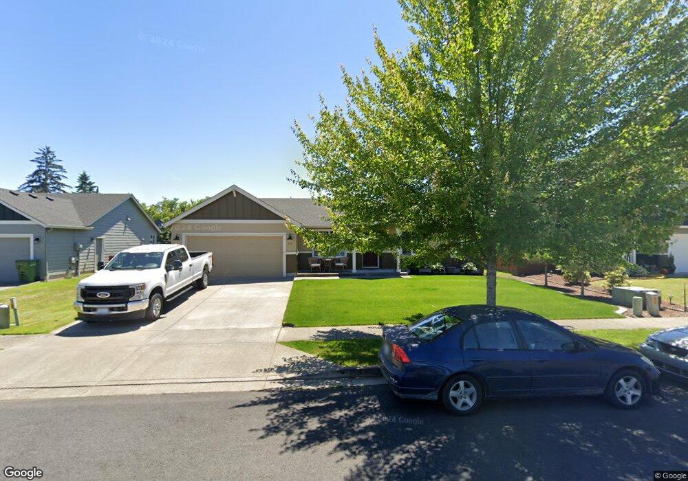
184 Wyatt Dr Kelso, WA 98626
Lexington NeighborhoodEstimated Value: $399,830 - $423,000
3
Beds
2
Baths
1,420
Sq Ft
$293/Sq Ft
Est. Value
About This Home
This home is located at 184 Wyatt Dr, Kelso, WA 98626 and is currently estimated at $415,708, approximately $292 per square foot. 184 Wyatt Dr is a home located in Cowlitz County with nearby schools including Beacon Hill Elementary School, Huntington Middle School, and Kelso High School.
Ownership History
Date
Name
Owned For
Owner Type
Purchase Details
Closed on
Mar 23, 2022
Sold by
Kephart Nicole S
Bought by
Montgomery Nicole S and Montgomery John P
Current Estimated Value
Purchase Details
Closed on
Sep 20, 2012
Sold by
Maitland William A and Maitland Michele M
Bought by
Kephart Nicole S
Home Financials for this Owner
Home Financials are based on the most recent Mortgage that was taken out on this home.
Original Mortgage
$160,500
Interest Rate
3.43%
Mortgage Type
Purchase Money Mortgage
Create a Home Valuation Report for This Property
The Home Valuation Report is an in-depth analysis detailing your home's value as well as a comparison with similar homes in the area
Home Values in the Area
Average Home Value in this Area
Purchase History
| Date | Buyer | Sale Price | Title Company |
|---|---|---|---|
| Montgomery Nicole S | -- | None Listed On Document | |
| Kephart Nicole S | $160,500 | Cascade Title Co |
Source: Public Records
Mortgage History
| Date | Status | Borrower | Loan Amount |
|---|---|---|---|
| Previous Owner | Kephart Nicole S | $160,500 |
Source: Public Records
Tax History
| Year | Tax Paid | Tax Assessment Tax Assessment Total Assessment is a certain percentage of the fair market value that is determined by local assessors to be the total taxable value of land and additions on the property. | Land | Improvement |
|---|---|---|---|---|
| 2024 | $4,978 | $353,290 | $53,250 | $300,040 |
| 2023 | $4,686 | $353,260 | $53,250 | $300,010 |
| 2022 | $4,279 | $344,520 | $53,250 | $291,270 |
| 2021 | $3,916 | $294,350 | $53,250 | $241,100 |
| 2020 | $4,157 | $258,000 | $46,300 | $211,700 |
| 2019 | $3,687 | $273,248 | $46,288 | $226,960 |
| 2018 | $3,511 | $230,810 | $46,290 | $184,520 |
| 2017 | $3,168 | $204,240 | $44,080 | $160,160 |
| 2016 | $2,917 | $183,840 | $41,200 | $142,640 |
| 2015 | -- | $171,590 | $41,200 | $130,390 |
| 2013 | -- | $152,320 | $40,000 | $112,320 |
Source: Public Records
Map
Nearby Homes
- 194 Boardwalk Way
- 127 Cowlitz Dr
- 107 Mission Rd
- 270 Rainbow Way
- 520 Rainbow Way
- 126 Westminster Dr
- 536 Rainbow Way
- 242 Adams Dr
- 1935 Westside Hwy
- 232 Shoreview Dr
- 175 Shoreview Dr
- 119 Monterey Dr
- 119 Peninsula Dr
- 2201 Holcomb Loop Rd
- 1965 Westside Hwy Unit 74
- 1965 Westside Hwy Unit 87
- 1965 Westside Hwy Unit 117
- 1965 Westside Hwy Unit 19
- 1965 Westside Hwy Unit 97
- 62653 62653
Your Personal Tour Guide
Ask me questions while you tour the home.