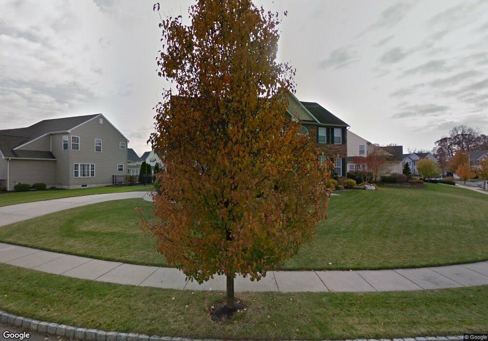
184 Yorktown Rd Swedesboro, NJ 08085
Woolwich Township NeighborhoodEstimated Value: $641,300 - $665,000
--
Bed
--
Bath
3,177
Sq Ft
$206/Sq Ft
Est. Value
About This Home
This home is located at 184 Yorktown Rd, Swedesboro, NJ 08085 and is currently estimated at $653,325, approximately $205 per square foot. 184 Yorktown Rd is a home located in Gloucester County with nearby schools including Margaret C Clifford School, Gov. Charles C. Stratton School, and Gen. Charles G. Harker School.
Ownership History
Date
Name
Owned For
Owner Type
Purchase Details
Closed on
Apr 25, 2003
Sold by
Poplar Point Llc
Bought by
Wharton Robert C and Wharton Margaret Ann
Current Estimated Value
Home Financials for this Owner
Home Financials are based on the most recent Mortgage that was taken out on this home.
Original Mortgage
$270,000
Outstanding Balance
$117,522
Interest Rate
5.93%
Mortgage Type
Purchase Money Mortgage
Estimated Equity
$535,803
Create a Home Valuation Report for This Property
The Home Valuation Report is an in-depth analysis detailing your home's value as well as a comparison with similar homes in the area
Home Values in the Area
Average Home Value in this Area
Purchase History
| Date | Buyer | Sale Price | Title Company |
|---|---|---|---|
| Wharton Robert C | $309,988 | Title America |
Source: Public Records
Mortgage History
| Date | Status | Borrower | Loan Amount |
|---|---|---|---|
| Open | Wharton Robert C | $270,000 |
Source: Public Records
Tax History Compared to Growth
Tax History
| Year | Tax Paid | Tax Assessment Tax Assessment Total Assessment is a certain percentage of the fair market value that is determined by local assessors to be the total taxable value of land and additions on the property. | Land | Improvement |
|---|---|---|---|---|
| 2025 | $12,948 | $385,600 | $60,100 | $325,500 |
| 2024 | $12,721 | $385,600 | $60,100 | $325,500 |
| 2023 | $12,721 | $385,600 | $60,100 | $325,500 |
| 2022 | $12,983 | $385,600 | $60,100 | $325,500 |
| 2021 | $13,249 | $385,600 | $60,100 | $325,500 |
| 2020 | $13,230 | $385,600 | $60,100 | $325,500 |
| 2019 | $12,917 | $343,900 | $60,100 | $283,800 |
| 2018 | $12,865 | $343,900 | $60,100 | $283,800 |
| 2017 | $12,614 | $343,900 | $60,100 | $283,800 |
| 2016 | $12,490 | $343,900 | $60,100 | $283,800 |
| 2015 | $12,205 | $343,900 | $60,100 | $283,800 |
| 2014 | $11,596 | $343,900 | $60,100 | $283,800 |
Source: Public Records
Map
Nearby Homes
- 1508 Lexington Mews
- 1030 Auburn Rd
- 5 Wesley Dr
- 1932 Kings Hwy
- 105 Sammy St
- 1720-22 Kings Hwy
- 213 Dalton Dr
- 1602 Kings Hwy
- 613 Sammy St
- 104 Waterford Way
- 364 High Hill Rd
- 135 Juniper Ln
- 119 Railroad Ave
- 400 2nd St
- 142 Ramona Ln
- 330 Taft Dr
- 217 Spruce Trail
- 203 Amesbury Blvd
- Greyson Plan at The Ridings at Woolwich
- Hadley Plan at The Ridings at Woolwich
- 172 Yorktown Rd
- 188 Yorktown Rd
- 181 Yorktown Rd
- 179 Yorktown Rd
- 183 Yorktown Rd
- 190 Yorktown Rd
- 175 Yorktown Rd
- 173 Yorktown Rd
- 158 Yorktown Rd
- 185 Yorktown Rd
- 170 Yorktown Rd
- 171 Yorktown Rd
- 156 Yorktown Rd
- 187 Yorktown Rd
- 192 Yorktown Rd
- 189 Yorktown Rd
- 169 Yorktown Rd
- 159 Yorktown Rd
- 157 Yorktown Rd
- 194 Yorktown Rd