184 Zorro Ct Schwenksville, PA 19473
Limerick Township NeighborhoodEstimated Value: $835,000 - $910,000
4
Beds
4
Baths
2,890
Sq Ft
$301/Sq Ft
Est. Value
About This Home
This home is located at 184 Zorro Ct, Schwenksville, PA 19473 and is currently estimated at $869,308, approximately $300 per square foot. 184 Zorro Ct is a home located in Montgomery County with nearby schools including Evans Elementary School, Spring-Ford Middle School 8th Grade Center, and Spring-Ford Middle School 5/6/7 Grade Center.
Ownership History
Date
Name
Owned For
Owner Type
Purchase Details
Closed on
May 4, 2007
Sold by
Fisher Steve
Bought by
Greenlee Jan and Greenlee Sam
Current Estimated Value
Home Financials for this Owner
Home Financials are based on the most recent Mortgage that was taken out on this home.
Original Mortgage
$200,000
Outstanding Balance
$121,720
Interest Rate
6.18%
Estimated Equity
$747,588
Create a Home Valuation Report for This Property
The Home Valuation Report is an in-depth analysis detailing your home's value as well as a comparison with similar homes in the area
Home Values in the Area
Average Home Value in this Area
Purchase History
| Date | Buyer | Sale Price | Title Company |
|---|---|---|---|
| Greenlee Jan | $607,885 | None Available |
Source: Public Records
Mortgage History
| Date | Status | Borrower | Loan Amount |
|---|---|---|---|
| Open | Greenlee Jan | $200,000 | |
| Open | Greenlee Jan | $407,885 |
Source: Public Records
Tax History Compared to Growth
Tax History
| Year | Tax Paid | Tax Assessment Tax Assessment Total Assessment is a certain percentage of the fair market value that is determined by local assessors to be the total taxable value of land and additions on the property. | Land | Improvement |
|---|---|---|---|---|
| 2025 | $10,874 | $281,220 | -- | -- |
| 2024 | $10,874 | $281,220 | -- | -- |
| 2023 | $10,375 | $281,220 | $0 | $0 |
| 2022 | $10,024 | $281,220 | $0 | $0 |
| 2021 | $9,787 | $281,220 | $0 | $0 |
| 2020 | $9,539 | $281,220 | $0 | $0 |
| 2019 | $9,365 | $281,220 | $0 | $0 |
| 2018 | $7,352 | $281,220 | $0 | $0 |
| 2017 | $9,192 | $281,220 | $0 | $0 |
| 2016 | $9,082 | $281,220 | $0 | $0 |
| 2015 | $8,690 | $281,220 | $0 | $0 |
| 2014 | $8,690 | $281,220 | $0 | $0 |
Source: Public Records
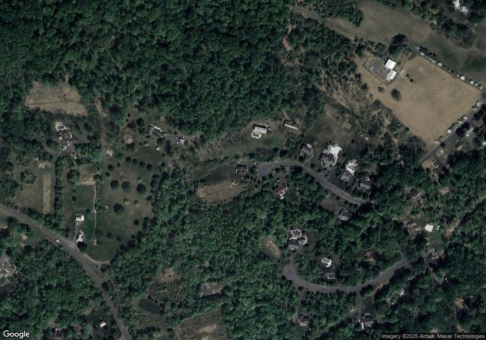
Map
Nearby Homes
- 64 Mill Rd
- 90 Kurtz Rd
- 2576 Swamp Pike
- 00 Bragg Rd
- 0 Steinmetz Rd
- 411 Swamp Pike
- 2499 Wagner Rd
- 2488 Sanatoga Rd
- 2503 Jessica Dr
- 2419 Sanatoga Rd
- 2933 New Hanover Square Rd
- 2905 Burton Dr
- 39A Fruitville Rd
- 1180 Rupert Rd
- 39 Bunker Way
- 100 Masters Dr
- 94 Presidential Dr
- 0 Industrial Pkwy Unit PAMC2142810
- 2312 Cassard Cir
- 2911 Federal Dr