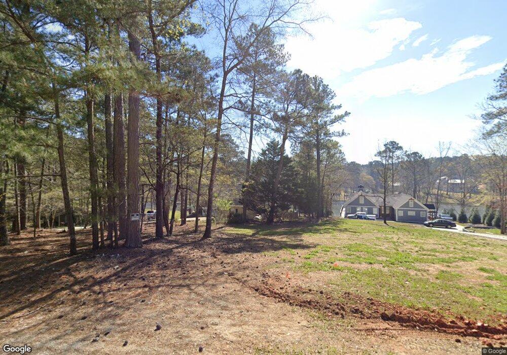
1840 Armour Bridge Rd Greensboro, GA 30642
Estimated Value: $625,000 - $1,167,000
--
Bed
2
Baths
1,740
Sq Ft
$521/Sq Ft
Est. Value
About This Home
This home is located at 1840 Armour Bridge Rd, Greensboro, GA 30642 and is currently estimated at $906,626, approximately $521 per square foot. 1840 Armour Bridge Rd is a home located in Greene County with nearby schools including Greene County High School.
Ownership History
Date
Name
Owned For
Owner Type
Purchase Details
Closed on
Dec 2, 2014
Sold by
Mccurdy Jean K -Year'S Support
Bought by
Mccurdy-Kennedy Paige M
Current Estimated Value
Purchase Details
Closed on
Aug 16, 2012
Sold by
Mccurdy-Power Of Attn See Com
Bought by
Mccurdy Jean K -Year'S Support
Purchase Details
Closed on
Aug 15, 2012
Sold by
Mccurdy Robert S
Bought by
Mccurdy Jean K
Purchase Details
Closed on
Nov 18, 1997
Sold by
Northstar Enterprises Inc
Bought by
Mccurdy Robert S and Mccurdy Jean K
Purchase Details
Closed on
Jan 1, 1985
Sold by
Smith Roger T and Smith Connie
Bought by
Adams Jack and Adams Sandra G
Purchase Details
Closed on
Jan 1, 1982
Sold by
Lake Oconee Inc
Bought by
Smith Roger T and Smith Connie
Purchase Details
Closed on
Jan 1, 1978
Sold by
Lake Wallace Inc
Bought by
Lewis Waldo J
Create a Home Valuation Report for This Property
The Home Valuation Report is an in-depth analysis detailing your home's value as well as a comparison with similar homes in the area
Home Values in the Area
Average Home Value in this Area
Purchase History
| Date | Buyer | Sale Price | Title Company |
|---|---|---|---|
| Mccurdy-Kennedy Paige M | -- | -- | |
| Mccurdy Kennedy Paige M | -- | -- | |
| Mccurdy Jean K -Year'S Support | -- | -- | |
| Mccurdy Jean K | -- | -- | |
| Mccurdy Robert S | $100,000 | -- | |
| Adams Jack | -- | -- | |
| Smith Roger T | -- | -- | |
| Lewis Waldo J | -- | -- |
Source: Public Records
Tax History Compared to Growth
Tax History
| Year | Tax Paid | Tax Assessment Tax Assessment Total Assessment is a certain percentage of the fair market value that is determined by local assessors to be the total taxable value of land and additions on the property. | Land | Improvement |
|---|---|---|---|---|
| 2024 | $4,365 | $267,480 | $141,200 | $126,280 |
| 2023 | $3,885 | $278,760 | $141,200 | $137,560 |
| 2022 | $3,524 | $191,640 | $90,800 | $100,840 |
| 2021 | $3,239 | $163,320 | $70,600 | $92,720 |
| 2020 | $3,142 | $144,360 | $77,760 | $66,600 |
| 2019 | $3,230 | $144,360 | $77,760 | $66,600 |
| 2018 | $3,213 | $144,360 | $77,760 | $66,600 |
| 2017 | $2,987 | $143,173 | $77,760 | $65,413 |
Source: Public Records
Map
Nearby Homes
- 1991 Armour Bridge Rd
- 1800 Buckhead Dr
- 1031 Hawks Bill Dr
- 1430 Buckhead Dr
- 1230 Lake Club Dr
- 1251 Lake Club Dr
- 1221 Lake Club Dr
- 1010 Portage Trail
- 1050 Tailwater Unit A
- 1050 Tailwater
- 1341 Granite Cove Dr
- 1010 Tailwater
- 1030 Tailwater
- 1321 Swift Creek
- 1010 Creekside Unit A
- 1010 Creekside
- 1611 Lighthouse Cir
- 1850 Armour Bridge Rd
- 1830 Armour Bridge Rd
- 1860 Armour Bridge Rd
- 1800 Armour Bridge Rd
- 1870 Armour Bridge Rd
- 1861 Armour Bridge Rd
- 1780 Armour Bridge Rd
- 1041 Fox Chase Run
- 1831 Armour Bridge Rd
- 1040 Fox Chase Run
- 1031 Fox Chase Run
- 1890 Armour Bridge Rd
- 1030 Fox Chase Run
- 1770 Armour Bridge Rd
- 1021 Fox Chase Run
- 1021 Fawn Ln
- 1021 Fawn Ln Unit 1
- 0 Armour Bridge Rd Unit F 7388488
- 0 Armour Bridge Rd Unit LOT G 7527261
- 0 Armour Bridge Rd Unit F 8047307