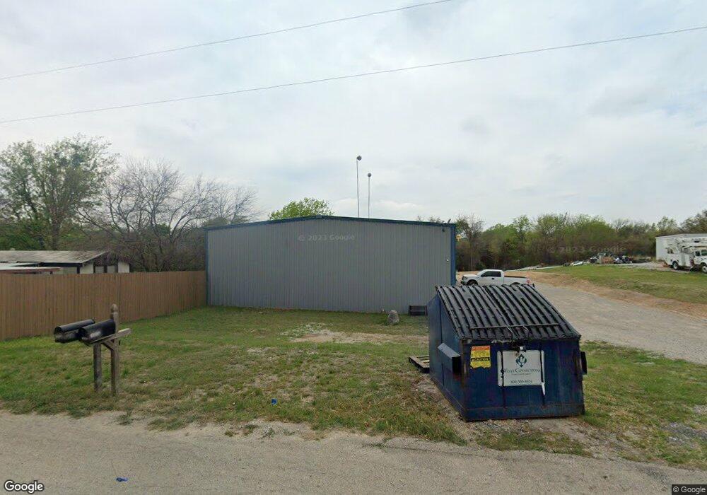
1840 Barnett Dr Weatherford, TX 76087
--
Bed
--
Bath
2,022
Sq Ft
0.75
Acres
About This Home
This home is located at 1840 Barnett Dr, Weatherford, TX 76087. 1840 Barnett Dr is a home located in Parker County with nearby schools including Ikard Elementary School, Tison Middle School, and Weatherford High School.
Ownership History
Date
Name
Owned For
Owner Type
Purchase Details
Closed on
Mar 28, 2025
Sold by
1840 Barnett Llc
Bought by
Barnett Weatherford Llc
Home Financials for this Owner
Home Financials are based on the most recent Mortgage that was taken out on this home.
Original Mortgage
$410,400
Outstanding Balance
$381,310
Interest Rate
6.87%
Mortgage Type
New Conventional
Purchase Details
Closed on
Dec 12, 2023
Sold by
Lavelle Rental Lp
Bought by
1840 Bamett Llc
Home Financials for this Owner
Home Financials are based on the most recent Mortgage that was taken out on this home.
Original Mortgage
$320,000
Interest Rate
7.76%
Purchase Details
Closed on
Jun 5, 2003
Sold by
Ptomey Al and Beall Dennis
Bought by
Lavelle Rental Lp
Purchase Details
Closed on
Jan 23, 2003
Sold by
Hansma Paul L and Hansma Julie
Bought by
Lavelle Rental Lp
Purchase Details
Closed on
Sep 7, 2001
Sold by
Sims W R
Bought by
Lavelle Rental Lp
Create a Home Valuation Report for This Property
The Home Valuation Report is an in-depth analysis detailing your home's value as well as a comparison with similar homes in the area
Home Values in the Area
Average Home Value in this Area
Purchase History
| Date | Buyer | Sale Price | Title Company |
|---|---|---|---|
| Barnett Weatherford Llc | -- | Providence Title Company | |
| 1840 Bamett Llc | -- | Providence Title Company | |
| Lavelle Rental Lp | -- | -- | |
| Lavelle Rental Lp | -- | -- | |
| Lavelle Rental Lp | -- | -- |
Source: Public Records
Mortgage History
| Date | Status | Borrower | Loan Amount |
|---|---|---|---|
| Open | Barnett Weatherford Llc | $410,400 | |
| Previous Owner | 1840 Bamett Llc | $320,000 | |
| Previous Owner | 1840 Bamett Llc | $320,000 |
Source: Public Records
Tax History Compared to Growth
Tax History
| Year | Tax Paid | Tax Assessment Tax Assessment Total Assessment is a certain percentage of the fair market value that is determined by local assessors to be the total taxable value of land and additions on the property. | Land | Improvement |
|---|---|---|---|---|
| 2025 | $5,771 | $568,250 | $98,010 | $470,240 |
| 2024 | $5,771 | $354,270 | $75,000 | $279,270 |
| 2023 | $5,771 | $354,270 | $75,000 | $279,270 |
| 2022 | $3,547 | $190,490 | $37,500 | $152,990 |
| 2021 | $3,845 | $190,490 | $37,500 | $152,990 |
| 2020 | $3,725 | $183,670 | $30,000 | $153,670 |
| 2019 | $4,062 | $187,710 | $30,000 | $157,710 |
| 2018 | $3,774 | $173,490 | $22,500 | $150,990 |
| 2017 | $3,934 | $177,220 | $22,500 | $154,720 |
| 2016 | $4,391 | $197,820 | $22,500 | $175,320 |
| 2015 | $4,332 | $197,820 | $22,500 | $175,320 |
| 2014 | $3,594 | $177,490 | $19,500 | $157,990 |
Source: Public Records
Map
Nearby Homes
- 2113 Country Brook Dr
- 2102 Clear Creek Dr
- 2020 Maplewood Dr
- 2904 E Bankhead Hwy
- 104 Carriage Hill Ct
- 1910 Maplewood Dr
- 1905 Clear Creek Dr
- 2116 Clear Lake Rd
- 344 Clear Lake Ln
- 115 Autumn Springs Ct
- 2218 Lake Country Dr
- 2214 Lake Country Dr
- 2202 Lakeforest Dr
- 221 Arapahoe Ridge
- 2001 Santa fe Dr
- 105 Country Green Ct
- 128 Black Forest Dr
- 118 Black Forest Dr
- 101 Black Forest Dr
- Tbd Dean St