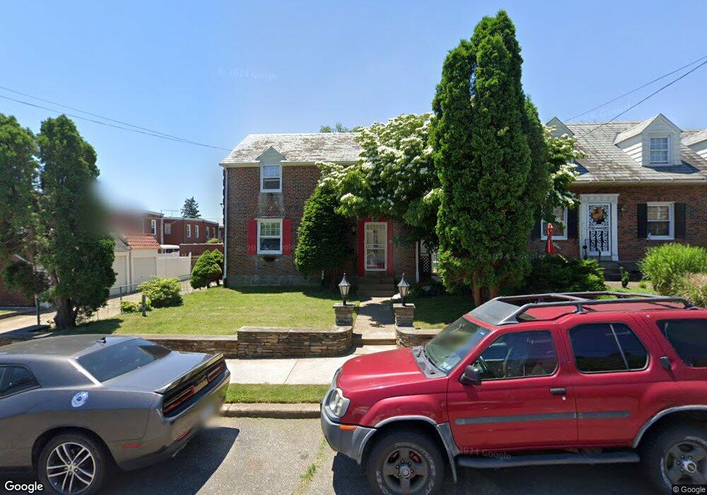
1840 Chandler St Philadelphia, PA 19111
Rhawnhurst NeighborhoodEstimated Value: $333,995 - $398,000
--
Bed
--
Bath
1,732
Sq Ft
$212/Sq Ft
Est. Value
About This Home
This home is located at 1840 Chandler St, Philadelphia, PA 19111 and is currently estimated at $366,749, approximately $211 per square foot. 1840 Chandler St is a home located in Philadelphia County with nearby schools including Rhawnhurst School, Castor Gardens Middle School, and Northeast High School.
Ownership History
Date
Name
Owned For
Owner Type
Purchase Details
Closed on
Dec 22, 1999
Sold by
Simolike Arlene Glenn and Will Of Irene J Norton
Bought by
Vietorisz Vilmos
Current Estimated Value
Home Financials for this Owner
Home Financials are based on the most recent Mortgage that was taken out on this home.
Original Mortgage
$114,826
Outstanding Balance
$35,593
Interest Rate
7.73%
Mortgage Type
FHA
Estimated Equity
$331,156
Create a Home Valuation Report for This Property
The Home Valuation Report is an in-depth analysis detailing your home's value as well as a comparison with similar homes in the area
Home Values in the Area
Average Home Value in this Area
Purchase History
| Date | Buyer | Sale Price | Title Company |
|---|---|---|---|
| Vietorisz Vilmos | $114,900 | -- |
Source: Public Records
Mortgage History
| Date | Status | Borrower | Loan Amount |
|---|---|---|---|
| Open | Vietorisz Vilmos | $114,826 |
Source: Public Records
Tax History Compared to Growth
Tax History
| Year | Tax Paid | Tax Assessment Tax Assessment Total Assessment is a certain percentage of the fair market value that is determined by local assessors to be the total taxable value of land and additions on the property. | Land | Improvement |
|---|---|---|---|---|
| 2025 | $4,139 | $347,500 | $69,500 | $278,000 |
| 2024 | $4,139 | $347,500 | $69,500 | $278,000 |
| 2023 | $4,139 | $295,700 | $59,140 | $236,560 |
| 2022 | $3,509 | $250,700 | $59,140 | $191,560 |
| 2021 | $3,423 | $0 | $0 | $0 |
| 2020 | $3,423 | $0 | $0 | $0 |
| 2019 | $3,313 | $0 | $0 | $0 |
| 2018 | $2,856 | $0 | $0 | $0 |
| 2017 | $2,856 | $0 | $0 | $0 |
| 2016 | $2,436 | $0 | $0 | $0 |
| 2015 | $2,734 | $0 | $0 | $0 |
| 2014 | -- | $204,000 | $79,910 | $124,090 |
| 2012 | -- | $31,136 | $9,074 | $22,062 |
Source: Public Records
Map
Nearby Homes
- 1826 Hartel Ave
- 1834 Lansing St
- 7912 14 Loretto Ave
- 1919 Lansing St
- 1807 Napfle Ave
- 1917 Griffith St
- 1821 Afton St
- 1824 Afton St
- 2023 Hartel Ave
- 7830 Summerdale Ave
- 1719 Loney St
- 1714 Afton St
- 7528 Loretto Ave
- 1627 Borbeck Ave
- 2029 Loney St
- 7734 Langdon St
- 1620 Loney St
- 1931 33 Rhawn St
- 1718 Rhawn St
- 1858 Glendale Ave
- 1836 Chandler St
- 7812 Loretto Ave
- 7810 Loretto Ave
- 7814 Loretto Ave
- 7808 Loretto Ave
- 1832 Chandler St
- 7806 Loretto Ave
- 1839 Hartel Ave
- 1837 Hartel Ave
- 1835 Hartel Ave
- 7804 Loretto Ave
- 1833 Hartel Ave
- 1831 Hartel Ave
- 7816 Loretto Ave
- 1829 Hartel Ave
- 1823 Chandler St
- 7800 Loretto Ave
- 7802 Loretto Ave
- 7818 Loretto Ave
- 1821 Chandler St