1840 Rolling Oaks Ct Unit Bldg-Unit Rochester, MI 48306
Estimated Value: $907,000 - $1,229,000
3
Beds
4
Baths
2,904
Sq Ft
$347/Sq Ft
Est. Value
About This Home
This home is located at 1840 Rolling Oaks Ct Unit Bldg-Unit, Rochester, MI 48306 and is currently estimated at $1,008,610, approximately $347 per square foot. 1840 Rolling Oaks Ct Unit Bldg-Unit is a home located in Oakland County with nearby schools including Hugger Elementary School, Hart Middle School, and Stoney Creek High School.
Ownership History
Date
Name
Owned For
Owner Type
Purchase Details
Closed on
Mar 6, 2019
Sold by
Ehardt Paul H and Ehardt Helen H
Bought by
Hodges Jon and Hodges Nicole
Current Estimated Value
Home Financials for this Owner
Home Financials are based on the most recent Mortgage that was taken out on this home.
Original Mortgage
$471,200
Outstanding Balance
$414,265
Interest Rate
4.4%
Mortgage Type
New Conventional
Estimated Equity
$594,345
Create a Home Valuation Report for This Property
The Home Valuation Report is an in-depth analysis detailing your home's value as well as a comparison with similar homes in the area
Home Values in the Area
Average Home Value in this Area
Purchase History
| Date | Buyer | Sale Price | Title Company |
|---|---|---|---|
| Hodges Jon | $589,000 | None Available |
Source: Public Records
Mortgage History
| Date | Status | Borrower | Loan Amount |
|---|---|---|---|
| Open | Hodges Jon | $471,200 |
Source: Public Records
Tax History Compared to Growth
Tax History
| Year | Tax Paid | Tax Assessment Tax Assessment Total Assessment is a certain percentage of the fair market value that is determined by local assessors to be the total taxable value of land and additions on the property. | Land | Improvement |
|---|---|---|---|---|
| 2024 | $6,548 | $455,970 | $0 | $0 |
| 2023 | $6,296 | $437,160 | $0 | $0 |
| 2022 | $9,325 | $377,380 | $0 | $0 |
| 2021 | $8,692 | $368,530 | $0 | $0 |
| 2020 | $6,083 | $352,640 | $0 | $0 |
| 2019 | $7,307 | $398,190 | $0 | $0 |
| 2018 | $7,336 | $368,950 | $0 | $0 |
| 2017 | $7,231 | $358,060 | $0 | $0 |
| 2016 | $7,193 | $339,070 | $0 | $0 |
| 2015 | -- | $318,490 | $0 | $0 |
| 2014 | -- | $292,630 | $0 | $0 |
| 2011 | -- | $252,350 | $0 | $0 |
Source: Public Records
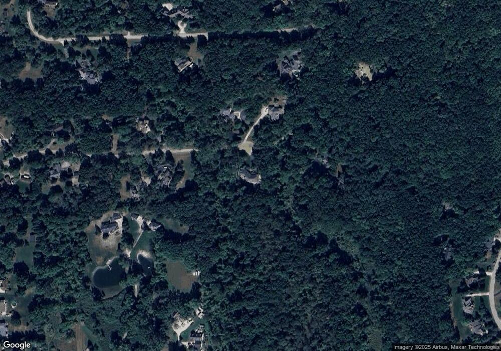
Map
Nearby Homes
- 2032 Dean Dr
- 2560 Darren Dr
- 61995 Mount Vernon Rd
- 63888 Dequindre Rd
- 2285 E Gunn Rd
- 2995 Hadden Rd
- 1200 Eagle Nest Dr
- 3082 Pompilio Dr
- 3269 Willis Dr
- 3268 Willis Dr
- 912 E Gunn Rd
- 3146 Pompilio Dr
- 3214 Pompilio Dr
- The Champlain Plan at Sorelle Estates
- The Lucerne Plan at Sorelle Estates
- The Granada Plan at Sorelle Estates
- The Seneca Plan at Sorelle Estates
- The Marion Plan at Sorelle Estates
- The Palisade Plan at Sorelle Estates
- 61631 Spring Circle Trail
- 1840 Rolling Oaks Ct
- 1801 Rolling Oaks Ct
- 1900 Rolling Oaks Ct
- 1760 Rolling Oaks Rd
- 1851 Rolling Oaks Ct
- 1761 Rolling Oaks Rd
- 3100 Cook Ct
- 1686 Rolling Oaks Rd
- 1800 Buell Ct
- 1700 Buell Ct
- 3200 Cook Ct
- 1705 E Gunn Rd
- 1681 Rolling Oaks Rd
- 1900 Buell Ct
- 1725 E Gunn Rd
- 1803 Buell Ct
- 1701 Buell Ct
- 1660 Buell Ct
- 1610 Rolling Oaks Rd
- 2004 Dean Dr