1840 Route 739 Dingmans Ferry, PA 18328
Estimated Value: $331,030 - $459,000
--
Bed
--
Bath
1,612
Sq Ft
$245/Sq Ft
Est. Value
About This Home
This home is located at 1840 Route 739, Dingmans Ferry, PA 18328 and is currently estimated at $395,015, approximately $245 per square foot. 1840 Route 739 is a home located in Pike County with nearby schools including Delaware Valley High School.
Ownership History
Date
Name
Owned For
Owner Type
Purchase Details
Closed on
Jul 18, 2017
Sold by
Simmons Paul E
Bought by
Blue Ridge Tree Services Llc
Current Estimated Value
Home Financials for this Owner
Home Financials are based on the most recent Mortgage that was taken out on this home.
Original Mortgage
$135,000
Interest Rate
4.03%
Mortgage Type
Purchase Money Mortgage
Create a Home Valuation Report for This Property
The Home Valuation Report is an in-depth analysis detailing your home's value as well as a comparison with similar homes in the area
Home Values in the Area
Average Home Value in this Area
Purchase History
| Date | Buyer | Sale Price | Title Company |
|---|---|---|---|
| Blue Ridge Tree Services Llc | $185,000 | Mountain Abstract |
Source: Public Records
Mortgage History
| Date | Status | Borrower | Loan Amount |
|---|---|---|---|
| Closed | Blue Ridge Tree Services Llc | $135,000 |
Source: Public Records
Tax History Compared to Growth
Tax History
| Year | Tax Paid | Tax Assessment Tax Assessment Total Assessment is a certain percentage of the fair market value that is determined by local assessors to be the total taxable value of land and additions on the property. | Land | Improvement |
|---|---|---|---|---|
| 2025 | $5,886 | $37,610 | $14,580 | $23,030 |
| 2024 | $5,886 | $37,610 | $14,580 | $23,030 |
| 2023 | $5,726 | $37,610 | $14,580 | $23,030 |
| 2022 | $5,576 | $37,610 | $14,580 | $23,030 |
| 2021 | $5,520 | $37,610 | $14,580 | $23,030 |
| 2020 | $5,520 | $37,610 | $14,580 | $23,030 |
| 2019 | $5,346 | $37,610 | $14,580 | $23,030 |
| 2018 | $5,346 | $37,610 | $14,580 | $23,030 |
| 2017 | $5,243 | $37,610 | $14,580 | $23,030 |
| 2016 | $0 | $37,610 | $14,580 | $23,030 |
| 2014 | -- | $37,610 | $14,580 | $23,030 |
Source: Public Records
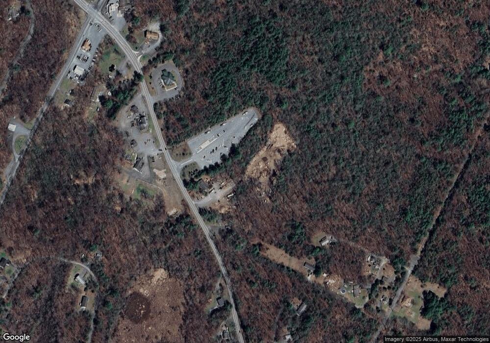
Map
Nearby Homes
- Lot 85,86, Lot 85a Blk B-95 S-13
- 114 Kemadobi Cir W
- 106 Kemadobi Cir E
- Lot 33 Primrose Ln
- 116 Ln
- 105 Kemadobi Cir E
- 113 Lancet Cir
- 102 Stone Ridge Rd
- 0 Pa-739 Unit PM-114282
- Lot 3 Aspen Rd
- 146 Spencer Rd
- 763 Milford Rd
- 0 Old Hickory Outer Dr Unit PWBPW250285
- 213 Butternut St
- 179 Tulip St
- 139 Chestnut St
- 101 Meath Ln
- 46 Creek Ln
- Lot 29 Resers Way
- Lot 907 Seneca Trail
- 1844 Route 739
- 1840 Pennsylvania 739
- 1831 Pennsylvania 739
- 1824 Route 739
- 1824 Pennsylvania 739
- 1824 Rte 739
- 1851 Route 739
- 161 Kemadobi Cir E
- 100 Mary Lous Way
- 104 Parkside Ln
- 107 Deer Path Ln
- 144 Kemadobi Cir W Unit Lot 517
- 107 Mary Lous Way
- 1821 Route 739
- 210 Kemadobi Cir E
- Lot 218 W Kemadobi Cir
- 1855 Pennsylvania 739
- 870 Milford Rd
- 158 Kemodobi Cir W
- 1820 Route 739