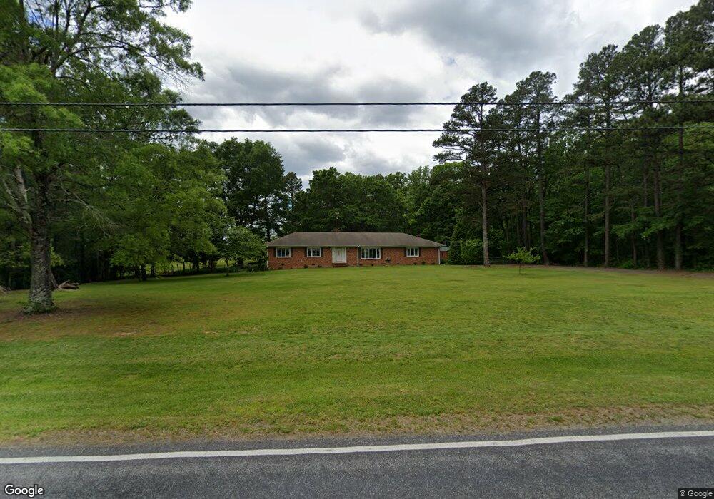
1840 Weant Rd High Point, NC 27263
Estimated Value: $297,000 - $569,000
3
Beds
2
Baths
2,690
Sq Ft
$144/Sq Ft
Est. Value
About This Home
This home is located at 1840 Weant Rd, High Point, NC 27263 and is currently estimated at $388,033, approximately $144 per square foot. 1840 Weant Rd is a home located in Guilford County with nearby schools including Allen Jay Elementary School, Southern Guilford Middle, and Southern Guilford High School.
Ownership History
Date
Name
Owned For
Owner Type
Purchase Details
Closed on
Mar 4, 2004
Sold by
Frye Johnny M and Frye Patricia A
Bought by
Nc Department Of Transportation
Current Estimated Value
Purchase Details
Closed on
May 13, 1999
Sold by
Anderson Ray and Anderson Betty
Bought by
Frye Johnny M
Purchase Details
Closed on
Mar 31, 1992
Bought by
Frye Johnny M
Create a Home Valuation Report for This Property
The Home Valuation Report is an in-depth analysis detailing your home's value as well as a comparison with similar homes in the area
Home Values in the Area
Average Home Value in this Area
Purchase History
| Date | Buyer | Sale Price | Title Company |
|---|---|---|---|
| Nc Department Of Transportation | $2,550 | -- | |
| Frye Johnny M | $3,500 | -- | |
| Frye Johnny M | $140,000 | -- |
Source: Public Records
Tax History
| Year | Tax Paid | Tax Assessment Tax Assessment Total Assessment is a certain percentage of the fair market value that is determined by local assessors to be the total taxable value of land and additions on the property. | Land | Improvement |
|---|---|---|---|---|
| 2025 | $1,687 | $192,300 | $40,800 | $151,500 |
| 2024 | $1,687 | $192,300 | $40,800 | $151,500 |
| 2023 | $1,687 | $192,300 | $40,800 | $151,500 |
| 2022 | $1,687 | $192,300 | $40,800 | $151,500 |
| 2021 | $1,366 | $155,700 | $32,100 | $123,600 |
| 2020 | $1,366 | $155,700 | $32,100 | $123,600 |
| 2019 | $1,366 | $155,700 | $0 | $0 |
| 2018 | $0 | $155,700 | $0 | $0 |
| 2017 | $0 | $155,700 | $0 | $0 |
| 2016 | $1,350 | $154,300 | $0 | $0 |
| 2015 | $1,358 | $154,300 | $0 | $0 |
| 2014 | $1,373 | $154,300 | $0 | $0 |
Source: Public Records
Map
Nearby Homes
- 105 Oak Ridge Dr
- 3738 Amber Way
- 0 Waterbury Dr
- 101 Brightleaf Ct
- 4375 Huff Rd
- 107 Autumn Hill Ct
- 510 Aldridge Rd
- 1650 Kersey Valley Rd
- 1638 Kersey Valley Rd
- 147 Dove Meadows Dr
- 4020 Knollwood Dr
- 108 Sprucewood Ct
- 0 Sprucewood Ct
- 6111 Appletree Ct
- 611 Liberty Rd
- 000 Liberty Rd
- 219 Tarheel Dr
- 126 Apollo Cir
- 4405 Knollwood Dr
- 118 Rand Blvd
- 1836 Weant Rd
- 6152 Weant Rd
- 1841 Weant Rd
- 7026 Weant Rd
- 1835 Weant Rd
- 3790 Chadwick Dr
- 7004 Weant Rd
- 3772 Chadwick Dr
- 3755 Chadwick Dr
- 7100 Chanterelle Dr
- 7102 Chanterelle Dr
- 7104 Chanterelle Dr
- 3751 Chadwick Dr
- 101 Oak Ridge Dr
- 107 Oak Ridge Dr
- 103 Oak Ridge Dr
- 3741 Chadwick Dr
- 7224 Chanterelle Dr
- 111 Oak Ridge Dr
- 6965 Weant Rd
Your Personal Tour Guide
Ask me questions while you tour the home.