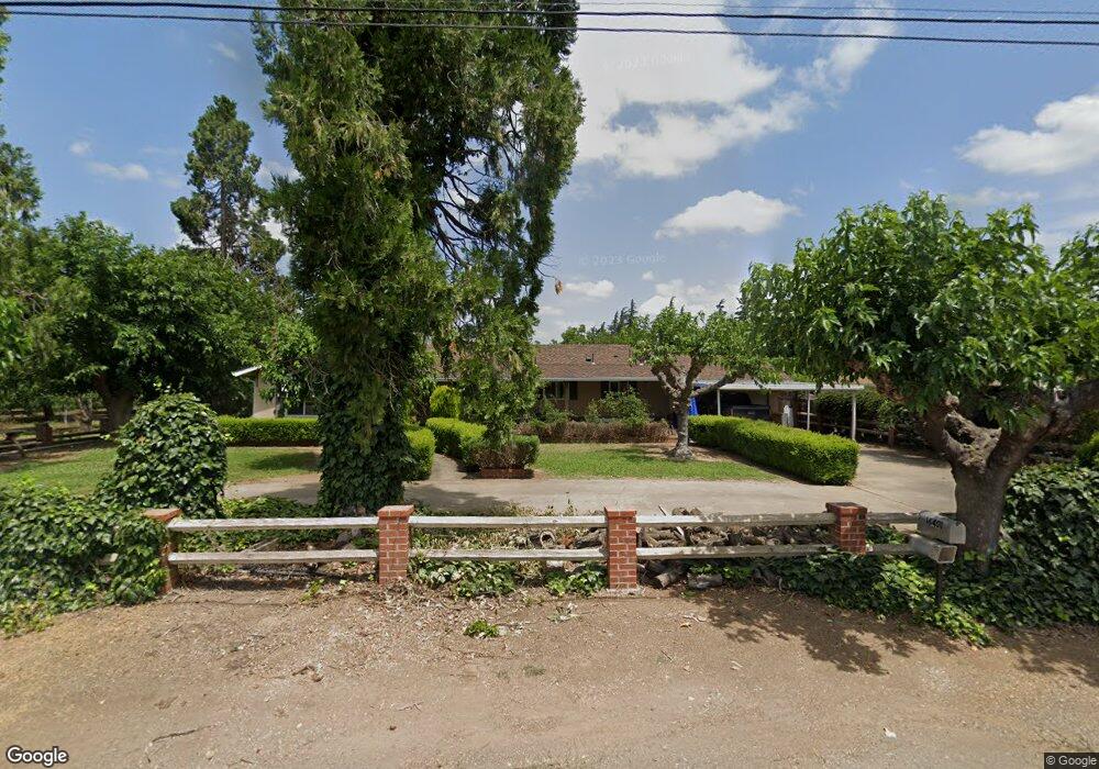
18401 E Front St Linden, CA 95236
Estimated Value: $483,420 - $615,000
3
Beds
2
Baths
1,652
Sq Ft
$332/Sq Ft
Est. Value
About This Home
This home is located at 18401 E Front St, Linden, CA 95236 and is currently estimated at $548,355, approximately $331 per square foot. 18401 E Front St is a home located in San Joaquin County with nearby schools including Linden Elementary School, Waterloo Elementary School, and Linden High School.
Ownership History
Date
Name
Owned For
Owner Type
Purchase Details
Closed on
Dec 28, 2007
Sold by
Poggio Domenic
Bought by
Poggio Domenic G and Domenic G Poggio 2007 Trust
Current Estimated Value
Home Financials for this Owner
Home Financials are based on the most recent Mortgage that was taken out on this home.
Original Mortgage
$50,000
Interest Rate
6.05%
Mortgage Type
Purchase Money Mortgage
Purchase Details
Closed on
Jul 6, 2004
Sold by
Poggio Anthony D
Bought by
Poggio Anthony and Anthony Poggio 2004 Trust
Create a Home Valuation Report for This Property
The Home Valuation Report is an in-depth analysis detailing your home's value as well as a comparison with similar homes in the area
Purchase History
| Date | Buyer | Sale Price | Title Company |
|---|---|---|---|
| Poggio Domenic G | -- | None Available | |
| Poggio Domenic | -- | None Available | |
| Poggio Anthony | -- | -- |
Source: Public Records
Mortgage History
| Date | Status | Borrower | Loan Amount |
|---|---|---|---|
| Closed | Poggio Domenic | $50,000 |
Source: Public Records
Tax History
| Year | Tax Paid | Tax Assessment Tax Assessment Total Assessment is a certain percentage of the fair market value that is determined by local assessors to be the total taxable value of land and additions on the property. | Land | Improvement |
|---|---|---|---|---|
| 2025 | $1,096 | $98,906 | $17,400 | $81,506 |
| 2024 | $1,061 | $96,967 | $17,059 | $79,908 |
| 2023 | $1,047 | $95,067 | $16,725 | $78,342 |
| 2022 | $1,034 | $93,204 | $16,398 | $76,806 |
| 2021 | $1,021 | $91,377 | $16,077 | $75,300 |
| 2020 | $1,021 | $90,441 | $15,913 | $74,528 |
| 2019 | $1,005 | $88,668 | $15,601 | $73,067 |
| 2018 | $990 | $86,931 | $15,296 | $71,635 |
| 2017 | $970 | $85,228 | $14,997 | $70,231 |
| 2016 | $956 | $83,557 | $14,703 | $68,854 |
| 2014 | $936 | $80,690 | $14,198 | $66,492 |
Source: Public Records
Map
Nearby Homes
- 18010 Foreman Ct
- 18539 Monte Vista Dr
- 5343 Knox Dr
- 4607 Archerdale Rd
- 19909 E Comstock Rd
- 5210 N Fine Rd
- 22350 Dynasty Ln
- 1051 Versi Ct
- 21044 Meza Ln
- 537 S Meza Ct
- 10221 Baker Rd
- 9999 9985 N Shelton
- 18190 Copperopolis Rd
- 11633 Norman Ave
- 11617 Norman Ave
- 11844 Ada Ave
- 11550 Norman Ave
- 12860 E Tokay Colony Rd
- 12750 E Live Oak Rd
- 4810 Braghetta Ln
Your Personal Tour Guide
Ask me questions while you tour the home.