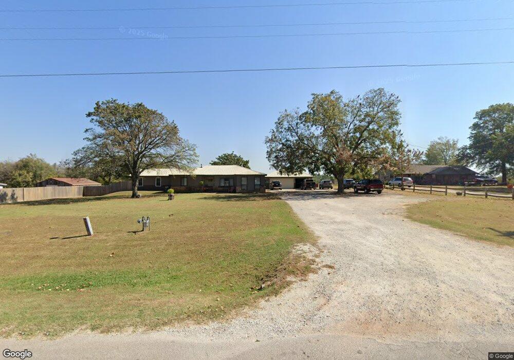
18405 13th St Shawnee, OK 74801
Estimated Value: $252,000 - $363,000
8
Beds
5
Baths
4,106
Sq Ft
$71/Sq Ft
Est. Value
About This Home
This home is located at 18405 13th St, Shawnee, OK 74801 and is currently estimated at $291,101, approximately $70 per square foot. 18405 13th St is a home located in Pottawatomie County with nearby schools including Jefferson Elementary School, Shawnee Middle School, and Shawnee High School.
Ownership History
Date
Name
Owned For
Owner Type
Purchase Details
Closed on
Nov 17, 2014
Sold by
Whiteman Don Wayne and Whiteman Rossalyn Kaye
Bought by
Whiteman David R and Whiteman Mary K
Current Estimated Value
Home Financials for this Owner
Home Financials are based on the most recent Mortgage that was taken out on this home.
Original Mortgage
$133,139
Interest Rate
4.5%
Mortgage Type
FHA
Purchase Details
Closed on
Feb 24, 2012
Sold by
Whiteman Don Wayne and Whiteman Rossalyn Kaye
Bought by
Whiteman Don Wayne and Whiteman Rossalyn Kaye
Create a Home Valuation Report for This Property
The Home Valuation Report is an in-depth analysis detailing your home's value as well as a comparison with similar homes in the area
Home Values in the Area
Average Home Value in this Area
Purchase History
| Date | Buyer | Sale Price | Title Company |
|---|---|---|---|
| Whiteman David R | -- | Nations Title Of Okc | |
| Whiteman Don Wayne | -- | None Available |
Source: Public Records
Mortgage History
| Date | Status | Borrower | Loan Amount |
|---|---|---|---|
| Closed | Whiteman David R | $133,139 |
Source: Public Records
Tax History Compared to Growth
Tax History
| Year | Tax Paid | Tax Assessment Tax Assessment Total Assessment is a certain percentage of the fair market value that is determined by local assessors to be the total taxable value of land and additions on the property. | Land | Improvement |
|---|---|---|---|---|
| 2025 | $1,292 | $13,947 | $1,155 | $12,792 |
| 2024 | $1,269 | $13,541 | $1,122 | $12,419 |
| 2023 | $1,269 | $13,146 | $1,087 | $12,059 |
| 2022 | $1,207 | $12,764 | $1,054 | $11,710 |
| 2021 | $1,148 | $12,764 | $1,054 | $11,710 |
| 2020 | $1,115 | $12,031 | $990 | $11,041 |
| 2019 | $1,115 | $11,681 | $928 | $10,753 |
| 2018 | $1,058 | $11,340 | $886 | $10,454 |
| 2017 | $1,010 | $11,011 | $731 | $10,280 |
| 2016 | $701 | $7,869 | $710 | $7,159 |
| 2015 | $664 | $7,641 | $731 | $6,910 |
| 2014 | $642 | $7,417 | $711 | $6,706 |
Source: Public Records
Map
Nearby Homes
- 0 Rd Unit 1180426
- 31902 Hardesty Rd
- 19402 Rangeline Rd
- 00 Sharon North 24 3 Acres Rd
- 00 Sharon South 24 3 Acres Rd
- 18709 N Sharon Rd
- 19301 Sharon Rd
- 000 Gordon Cooper Dr
- 627 W Hayes St
- 302 S Leo Ave
- 00 Gordon Cooper 12 56 Acres Dr
- 19910 Gordon Cooper Dr
- 300 S Kennedy Ave
- 521 S Louisa Ave
- 19901 Prairieview Rd
- 803 S Bell Ave
- 19903 Prairieview Rd
- 323 S Park Ave
- 20239 Bern Ln
- 628 S Philadelphia Ave