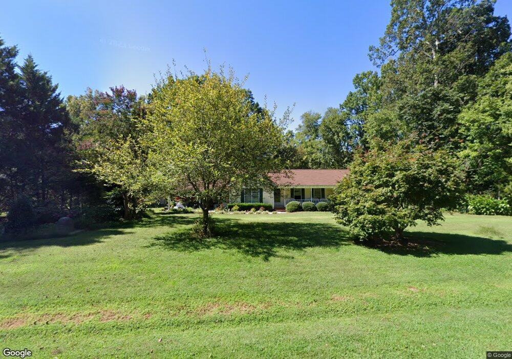
1841 Billy T Trail Mebane, NC 27302
Estimated Value: $313,806 - $336,000
3
Beds
2
Baths
1,388
Sq Ft
$231/Sq Ft
Est. Value
About This Home
This home is located at 1841 Billy T Trail, Mebane, NC 27302 and is currently estimated at $320,702, approximately $231 per square foot. 1841 Billy T Trail is a home located in Alamance County with nearby schools including Garrett Elementary School, Hawfields Middle School, and Bradford Academy.
Ownership History
Date
Name
Owned For
Owner Type
Purchase Details
Closed on
May 7, 2004
Sold by
Goss Clarence
Bought by
Brandenburg Phillip
Current Estimated Value
Home Financials for this Owner
Home Financials are based on the most recent Mortgage that was taken out on this home.
Original Mortgage
$55,000
Outstanding Balance
$25,533
Interest Rate
5.36%
Mortgage Type
New Conventional
Estimated Equity
$295,169
Purchase Details
Closed on
Feb 8, 2002
Sold by
Miskow Michael C
Bought by
Goss Clarence O
Home Financials for this Owner
Home Financials are based on the most recent Mortgage that was taken out on this home.
Original Mortgage
$137,075
Interest Rate
7.16%
Mortgage Type
FHA
Create a Home Valuation Report for This Property
The Home Valuation Report is an in-depth analysis detailing your home's value as well as a comparison with similar homes in the area
Home Values in the Area
Average Home Value in this Area
Purchase History
| Date | Buyer | Sale Price | Title Company |
|---|---|---|---|
| Brandenburg Phillip | $143,000 | -- | |
| Goss Clarence O | $138,500 | -- |
Source: Public Records
Mortgage History
| Date | Status | Borrower | Loan Amount |
|---|---|---|---|
| Open | Brandenburg Phillip | $55,000 | |
| Previous Owner | Goss Clarence O | $137,075 |
Source: Public Records
Tax History Compared to Growth
Tax History
| Year | Tax Paid | Tax Assessment Tax Assessment Total Assessment is a certain percentage of the fair market value that is determined by local assessors to be the total taxable value of land and additions on the property. | Land | Improvement |
|---|---|---|---|---|
| 2025 | $1,462 | $259,226 | $39,182 | $220,044 |
| 2024 | $1,397 | $259,226 | $39,182 | $220,044 |
| 2023 | $1,295 | $259,226 | $39,182 | $220,044 |
| 2022 | $1,123 | $149,448 | $45,690 | $103,758 |
| 2021 | $1,138 | $149,448 | $45,690 | $103,758 |
| 2020 | $1,152 | $149,448 | $45,690 | $103,758 |
| 2019 | $582 | $149,448 | $45,690 | $103,758 |
| 2018 | $0 | $149,448 | $45,690 | $103,758 |
| 2017 | $500 | $149,448 | $45,690 | $103,758 |
| 2016 | $1,062 | $158,534 | $45,690 | $112,844 |
| 2015 | $531 | $158,534 | $45,690 | $112,844 |
| 2014 | $491 | $158,534 | $45,690 | $112,844 |
Source: Public Records
Map
Nearby Homes
- 2028 Webster Grove Dr
- 1627 Old Arbor Way
- 2170 Farrell Rd
- Cali Plan at Cambridge Park
- Hayden Plan at Cambridge Park
- ABERDEEN Plan at Cambridge Park
- Penwell Plan at Cambridge Park
- Wilmington Plan at Cambridge Park
- Winston Plan at Cambridge Park
- GALEN Plan at Cambridge Park
- 1231 Adrian Ct
- 2715 Burgess Dr
- 1230 Adrian Ct
- 3015 Old Craig Trail
- 2733 Burgess Dr
- 3108 Old Craig Ct
- 2757 Burgess Dr
- 2750 Burgess Dr
- 2762 Burgess Dr
- 2781 Burgess Dr
- 1849 Billy T Trail
- 1811 Billy T Trail
- 1832 Billy T Trail
- 1814 Billy T Trail
- 1854 Billy T Trail
- 1858 Billy T Trail
- 1862 Billy T Trail
- 1900 Turner Rd
- 1936 Turner Rd
- 1945 Webster Grove Dr
- 1806 Billy T Trail
- 1935 Webster Grove Dr
- 1957 Webster Grove Dr
- 1927 Webster Grove Dr
- 1946 Turner Rd
- 1971 Webster Grove Dr
- 1924 Turner Rd
- 1917 Webster Grove Dr
- 0 Webster Grove Dr Unit 2410191
- 0 Webster Grove Dr Unit 1830370