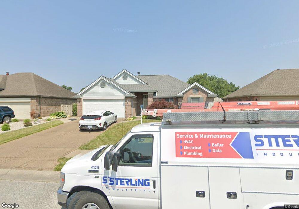
1841 Colonnade Ct Evansville, IN 47715
Estimated Value: $235,000 - $259,437
4
Beds
2
Baths
1,560
Sq Ft
$157/Sq Ft
Est. Value
About This Home
This home is located at 1841 Colonnade Ct, Evansville, IN 47715 and is currently estimated at $244,859, approximately $156 per square foot. 1841 Colonnade Ct is a home located in Vanderburgh County with nearby schools including Caze Elementary School, McGary Middle School, and William Henry Harrison High School.
Ownership History
Date
Name
Owned For
Owner Type
Purchase Details
Closed on
Oct 18, 2017
Sold by
Martin Christina Shay
Bought by
Martin Ii Frank C
Current Estimated Value
Home Financials for this Owner
Home Financials are based on the most recent Mortgage that was taken out on this home.
Original Mortgage
$82,000
Outstanding Balance
$44,695
Interest Rate
3.91%
Mortgage Type
New Conventional
Estimated Equity
$200,164
Create a Home Valuation Report for This Property
The Home Valuation Report is an in-depth analysis detailing your home's value as well as a comparison with similar homes in the area
Home Values in the Area
Average Home Value in this Area
Purchase History
| Date | Buyer | Sale Price | Title Company |
|---|---|---|---|
| Martin Ii Frank C | -- | Foreman Watson Land Title |
Source: Public Records
Mortgage History
| Date | Status | Borrower | Loan Amount |
|---|---|---|---|
| Open | Martin Ii Frank C | $82,000 |
Source: Public Records
Tax History Compared to Growth
Tax History
| Year | Tax Paid | Tax Assessment Tax Assessment Total Assessment is a certain percentage of the fair market value that is determined by local assessors to be the total taxable value of land and additions on the property. | Land | Improvement |
|---|---|---|---|---|
| 2024 | $2,233 | $220,700 | $19,000 | $201,700 |
| 2023 | $2,146 | $218,700 | $19,000 | $199,700 |
| 2022 | $2,027 | $198,100 | $19,000 | $179,100 |
| 2021 | $1,535 | $153,800 | $19,000 | $134,800 |
| 2020 | $1,477 | $153,800 | $19,000 | $134,800 |
| 2019 | $1,215 | $135,100 | $19,000 | $116,100 |
| 2018 | $1,247 | $138,200 | $19,000 | $119,200 |
| 2017 | $1,197 | $135,600 | $19,000 | $116,600 |
| 2016 | $966 | $120,900 | $19,000 | $101,900 |
| 2014 | $917 | $118,000 | $19,000 | $99,000 |
| 2013 | -- | $118,600 | $19,000 | $99,600 |
Source: Public Records
Map
Nearby Homes
- 1835 Greencastle Dr
- 1703 Greencastle Dr
- 1719 Seasons Ridge Blvd
- 1528 Victoria Green Blvd
- 1512 Victoria Green Blvd
- 5107 Helmuth Ave
- 1517 Glen Eden Ln
- 5024 Graham Ave
- 1701 Glenmoor Rd
- 5809 Green Meadow Rd
- 5524 Jackson Ct
- 2416 Harbour Town Ct
- 6215 Calloway Dr
- 1907 S Green River Rd
- 6500 Saint Andrews Dr
- 5613 Jefferson Ave
- 1100 Erie #802 Ave
- 4839 Paddock Dr
- 4903 Stables Dr
- 1200 S Burkhardt Rd
- 1837 Colonnade Ct
- 1845 Colonnade Ct
- 1831 Colonnade Ct
- 5700 Lincoln Pointe Blvd
- 1838 Colonnade Ct
- 1829 Colonnade Ct
- 5600 Cherokee Dr
- 1832 Colonnade Ct
- 5601 Lincoln Pointe Blvd
- 5708 Lincoln Pointe Blvd
- 5621 Lincoln Pointe Blvd
- 5631 Lincoln Pointe Blvd
- 5707 Crossfield Dr
- 1828 Colonnade Ct
- 5641 Lincoln Pointe Blvd
- 5717 Crossfield Dr
- 5645 Shawnee Cir
- 5727 Crossfield Dr
- 5701 Lincoln Pointe Blvd
- 5345 Kiowa Cir