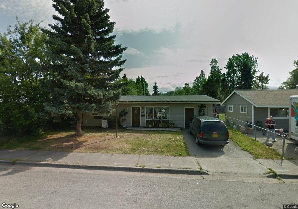
1841 Kuskokwim St Anchorage, AK 99508
Airport Heights NeighborhoodEstimated Value: $173,000 - $309,608
2
Beds
1
Bath
1,012
Sq Ft
$238/Sq Ft
Est. Value
About This Home
This home is located at 1841 Kuskokwim St, Anchorage, AK 99508 and is currently estimated at $240,652, approximately $237 per square foot. 1841 Kuskokwim St is a home located in Anchorage Municipality with nearby schools including Airport Heights Elementary School, Wendler Middle School, and Bettye Davis East Anchorage High School.
Ownership History
Date
Name
Owned For
Owner Type
Purchase Details
Closed on
Mar 19, 2024
Sold by
Roberts Harold Franklin and Caulkins Donald L
Bought by
Caulkins Misty B and Caulkins Shelly L
Current Estimated Value
Home Financials for this Owner
Home Financials are based on the most recent Mortgage that was taken out on this home.
Original Mortgage
$207,931
Outstanding Balance
$204,669
Interest Rate
6.94%
Mortgage Type
New Conventional
Estimated Equity
$35,983
Create a Home Valuation Report for This Property
The Home Valuation Report is an in-depth analysis detailing your home's value as well as a comparison with similar homes in the area
Home Values in the Area
Average Home Value in this Area
Purchase History
| Date | Buyer | Sale Price | Title Company |
|---|---|---|---|
| Caulkins Misty B | -- | None Listed On Document |
Source: Public Records
Mortgage History
| Date | Status | Borrower | Loan Amount |
|---|---|---|---|
| Open | Caulkins Misty B | $207,931 |
Source: Public Records
Tax History Compared to Growth
Tax History
| Year | Tax Paid | Tax Assessment Tax Assessment Total Assessment is a certain percentage of the fair market value that is determined by local assessors to be the total taxable value of land and additions on the property. | Land | Improvement |
|---|---|---|---|---|
| 2025 | $4,303 | $281,100 | $94,000 | $187,100 |
| 2024 | $4,303 | $266,500 | $94,000 | $172,500 |
| 2023 | $4,369 | $242,400 | $94,000 | $148,400 |
| 2022 | $4,099 | $243,400 | $94,000 | $149,400 |
| 2021 | $3,982 | $221,000 | $94,000 | $127,000 |
| 2020 | $451 | $222,100 | $94,000 | $128,100 |
| 2019 | $403 | $218,300 | $94,000 | $124,300 |
| 2018 | $404 | $218,300 | $94,000 | $124,300 |
| 2017 | $788 | $220,300 | $94,000 | $126,300 |
| 2016 | $464 | $209,000 | $80,700 | $128,300 |
| 2015 | $464 | $204,700 | $80,700 | $124,000 |
| 2014 | $464 | $202,900 | $76,700 | $126,200 |
Source: Public Records
Map
Nearby Homes
- 1701 Aleutian St
- 1811 Talkeetna St
- 2215 Sunburst Cir
- 1760 Eastridge Dr
- 000 Tr A Thurston
- 1414 Airport Heights Dr
- 1833 Parkside Dr
- 2068 Cliffside Dr Unit 11
- 2553 Lovejoy Dr
- 1625 Sitka St Unit 103
- 1803 Parkside Dr
- 1430 Columbine St
- 3401 E 15th Ave
- 2624 Darby Cir
- 2124 Sorbus Way
- 2028 Shepherdia Dr
- 1826 E 27th Ave
- 3964 Reka Dr Unit D3
- 1421 E 17th Ave Unit 3
- 4075 E 20th Ave Unit B44
- 1831 Kuskokwim St
- 1851 Kuskokwim St
- 1840 Alder Dr
- 1821 Kuskokwim St
- 1903 Kuskokwim St
- 1830 Alder Dr
- 1850 Alder Dr
- 1840 Kuskokwim St
- 1820 Alder Dr
- 1902 Alder Dr
- 1830 Kuskokwim St
- 1850 Kuskokwim St
- 1811 Kuskokwim St
- 1911 Kuskokwim St
- 1820 Kuskokwim St
- 1902 Kuskokwim St
- 1812 Alder Dr
- 1912 Alder Dr
- 1812 Kuskokwim St
- 1912 Kuskokwim St