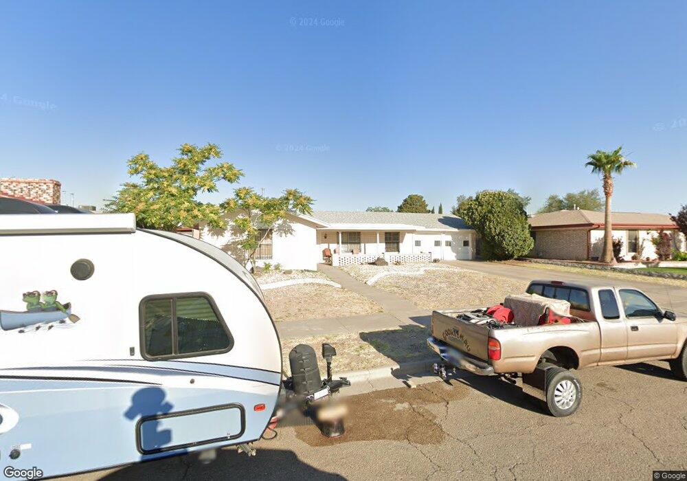
1841 Mike Hill Dr El Paso, TX 79936
Vista Del Sol NeighborhoodEstimated Value: $231,459 - $256,000
3
Beds
2
Baths
1,758
Sq Ft
$141/Sq Ft
Est. Value
About This Home
This home is located at 1841 Mike Hill Dr, El Paso, TX 79936 and is currently estimated at $247,115, approximately $140 per square foot. 1841 Mike Hill Dr is a home located in El Paso County with nearby schools including Tierra Del Sol Elementary School, J M Hanks High School, and EL PASO LEADERSHIP ACADEMY - MIDDLE EAST.
Ownership History
Date
Name
Owned For
Owner Type
Purchase Details
Closed on
Aug 7, 2023
Sold by
Muela Cano Pearl
Bought by
Kp Rentals Llc-1841Mh Drive Protected Series
Current Estimated Value
Purchase Details
Closed on
Aug 3, 2022
Sold by
Ayala German A and Ayala Krystal Narah
Bought by
Kp Rentals Llc-1841Mh Drive Protected Series
Purchase Details
Closed on
Aug 30, 2004
Sold by
Ayala German A
Bought by
Cano Pearl
Create a Home Valuation Report for This Property
The Home Valuation Report is an in-depth analysis detailing your home's value as well as a comparison with similar homes in the area
Home Values in the Area
Average Home Value in this Area
Purchase History
| Date | Buyer | Sale Price | Title Company |
|---|---|---|---|
| Kp Rentals Llc-1841Mh Drive Protected Series | -- | Accommodation/Courtesy Recordi | |
| Kp Rentals Llc-1841Mh Drive Protected Series | -- | Accommodation/Courtesy Recordi | |
| Cano Pearl | -- | -- |
Source: Public Records
Tax History Compared to Growth
Tax History
| Year | Tax Paid | Tax Assessment Tax Assessment Total Assessment is a certain percentage of the fair market value that is determined by local assessors to be the total taxable value of land and additions on the property. | Land | Improvement |
|---|---|---|---|---|
| 2025 | $5,273 | $228,000 | $44,640 | $183,360 |
| 2024 | $5,273 | $192,000 | $25,581 | $166,419 |
| 2023 | $5,273 | $192,000 | $25,581 | $166,419 |
| 2022 | $4,582 | $147,564 | $30,451 | $117,113 |
| 2021 | $4,797 | $147,564 | $30,451 | $117,113 |
| 2020 | $4,738 | $150,000 | $27,640 | $122,360 |
| 2018 | $4,198 | $135,000 | $27,640 | $107,360 |
| 2017 | $4,127 | $135,000 | $27,640 | $107,360 |
| 2016 | $4,035 | $132,019 | $27,640 | $104,379 |
| 2015 | $3,832 | $132,019 | $27,640 | $104,379 |
| 2014 | $3,832 | $133,921 | $27,640 | $106,281 |
Source: Public Records
Map
Nearby Homes
- 1817 Hugh Royer Place
- 1868 Tom Bolt Dr
- 1901 Bobby Jones Dr
- 2001 Bobby Jones Dr Unit A
- 1913 Seagull Dr
- 2009 Bobby Jones Dr Unit B
- 11016 Bob Stone Dr
- 11012 Bob Stone Dr
- 11013 Bob Stone Dr
- 1804 Jerry Abbott St
- 1739 Jerry Abbott St
- 11204 Bob Mitchell Dr
- 1844 Jack Nicklaus Dr Unit 1846
- 2604 Anise Dr
- 1703 Robert Wynn St
- 11157 Leo Collins Dr
- 2308 Tom Watson Ct
- 11008 Johnny Miller Dr
- 1617 Tommy Aaron Dr
- 1700 Jerry Abbott St
- 1841 Mike Hill Dr Unit 1
- 1845 Mike Hill Dr
- 1837 Mike Hill Dr
- 1836 Pete Brown Dr
- 1840 Pete Brown Dr
- 1849 Mike Hill Dr
- 1832 Pete Brown Dr
- 1840 Mike Hill Dr
- 1844 Pete Brown Dr
- 1836 Mike Hill Dr
- 1833 Mike Hill Dr
- 1844 Mike Hill Dr
- 1828 Pete Brown Place
- 1853 Mike Hill Dr
- 1828 Pete Brown Dr
- 1848 Pete Brown Dr
- 1832 Mike Hill Dr
- 1848 Mike Hill Dr
- 1831 Mike Hill Dr
- 1837 Pete Brown Place