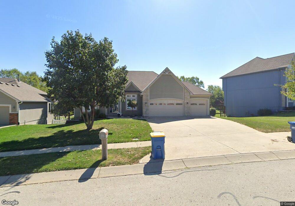
1841 Parkside Dr Liberty, MO 64068
Estimated Value: $415,000 - $476,000
2
Beds
3
Baths
1,847
Sq Ft
$241/Sq Ft
Est. Value
About This Home
This home is located at 1841 Parkside Dr, Liberty, MO 64068 and is currently estimated at $445,894, approximately $241 per square foot. 1841 Parkside Dr is a home located in Clay County with nearby schools including Alexander Doniphan Elementary School, Liberty Middle School, and Liberty High School.
Ownership History
Date
Name
Owned For
Owner Type
Purchase Details
Closed on
Aug 12, 2002
Sold by
John Shilt Homes Inc
Bought by
Williams Julian Martin and Williams Brenna P
Current Estimated Value
Home Financials for this Owner
Home Financials are based on the most recent Mortgage that was taken out on this home.
Original Mortgage
$179,250
Outstanding Balance
$75,741
Interest Rate
6.53%
Estimated Equity
$370,153
Purchase Details
Closed on
Mar 27, 2002
Sold by
South Liberty Development Llc
Bought by
John Shilt Homes Inc
Home Financials for this Owner
Home Financials are based on the most recent Mortgage that was taken out on this home.
Original Mortgage
$228,800
Interest Rate
6.78%
Mortgage Type
Construction
Create a Home Valuation Report for This Property
The Home Valuation Report is an in-depth analysis detailing your home's value as well as a comparison with similar homes in the area
Home Values in the Area
Average Home Value in this Area
Purchase History
| Date | Buyer | Sale Price | Title Company |
|---|---|---|---|
| Williams Julian Martin | -- | United Title Company Inc | |
| John Shilt Homes Inc | -- | United Title Company |
Source: Public Records
Mortgage History
| Date | Status | Borrower | Loan Amount |
|---|---|---|---|
| Open | Williams Julian Martin | $179,250 | |
| Previous Owner | John Shilt Homes Inc | $228,800 |
Source: Public Records
Tax History Compared to Growth
Tax History
| Year | Tax Paid | Tax Assessment Tax Assessment Total Assessment is a certain percentage of the fair market value that is determined by local assessors to be the total taxable value of land and additions on the property. | Land | Improvement |
|---|---|---|---|---|
| 2025 | $5,446 | $72,280 | -- | -- |
| 2024 | $5,446 | $70,810 | -- | -- |
| 2023 | $5,538 | $70,810 | $0 | $0 |
| 2022 | $4,741 | $59,850 | $0 | $0 |
| 2021 | $4,704 | $59,850 | $7,980 | $51,870 |
| 2020 | $4,647 | $55,520 | $0 | $0 |
| 2019 | $4,646 | $55,520 | $0 | $0 |
| 2018 | $4,556 | $53,450 | $0 | $0 |
| 2017 | $4,355 | $53,450 | $6,650 | $46,800 |
| 2016 | $4,355 | $51,570 | $6,650 | $44,920 |
| 2015 | $4,355 | $51,570 | $6,650 | $44,920 |
| 2014 | $4,236 | $49,760 | $7,220 | $42,540 |
Source: Public Records
Map
Nearby Homes
- 1841 Vintage Ln
- 1845 Arbor Trail
- 1991 Harvest Rd
- 1852 Vintage Ln
- 1836 Green Meadow Dr
- 1912 Longview Dr
- 1985 Longview Dr
- 1916 Longview Dr
- 1989 Longview Dr
- 1975 Harvest Rd
- 1979 Harvest Rd
- 1971 Harvest Rd
- 1856 Arbor Trail
- 2188 Heritage Ct
- 1205 Blackberry Dr
- McKinley Plan at Homestead of Liberty - Homestead
- Monroe Plan at Homestead of Liberty - Homestead
- Chestnut Plan at Homestead of Liberty - Homestead
- The Brooklyn Plan at Homestead of Liberty - Homestead
- Cypress Plan at Homestead of Liberty - Homestead
- 1837 Parkside Dr
- 1845 Parkside Dr
- 1851 Buckingham Dr
- 1833 Parkside Dr
- 1834 Surrey St
- 1830 Surrey St
- 1838 Parkside Dr
- 1834 Parkside Dr
- 1841 Buckingham Dr
- 1838 Surrey St
- 1844 Surrey St
- 1829 Parkside Dr
- 1826 Surrey St
- 1901 Parkside Dr
- 1830 Parkside Dr
- 1902 Surrey St
- 1826 Parkside Dr
- 1837 Buckingham Dr
- 1900 Parkside Dr
- 1909 Parkside Dr