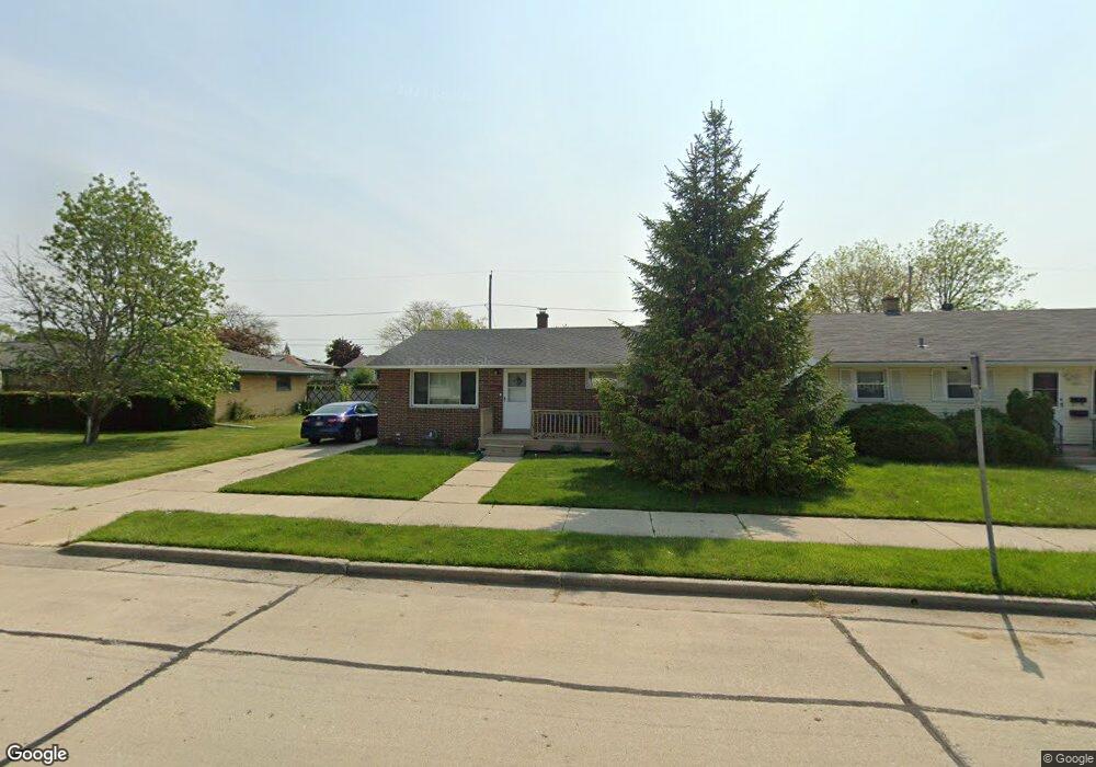
1841 Polaris Ave Racine, WI 53404
Wustum Park NeighborhoodEstimated Value: $183,000 - $234,000
3
Beds
1
Bath
1,015
Sq Ft
$208/Sq Ft
Est. Value
About This Home
This home is located at 1841 Polaris Ave, Racine, WI 53404 and is currently estimated at $211,097, approximately $207 per square foot. 1841 Polaris Ave is a home located in Racine County with nearby schools including Wadewitz Elementary School, Jerstad-Agerholm Middle School, and Horlick High School.
Ownership History
Date
Name
Owned For
Owner Type
Purchase Details
Closed on
Jan 31, 2008
Sold by
Maranger Jeffrey E and Maranger Pamela J
Bought by
Lampark Margaret E
Current Estimated Value
Home Financials for this Owner
Home Financials are based on the most recent Mortgage that was taken out on this home.
Original Mortgage
$126,514
Outstanding Balance
$80,010
Interest Rate
6.11%
Mortgage Type
FHA
Estimated Equity
$131,087
Create a Home Valuation Report for This Property
The Home Valuation Report is an in-depth analysis detailing your home's value as well as a comparison with similar homes in the area
Home Values in the Area
Average Home Value in this Area
Purchase History
| Date | Buyer | Sale Price | Title Company |
|---|---|---|---|
| Lampark Margaret E | $128,500 | -- |
Source: Public Records
Mortgage History
| Date | Status | Borrower | Loan Amount |
|---|---|---|---|
| Open | Lampark Margaret E | $126,514 |
Source: Public Records
Tax History Compared to Growth
Tax History
| Year | Tax Paid | Tax Assessment Tax Assessment Total Assessment is a certain percentage of the fair market value that is determined by local assessors to be the total taxable value of land and additions on the property. | Land | Improvement |
|---|---|---|---|---|
| 2024 | $3,786 | $165,100 | $17,400 | $147,700 |
| 2023 | $4,602 | $147,000 | $17,400 | $129,600 |
| 2022 | $4,374 | $134,000 | $17,400 | $116,600 |
| 2021 | $3,269 | $122,000 | $17,400 | $104,600 |
| 2020 | $3,893 | $122,000 | $17,400 | $104,600 |
| 2019 | $3,536 | $114,000 | $17,400 | $96,600 |
| 2018 | $2,944 | $99,000 | $17,400 | $81,600 |
| 2017 | $2,940 | $99,000 | $17,400 | $81,600 |
| 2016 | $2,847 | $94,000 | $17,400 | $76,600 |
| 2015 | $2,767 | $89,000 | $17,400 | $71,600 |
| 2014 | $2,767 | $89,000 | $17,400 | $71,600 |
| 2013 | $2,767 | $95,000 | $21,500 | $73,500 |
Source: Public Records
Map
Nearby Homes
- 2009 Rapids Dr
- 1708 Shoop St
- 2100 Carlisle Ave
- 1818 Neptune Ave
- 1626 Rapids Dr
- 2300 Rapids Dr
- 2210 Rapids Dr
- 2123 Carlisle Ave
- 2701 Rapids Dr
- 2400 Romayne Ave
- 2402 Eaton Ln
- 2525 Diane Ave
- 2525 Donna Ave
- 1322 Summit Ave
- 1406 Blake Ave
- 2600 W High St
- 2915 Romayne Ave
- 1228 English St
- 1616 Dr Martin Luther King Dr
- 1337 Kewaunee St
- 1835 Polaris Ave
- 1901 Polaris Ave
- 1840 Mount Pleasant St
- 2116 English St
- 1834 Mount Pleasant St
- 1900 Mount Pleasant St
- 2100 English St
- 1911 Polaris Ave
- 1904 Mount Pleasant St
- 1840 Polaris Ave
- 1900 Polaris Ave
- 1834 Polaris Ave
- 1904 Polaris Ave
- 1830 Polaris Ave
- 1910 Mount Pleasant St
- 1917 Polaris Ave
- 1821 Polaris Ave
- 1910 Polaris Ave
- 2101 English St
- 1921 Polaris Ave