1841 Rim Rd Lakeside, AZ 85929
Estimated Value: $897,544 - $1,342,000
--
Bed
--
Bath
2,866
Sq Ft
$404/Sq Ft
Est. Value
About This Home
This home is located at 1841 Rim Rd, Lakeside, AZ 85929 and is currently estimated at $1,157,886, approximately $404 per square foot. 1841 Rim Rd is a home located in Navajo County with nearby schools including Blue Ridge Elementary School, Blue Ridge Middle School, and Blue Ridge Junior High School.
Ownership History
Date
Name
Owned For
Owner Type
Purchase Details
Closed on
Jul 10, 2013
Sold by
Rawlings William A and Rawlings Trudy L
Bought by
Lesueur Jeffrey R and Lesueur Erika
Current Estimated Value
Home Financials for this Owner
Home Financials are based on the most recent Mortgage that was taken out on this home.
Original Mortgage
$380,000
Outstanding Balance
$283,080
Interest Rate
4.51%
Mortgage Type
New Conventional
Estimated Equity
$874,806
Create a Home Valuation Report for This Property
The Home Valuation Report is an in-depth analysis detailing your home's value as well as a comparison with similar homes in the area
Home Values in the Area
Average Home Value in this Area
Purchase History
| Date | Buyer | Sale Price | Title Company |
|---|---|---|---|
| Lesueur Jeffrey R | $475,000 | Lawyers Title Of Arizona Inc |
Source: Public Records
Mortgage History
| Date | Status | Borrower | Loan Amount |
|---|---|---|---|
| Open | Lesueur Jeffrey R | $380,000 |
Source: Public Records
Tax History Compared to Growth
Tax History
| Year | Tax Paid | Tax Assessment Tax Assessment Total Assessment is a certain percentage of the fair market value that is determined by local assessors to be the total taxable value of land and additions on the property. | Land | Improvement |
|---|---|---|---|---|
| 2026 | $4,592 | -- | -- | -- |
| 2025 | $4,380 | $83,821 | $14,739 | $69,082 |
| 2024 | $3,948 | $86,215 | $14,739 | $71,476 |
| 2023 | $4,380 | $68,622 | $13,782 | $54,840 |
| 2022 | $3,948 | $0 | $0 | $0 |
| 2021 | $4,350 | $0 | $0 | $0 |
| 2020 | $4,164 | $0 | $0 | $0 |
| 2019 | $4,177 | $0 | $0 | $0 |
| 2018 | $4,013 | $0 | $0 | $0 |
| 2017 | $3,830 | $0 | $0 | $0 |
| 2016 | $3,349 | $0 | $0 | $0 |
| 2015 | $3,175 | $28,465 | $8,629 | $19,837 |
Source: Public Records
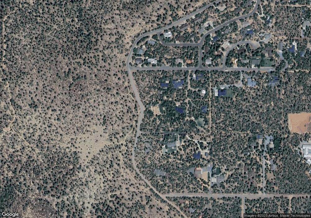
Map
Nearby Homes
- 4956 Blue Spruce Ln
- 4977 Apache Way
- 2332 Hall Dr
- 5036 High Dr
- 4641 Pioneer Ln
- 5606 High Dr
- 2832 View Way
- 1404 Hand Cart Trail
- 040E Vallery Ln
- 040D Vallery Ln
- 040C Vallery Ln
- 4061 Pioneer Ln
- 1400 Ox Bow Dr
- 3729 Parkway
- 1912 West Pkwy
- 3784 Hilltop Dr
- 4343 Vallery Ln
- 926 Turkey Trail
- 3722 Pioneer Ln
- 3439 Bear Mountain Dr
- 1940 Royal Pine Dr
- 5341 Mogollon Rim Dr
- 5290 Mogollon Rim Dr
- 5301 Mogollon Rim Dr
- 1777 Rim Rd
- 1949 Royal Pine Dr
- 1943 Royal Pine Dr
- 5430 Mogollon Rim Dr
- 5332 Mogollon Rim Dr
- 5408 Mogollon Rim Dr
- 1810 Rim Rd
- 5251 Mogollon Rim Dr
- 5276 Mogollon Rim Dr
- 1791 Rim Rd
- 5335 Live Oak Dr
- 2061 W Rim Rd
- 2061 Rim Rd
- 0 Live Oak Dr
- 1661 Rim Rd
- 5283 Live Oak Dr