1841 Robbins Rd Franklin Grove, IL 61031
North Dixon NeighborhoodEstimated payment $10,438/month
About This Lot
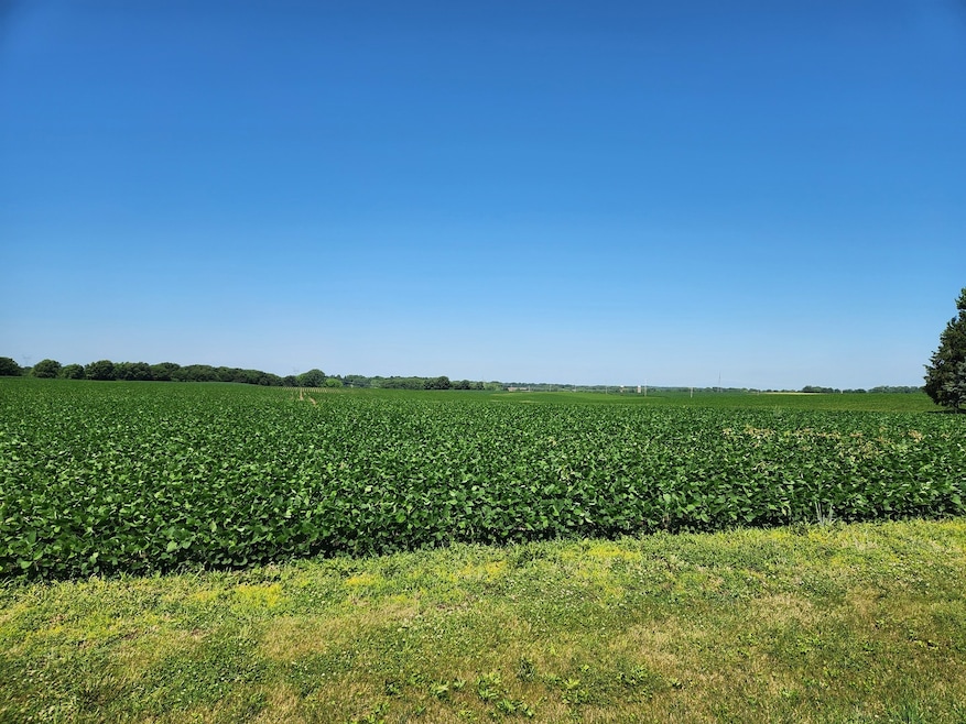
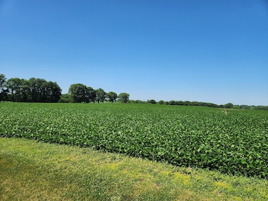
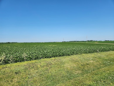
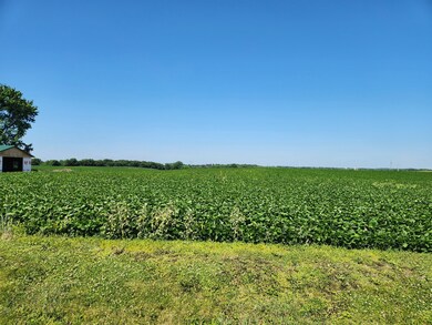
Tax Parcels: 14-03-32-300-003 - $2392.26/14-03-32-100-001 - $2787.34/14-03-32-300-005 - $2124.90. 159 acres of good Farmland with approximately 151 acres of tillable land, 4.5 acres are wooded in the South West corner P.I. of 119.7 on the tillable acres. Farm is leased through 2026.
Property Details
Property Type
- Land
Est. Annual Taxes
- $7,304
Lot Details
- 159 Acre Lot
- Lot Dimensions are 1166x2640x3960x1320x2640x1320
- Additional Parcels
- Property is zoned AGRIC
Farming
- Farm
Map
Home Values in the Area
Average Home Value in this Area
Property History
| Date | Event | Price | List to Sale | Price per Sq Ft |
|---|---|---|---|---|
| 06/19/2025 06/19/25 | For Sale | $1,908,000 | -- | -- |
Source: Midwest Real Estate Data (MRED)
MLS Number: 12397421
Disclaimer: Certain information contained herein is derived from information provided by parties other than Homes.com. All information provided is deemed reliable, but is not guaranteed to be accurate and should be independently verified.
![]() Based on information submitted to the MLS GRID. All data is obtained from various sources and may not have been verified by broker or MLS GRID. Supplied Open House Information is subject to change without notice. All information should be independently reviewed and verified for accuracy. Properties may or may not be listed by the office/agent presenting the information. Some IDX listings have been excluded from this website.
Based on information submitted to the MLS GRID. All data is obtained from various sources and may not have been verified by broker or MLS GRID. Supplied Open House Information is subject to change without notice. All information should be independently reviewed and verified for accuracy. Properties may or may not be listed by the office/agent presenting the information. Some IDX listings have been excluded from this website.
Based on information submitted to the MLS GRID
- 1735 Nachusa Rd
- 1479 Old Mill Rd
- 113 N Spring St
- 409 N State St
- 1309 Trail Dr
- 1308 Trail Dr
- 379 Woodside Place
- 181 Deer Chase
- Lot 41 Great Oaks Way
- 500 Countryside Ln
- 300 Fieldstone Ln
- 208 Flambeau Ln
- 7961 S Tampam Dr
- 110 Flambeau Ln
- 209 Fox Trot Unit D
- 320 Vermillion Ln
- 1013 Idlewild Dr
- 860 Franklin Grove Rd
- 214 Park Dr
- 1122 Walnut Ave
- 912 Chicago Ave
- 1105 Mary Ave
- 624 Marclare St
- 1231 N Galena Ave Unit 200
- 1231 N Galena Ave Unit 215
- 2403 E 19th St
- 2100 Freeport Rd
- 1302 Luke Ln
- 400 Willis Ave
- 800 Avenue B Unit 1
- 309 N 9th St
- 1212 1st Ave
- 351 Chicago Rd
- 205 Sandra Ave
- 305 Holcomb Ave
- 108 S 3rd Ave Unit 1
- 1031 Misty Landing Ct
- 105 W Railroad St

Ask me questions while you tour the home.