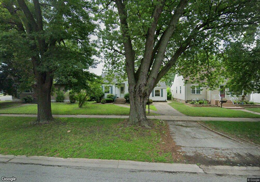
18413 Burnham Ave Lansing, IL 60438
Estimated Value: $184,000 - $278,000
3
Beds
1
Bath
1,140
Sq Ft
$198/Sq Ft
Est. Value
About This Home
This home is located at 18413 Burnham Ave, Lansing, IL 60438 and is currently estimated at $225,896, approximately $198 per square foot. 18413 Burnham Ave is a home located in Cook County with nearby schools including Coolidge Elementary School, Memorial Jr High School, and Thornton Fractnl So High School.
Ownership History
Date
Name
Owned For
Owner Type
Purchase Details
Closed on
Apr 15, 2025
Sold by
Szuba Patrick J and Edwards Michael J
Bought by
Carter Demetrius
Current Estimated Value
Home Financials for this Owner
Home Financials are based on the most recent Mortgage that was taken out on this home.
Original Mortgage
$267,000
Outstanding Balance
$265,124
Interest Rate
6.75%
Mortgage Type
VA
Estimated Equity
-$39,228
Purchase Details
Closed on
Oct 30, 2024
Sold by
Reilly Susan L and Godinez Nicole
Bought by
Szuba Patrick J and Edwards Michael J
Create a Home Valuation Report for This Property
The Home Valuation Report is an in-depth analysis detailing your home's value as well as a comparison with similar homes in the area
Home Values in the Area
Average Home Value in this Area
Purchase History
| Date | Buyer | Sale Price | Title Company |
|---|---|---|---|
| Carter Demetrius | $267,000 | None Listed On Document | |
| Szuba Patrick J | $151,000 | None Listed On Document | |
| Szuba Patrick J | $151,000 | None Listed On Document |
Source: Public Records
Mortgage History
| Date | Status | Borrower | Loan Amount |
|---|---|---|---|
| Open | Carter Demetrius | $267,000 |
Source: Public Records
Tax History
| Year | Tax Paid | Tax Assessment Tax Assessment Total Assessment is a certain percentage of the fair market value that is determined by local assessors to be the total taxable value of land and additions on the property. | Land | Improvement |
|---|---|---|---|---|
| 2025 | $3,068 | $8,000 | $1,719 | $6,281 |
| 2024 | $3,068 | $8,000 | $1,719 | $6,281 |
| 2023 | $2,074 | $8,000 | $1,719 | $6,281 |
| 2022 | $2,074 | $4,902 | $1,484 | $3,418 |
| 2021 | $2,046 | $4,902 | $1,484 | $3,418 |
| 2020 | $1,966 | $4,902 | $1,484 | $3,418 |
| 2019 | $2,203 | $5,584 | $1,250 | $4,334 |
| 2018 | $2,160 | $5,584 | $1,250 | $4,334 |
| 2017 | $2,198 | $5,584 | $1,250 | $4,334 |
| 2016 | $2,188 | $5,250 | $1,171 | $4,079 |
| 2015 | $2,001 | $5,250 | $1,171 | $4,079 |
| 2014 | $1,987 | $5,250 | $1,171 | $4,079 |
| 2013 | $2,069 | $5,910 | $1,171 | $4,739 |
Source: Public Records
Map
Nearby Homes
- 18315 Burnham Ave Unit 204
- 18324 Roy St
- 3316 Ann St
- 3310 186th St
- 18275 Ada St
- 18301 Chicago Ave
- 3225 Otto St
- 18316 Sherman St
- 18514 Ridgewood Ave
- 19510 Burnham Ave
- 18504 Wentworth Ave
- 18634 Bernadine St
- 18747 Sherman St
- 2914 Ridge Rd
- 18405 Wentworth Ave Unit 1D
- 18828 Greenbay Ave
- 18215 Wentworth Ave Unit 3B
- 18019 Lorenz Ave
- 3640 186th St Unit 101
- 3620 186th St Unit 405
- 18409 Burnham Ave
- 18417 Burnham Ave
- 18417 Burnham Ave
- 18401 Burnham Ave
- 18421 Burnham Ave
- 3217 Ann St
- 18425 Burnham Ave
- 18425 Burnham Ave
- 18416 Walter St
- 3221 Ann St
- 18418 Walter St
- 18433 Burnham Ave
- 18433 Burnham Ave
- 18424 Walter St
- 3227 Ann St
- 18345 Burnham Ave
- 18345 Burnham Ave
- 18428 Walter St
- 18441 Burnham Ave
- 18441 Burnham Ave
Your Personal Tour Guide
Ask me questions while you tour the home.