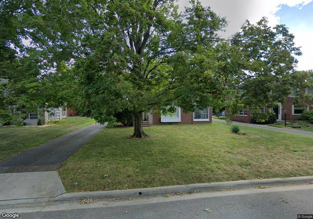
1842 Ashland Ave Columbus, OH 43212
Estimated Value: $586,000 - $835,493
4
Beds
2
Baths
2,712
Sq Ft
$250/Sq Ft
Est. Value
About This Home
This home is located at 1842 Ashland Ave, Columbus, OH 43212 and is currently estimated at $676,873, approximately $249 per square foot. 1842 Ashland Ave is a home located in Franklin County with nearby schools including Barrington Road Elementary School, Jones Middle School, and Upper Arlington High School.
Ownership History
Date
Name
Owned For
Owner Type
Purchase Details
Closed on
Aug 18, 2006
Sold by
Abbruzzese Scott and Abbruzzese Linda
Bought by
Zemo Michael R
Current Estimated Value
Home Financials for this Owner
Home Financials are based on the most recent Mortgage that was taken out on this home.
Original Mortgage
$212,000
Outstanding Balance
$127,420
Interest Rate
6.78%
Mortgage Type
Purchase Money Mortgage
Estimated Equity
$549,453
Purchase Details
Closed on
Sep 25, 2001
Sold by
Frank Norma J
Bought by
Abbruzzese Scott and Abbruzzese Linda
Home Financials for this Owner
Home Financials are based on the most recent Mortgage that was taken out on this home.
Original Mortgage
$161,820
Interest Rate
6.97%
Purchase Details
Closed on
Feb 27, 1986
Bought by
Pavone Della M
Purchase Details
Closed on
Jun 1, 1979
Create a Home Valuation Report for This Property
The Home Valuation Report is an in-depth analysis detailing your home's value as well as a comparison with similar homes in the area
Home Values in the Area
Average Home Value in this Area
Purchase History
| Date | Buyer | Sale Price | Title Company |
|---|---|---|---|
| Zemo Michael R | $265,000 | Talon Group | |
| Abbruzzese Scott | $202,300 | -- | |
| Pavone Della M | -- | -- | |
| -- | $70,000 | -- |
Source: Public Records
Mortgage History
| Date | Status | Borrower | Loan Amount |
|---|---|---|---|
| Open | Zemo Michael R | $212,000 | |
| Previous Owner | Abbruzzese Scott | $161,820 |
Source: Public Records
Tax History Compared to Growth
Tax History
| Year | Tax Paid | Tax Assessment Tax Assessment Total Assessment is a certain percentage of the fair market value that is determined by local assessors to be the total taxable value of land and additions on the property. | Land | Improvement |
|---|---|---|---|---|
| 2024 | $13,820 | $236,430 | $133,560 | $102,870 |
| 2023 | $13,650 | $236,425 | $133,560 | $102,865 |
| 2022 | $9,261 | $131,250 | $40,810 | $90,440 |
| 2021 | $8,211 | $131,250 | $40,810 | $90,440 |
| 2020 | $8,139 | $131,250 | $40,810 | $90,440 |
| 2019 | $8,176 | $116,170 | $40,810 | $75,360 |
| 2018 | $7,268 | $116,170 | $40,810 | $75,360 |
| 2017 | $7,263 | $116,170 | $40,810 | $75,360 |
| 2016 | $6,438 | $96,080 | $34,790 | $61,290 |
| 2015 | $6,433 | $96,080 | $34,790 | $61,290 |
| 2014 | $6,440 | $96,080 | $34,790 | $61,290 |
| 2013 | $3,075 | $87,325 | $31,605 | $55,720 |
Source: Public Records
Map
Nearby Homes
- 1825 Northwest Ct Unit D
- 1733 Elmwood Ave
- 1398 Lower Green Cir Unit 1398
- 1661 Ashland Ave Unit 663
- 1655-1657 Ashland Ave
- 2110 Northwest Blvd
- 1364 W 7th Ave
- 1561 Glenn Ave
- 00 W 7th Ave
- 1535 Doone Rd
- 1459 Elmwood Ave Unit 1459
- 1565 Berkshire Rd
- 2015 W 5th Ave Unit 211
- 2015 W 5th Ave Unit 102
- 2015 W 5th Ave Unit 108
- 1126 King Ave Unit 128
- 1475 W 3rd Ave Unit 204
- 1631 Roxbury Rd Unit A1
- 1631 Roxbury Rd Unit F3
- 1631 Roxbury Rd Unit B6
- 1834 Ashland Ave
- 1850 Ashland Ave Unit 852
- 1826 Ashland Ave
- 1841 North Star Rd
- 1839 North Star Rd Unit 1839
- 1839 N Star Rd
- 1843 North Star Rd
- 1841 N Star Rd
- 1845 Ashland Ave
- 1827 N Star Rd
- 1845 N Star Rd
- 1843 N Star Rd
- 1837 Ashland Ave
- 1845 North Star Rd
- 1853 Ashland Ave
- 1815 N Star Rd Unit 821
- 1851 N Star Rd
- 1851 N Star Rd Unit 857
- 1829 Ashland Ave
- 1817 N Star Rd