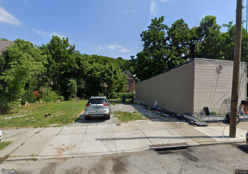
1842 Baltimore Ave Cincinnati, OH 45225
North Fairmount NeighborhoodEstimated Value: $57,484 - $81,000
2
Beds
1
Bath
736
Sq Ft
$90/Sq Ft
Est. Value
About This Home
This home is located at 1842 Baltimore Ave, Cincinnati, OH 45225 and is currently estimated at $66,371, approximately $90 per square foot. 1842 Baltimore Ave is a home located in Hamilton County with nearby schools including Ethel M. Taylor Academy, Robert A. Taft Information Technology High School, and Western Hills High School.
Ownership History
Date
Name
Owned For
Owner Type
Purchase Details
Closed on
Sep 29, 2022
Sold by
Cholak Barry and Cholak Rodney A
Bought by
Hill Lawrence E
Current Estimated Value
Purchase Details
Closed on
Oct 17, 2003
Sold by
Chapman Joshua A and Chapman Amanda
Bought by
Cholak Barry and Ewing Rodney A
Purchase Details
Closed on
Jan 16, 2000
Sold by
Chapman Gregory A
Bought by
Chapman Joshua A
Purchase Details
Closed on
Dec 9, 1994
Sold by
Chapman Raymond Earl
Bought by
Chapman Gregory A
Create a Home Valuation Report for This Property
The Home Valuation Report is an in-depth analysis detailing your home's value as well as a comparison with similar homes in the area
Home Values in the Area
Average Home Value in this Area
Purchase History
| Date | Buyer | Sale Price | Title Company |
|---|---|---|---|
| Hill Lawrence E | $9,600 | -- | |
| Hill Lawrence E | $9,600 | None Listed On Document | |
| Cholak Barry | $18,000 | -- | |
| Chapman Joshua A | -- | -- | |
| Chapman Gregory A | -- | -- |
Source: Public Records
Tax History Compared to Growth
Tax History
| Year | Tax Paid | Tax Assessment Tax Assessment Total Assessment is a certain percentage of the fair market value that is determined by local assessors to be the total taxable value of land and additions on the property. | Land | Improvement |
|---|---|---|---|---|
| 2024 | $220 | $3,361 | $1,180 | $2,181 |
| 2023 | $221 | $3,361 | $1,180 | $2,181 |
| 2022 | $348 | $4,834 | $1,194 | $3,640 |
| 2021 | $340 | $4,834 | $1,194 | $3,640 |
| 2020 | $341 | $4,834 | $1,194 | $3,640 |
| 2019 | $341 | $4,393 | $1,085 | $3,308 |
| 2018 | $341 | $4,393 | $1,085 | $3,308 |
| 2017 | $328 | $4,393 | $1,085 | $3,308 |
| 2016 | $184 | $2,384 | $1,351 | $1,033 |
| 2015 | $165 | $2,384 | $1,351 | $1,033 |
| 2014 | $166 | $2,384 | $1,351 | $1,033 |
| 2013 | $167 | $2,359 | $1,337 | $1,022 |
Source: Public Records
Map
Nearby Homes
- 1854 Carll St
- 1859 Baltimore Ave
- 1808 Carll St
- 1797 Denham St
- 1770 Carll St
- 1756 Carll St
- 1965 Baltimore Ave
- 2568 Trevor Place
- 2521 Seegar Ave
- 1721 Sutter Ave
- 1704 Pulte St
- 1871 Fairmount Ave
- 1674 Baltimore Ave
- 1642 Sutter Ave
- 1646 Pulte St
- 1854 Knox St
- 2911 Moosewood Ct
- 1623 Sutter Ave
- 1977 Harrison Ave
- 2652 Linden St
- 1848 Baltimore Ave
- 1850 Baltimore Ave
- 1833 Carll St
- 1835 Carll St
- 1839 Carll St
- 1823 Carll St
- 2598 Saint Leo Place
- 1845 Carll St
- 1827 Baltimore Ave
- 2596 Saint Leo Place
- 2592 Saint Leo Place
- 1860 Baltimore Ave
- 1847 Carll St
- 1821 Carll St
- 1849 Carll St
- 2590 Saint Leo Place
- 1821 Baltimore Ave
- 1819 Carll St
- 1836 Carll St
- 1851 Carll St