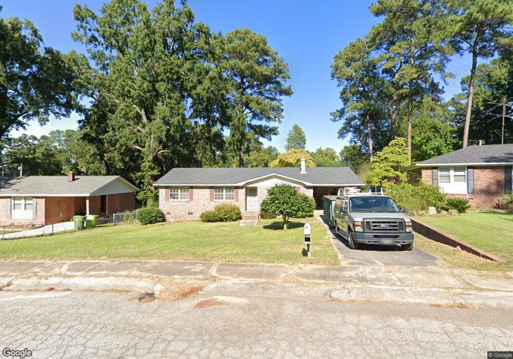
1842 Cunningham Rd Columbia, SC 29210
Saint Andrews NeighborhoodEstimated Value: $194,519 - $214,000
3
Beds
2
Baths
1,488
Sq Ft
$139/Sq Ft
Est. Value
About This Home
This home is located at 1842 Cunningham Rd, Columbia, SC 29210 and is currently estimated at $206,380, approximately $138 per square foot. 1842 Cunningham Rd is a home located in Richland County with nearby schools including Sandel Elementary School, St. Andrews Middle School, and Columbia High School.
Ownership History
Date
Name
Owned For
Owner Type
Purchase Details
Closed on
Jan 10, 2023
Sold by
Bpim Llc
Bought by
Glispie Ryan and Mendoza Angel
Current Estimated Value
Home Financials for this Owner
Home Financials are based on the most recent Mortgage that was taken out on this home.
Original Mortgage
$194,881
Outstanding Balance
$185,416
Interest Rate
4%
Mortgage Type
VA
Estimated Equity
$20,964
Purchase Details
Closed on
Aug 31, 2022
Sold by
Minick Joann D
Bought by
Bpim Llc
Home Financials for this Owner
Home Financials are based on the most recent Mortgage that was taken out on this home.
Original Mortgage
$115,000
Interest Rate
5.3%
Mortgage Type
Construction
Purchase Details
Closed on
Feb 18, 2003
Sold by
Minick Joann D
Bought by
Minick Joann D
Create a Home Valuation Report for This Property
The Home Valuation Report is an in-depth analysis detailing your home's value as well as a comparison with similar homes in the area
Home Values in the Area
Average Home Value in this Area
Purchase History
| Date | Buyer | Sale Price | Title Company |
|---|---|---|---|
| Glispie Ryan | $190,500 | -- | |
| Bpim Llc | $75,000 | -- | |
| Minick Joann D | -- | -- |
Source: Public Records
Mortgage History
| Date | Status | Borrower | Loan Amount |
|---|---|---|---|
| Open | Glispie Ryan | $194,881 | |
| Previous Owner | Bpim Llc | $115,000 |
Source: Public Records
Tax History Compared to Growth
Tax History
| Year | Tax Paid | Tax Assessment Tax Assessment Total Assessment is a certain percentage of the fair market value that is determined by local assessors to be the total taxable value of land and additions on the property. | Land | Improvement |
|---|---|---|---|---|
| 2024 | $5,212 | $190,500 | $16,700 | $173,800 |
| 2023 | $5,212 | $3,288 | $0 | $0 |
| 2022 | $2,548 | $82,200 | $12,800 | $69,400 |
| 2021 | $2,537 | $4,930 | $0 | $0 |
| 2020 | $2,550 | $4,930 | $0 | $0 |
| 2019 | $2,524 | $4,930 | $0 | $0 |
| 2018 | $2,304 | $4,480 | $0 | $0 |
| 2017 | $2,241 | $4,480 | $0 | $0 |
| 2016 | $2,203 | $4,480 | $0 | $0 |
| 2015 | $2,148 | $4,420 | $0 | $0 |
| 2014 | $2,107 | $73,700 | $0 | $0 |
| 2013 | -- | $4,420 | $0 | $0 |
Source: Public Records
Map
Nearby Homes
- 2126 Rolling Hills Rd
- 2225 Hertford Dr
- 1830 Saint Michaels Rd
- 1932 Greenwyche Ave
- 1917 Kathleen Dr
- 2305 Apple Valley Rd
- 1605 Kathleen Dr
- 2332 New Lake Dr
- 1917 Chandler Ave
- 1618 van Lingle Ave
- 1533 Westchester Dr
- 2116 Chandler Ave
- 1604 Nunamaker Dr
- 0 Marley Dr Unit 598776
- 1919 Marley Dr
- 1904 Elise Dr
- 1921 Spotswood Dr
- 2103 Marley Dr
- 1204 Old Manor Rd
- 529 Cambout St
- 1836 Cunningham Rd
- 1848 Cunningham Rd
- 2121 Hertford Dr
- 2117 Hertford Dr
- 1830 Cunningham Rd
- 1835 Cunningham Rd
- 2125 Hertford Dr
- 1854 Cunningham Rd
- 1824 Cunningham Rd
- 1883 Woodsboro Dr
- 1829 Cunningham Rd
- 2140 Rolling Hills Rd
- 1876 Woodsboro Dr
- 2129 Hertford Dr
- 2109 Hertford Dr
- 1860 Cunningham Rd
- 2136 Rolling Hills Rd
- 2144 Rolling Hills Rd
- 1816 Cunningham Rd
- 1823 Cunningham Rd