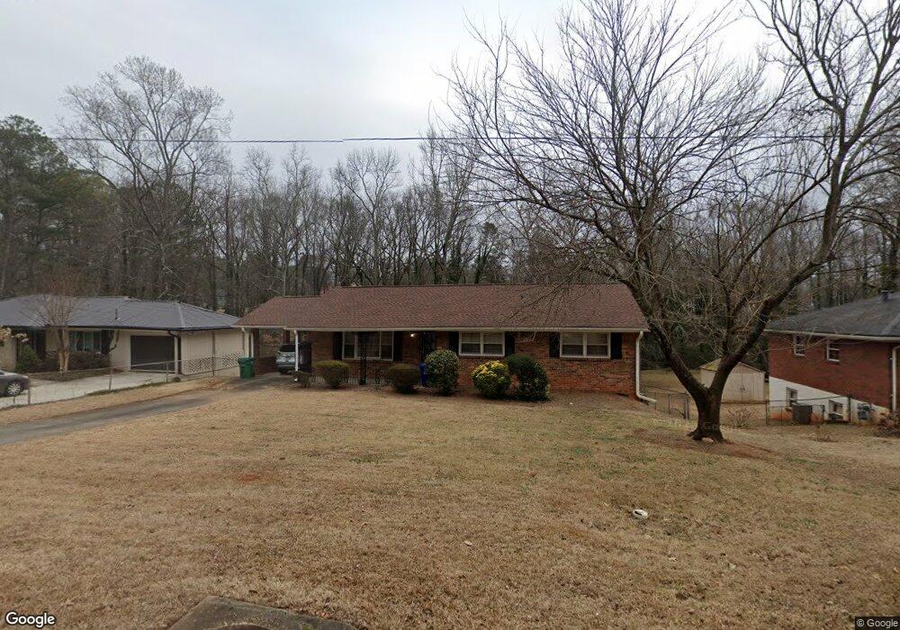
1842 Delphine Dr Decatur, GA 30032
East Lake NeighborhoodEstimated Value: $286,511 - $329,000
2
Beds
2
Baths
1,233
Sq Ft
$253/Sq Ft
Est. Value
About This Home
This home is located at 1842 Delphine Dr, Decatur, GA 30032 and is currently estimated at $311,628, approximately $252 per square foot. 1842 Delphine Dr is a home located in DeKalb County with nearby schools including McNair Middle School, McNair High School, and Charles Drew Charter School.
Ownership History
Date
Name
Owned For
Owner Type
Purchase Details
Closed on
Dec 1, 2011
Sold by
Scott Nathaniel Hubert
Bought by
Scroggins Terris Jakobi
Current Estimated Value
Purchase Details
Closed on
Nov 30, 2011
Sold by
Scott Fannie Mae
Bought by
Scott Nathaniel Hubert
Purchase Details
Closed on
Nov 23, 2011
Sold by
Scroggins Terris Jakobi
Bought by
Scroggins Terri Lynn
Create a Home Valuation Report for This Property
The Home Valuation Report is an in-depth analysis detailing your home's value as well as a comparison with similar homes in the area
Home Values in the Area
Average Home Value in this Area
Purchase History
| Date | Buyer | Sale Price | Title Company |
|---|---|---|---|
| Scroggins Terris Jakobi | -- | -- | |
| Scott Nathaniel Hubert | -- | -- | |
| Scroggins Terri Lynn | -- | -- |
Source: Public Records
Tax History Compared to Growth
Tax History
| Year | Tax Paid | Tax Assessment Tax Assessment Total Assessment is a certain percentage of the fair market value that is determined by local assessors to be the total taxable value of land and additions on the property. | Land | Improvement |
|---|---|---|---|---|
| 2025 | $817 | $121,520 | $40,520 | $81,000 |
| 2024 | $869 | $119,400 | $40,520 | $78,880 |
| 2023 | $869 | $111,320 | $40,520 | $70,800 |
| 2022 | $780 | $103,200 | $32,960 | $70,240 |
| 2021 | $780 | $88,200 | $32,000 | $56,200 |
| 2020 | $785 | $79,760 | $32,000 | $47,760 |
| 2019 | $769 | $79,480 | $6,320 | $73,160 |
| 2018 | $1,185 | $58,040 | $6,320 | $51,720 |
| 2017 | $2,719 | $48,080 | $6,320 | $41,760 |
| 2016 | $1,600 | $28,440 | $6,320 | $22,120 |
| 2014 | $1,475 | $25,000 | $3,200 | $21,800 |
Source: Public Records
Map
Nearby Homes
- 1850 Delphine Dr
- 1836 Delphine Dr
- 1830 Delphine Dr
- 1858 Delphine Dr
- 1839 Delphine Dr
- 1853 Delphine Dr
- 1837 Delphine Dr
- 1845 Delphine Dr
- 1864 Delphine Dr
- 1824 Delphine Dr
- 1859 Delphine Dr
- 0 Dephine
- 449 Carter Ave SE
- 447 Carter Ave SE
- 451 Carter Ave SE
- 453 Carter Ave SE
- 1867 Delphine Dr
- 445 Carter Ave SE
- 1870 Delphine Dr
- 439 Carter Ave SE