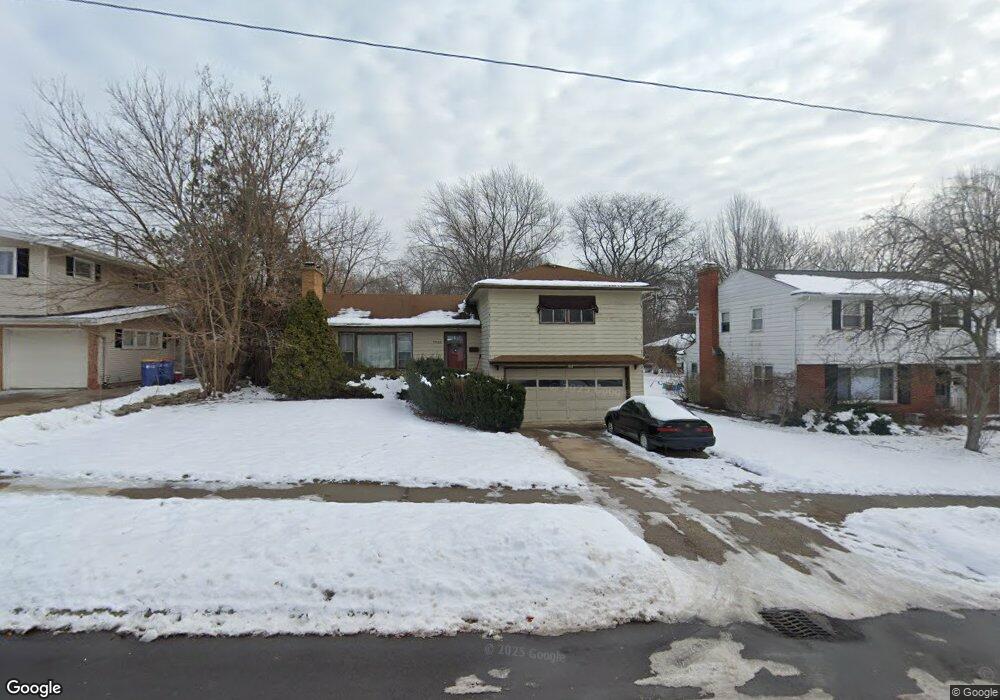
1842 Emerald Ave NE Grand Rapids, MI 49505
Creston NeighborhoodEstimated Value: $322,000 - $403,000
3
Beds
2
Baths
1,566
Sq Ft
$225/Sq Ft
Est. Value
About This Home
This home is located at 1842 Emerald Ave NE, Grand Rapids, MI 49505 and is currently estimated at $352,836, approximately $225 per square foot. 1842 Emerald Ave NE is a home located in Kent County with nearby schools including Kent Hills School, Riverside Middle School, and Union High School.
Ownership History
Date
Name
Owned For
Owner Type
Purchase Details
Closed on
Nov 18, 2005
Sold by
Gill Raymond V and Gill Helen F
Bought by
Guillory David
Current Estimated Value
Home Financials for this Owner
Home Financials are based on the most recent Mortgage that was taken out on this home.
Original Mortgage
$106,800
Outstanding Balance
$59,088
Interest Rate
6.2%
Mortgage Type
New Conventional
Estimated Equity
$293,748
Purchase Details
Closed on
Sep 8, 1994
Create a Home Valuation Report for This Property
The Home Valuation Report is an in-depth analysis detailing your home's value as well as a comparison with similar homes in the area
Home Values in the Area
Average Home Value in this Area
Purchase History
| Date | Buyer | Sale Price | Title Company |
|---|---|---|---|
| Guillory David | $133,500 | -- | |
| -- | $100 | -- |
Source: Public Records
Mortgage History
| Date | Status | Borrower | Loan Amount |
|---|---|---|---|
| Open | Guillory David | $106,800 |
Source: Public Records
Tax History Compared to Growth
Tax History
| Year | Tax Paid | Tax Assessment Tax Assessment Total Assessment is a certain percentage of the fair market value that is determined by local assessors to be the total taxable value of land and additions on the property. | Land | Improvement |
|---|---|---|---|---|
| 2025 | $2,270 | $159,300 | $0 | $0 |
| 2024 | $2,270 | $141,600 | $0 | $0 |
| 2023 | $2,303 | $129,700 | $0 | $0 |
| 2022 | $2,186 | $110,100 | $0 | $0 |
| 2021 | $125 | $104,900 | $0 | $0 |
| 2020 | $2,044 | $98,300 | $0 | $0 |
| 2019 | $2,067 | $93,500 | $0 | $0 |
| 2018 | $2,067 | $86,300 | $0 | $0 |
| 2017 | $2,012 | $72,800 | $0 | $0 |
| 2016 | $2,037 | $67,200 | $0 | $0 |
| 2015 | $1,894 | $67,200 | $0 | $0 |
| 2013 | -- | $55,700 | $0 | $0 |
Source: Public Records
Map
Nearby Homes
- 1848 Emerald Ave NE
- 1825 Meadowfield Dr NE
- 1757 Westlane Dr NE
- 1824 Herrick Ave NE
- 1119 Kentwood Dr NE
- 2038 Melita Ave NE
- 738 Graceland St NE
- 612 Woodridge St NE
- 778 Eleanor St NE
- 921 Eleanor St NE
- 1237 Dale Ct NE
- 2100 Dawson Ave NE
- 2019 Plainfield Ave NE
- 1335 Knapp St NE
- 2027 Joan Ave NE
- 2030 Sinclair Ave NE
- 1666 Carlton Ave NE
- 1119 Spencer St NE
- 465 Kenwood St NE
- 1411 Union Ave NE
- 1848 Emerald Ave NE Unit NE
- 1832 Emerald Ave NE
- 1841 Houseman Ave NE
- 1854 Emerald Ave NE
- 1824 Emerald Ave NE
- 1837 Houseman Ave NE
- 1847 Houseman Ave NE
- 1857 Houseman Ave NE
- 1829 Houseman Ave NE
- 1835 Emerald Ave NE
- 1862 Emerald Ave NE
- 1820 Emerald Ave NE
- 1843 Emerald Ave NE
- 1829 Emerald Ave NE
- 1851 Emerald Ave NE
- 1823 Emerald Ave NE
- 1821 Houseman Ave NE
- 1861 Houseman Ave NE
- 1900 Emerald Ave NE
- 1814 Emerald Ave NE