1842 Jamestown Cir Unit 3104 Hoffman Estates, IL 60169
South Hoffman Estates NeighborhoodEstimated Value: $219,000 - $269,000
3
Beds
1
Bath
1,050
Sq Ft
$230/Sq Ft
Est. Value
About This Home
This home is located at 1842 Jamestown Cir Unit 3104, Hoffman Estates, IL 60169 and is currently estimated at $241,330, approximately $229 per square foot. 1842 Jamestown Cir Unit 3104 is a home located in Cook County with nearby schools including John Muir Literacy Academy, Dwight D Eisenhower Junior High School, and Hoffman Estates High School.
Ownership History
Date
Name
Owned For
Owner Type
Purchase Details
Closed on
Jul 13, 2006
Sold by
Bauer Thomas C
Bought by
Deortega Minerva C
Current Estimated Value
Home Financials for this Owner
Home Financials are based on the most recent Mortgage that was taken out on this home.
Original Mortgage
$131,200
Outstanding Balance
$78,619
Interest Rate
6.82%
Mortgage Type
Unknown
Estimated Equity
$162,711
Create a Home Valuation Report for This Property
The Home Valuation Report is an in-depth analysis detailing your home's value as well as a comparison with similar homes in the area
Home Values in the Area
Average Home Value in this Area
Purchase History
| Date | Buyer | Sale Price | Title Company |
|---|---|---|---|
| Deortega Minerva C | $164,000 | Republic Title Company |
Source: Public Records
Mortgage History
| Date | Status | Borrower | Loan Amount |
|---|---|---|---|
| Open | Deortega Minerva C | $131,200 |
Source: Public Records
Tax History Compared to Growth
Tax History
| Year | Tax Paid | Tax Assessment Tax Assessment Total Assessment is a certain percentage of the fair market value that is determined by local assessors to be the total taxable value of land and additions on the property. | Land | Improvement |
|---|---|---|---|---|
| 2024 | $3,691 | $15,342 | $3,789 | $11,553 |
| 2023 | $3,541 | $15,342 | $3,789 | $11,553 |
| 2022 | $3,541 | $15,342 | $3,789 | $11,553 |
| 2021 | $2,956 | $12,152 | $5,967 | $6,185 |
| 2020 | $2,961 | $12,152 | $5,967 | $6,185 |
| 2019 | $2,969 | $13,571 | $5,967 | $7,604 |
| 2018 | $1,458 | $7,907 | $5,210 | $2,697 |
| 2017 | $1,451 | $7,907 | $5,210 | $2,697 |
| 2016 | $1,612 | $7,907 | $5,210 | $2,697 |
| 2015 | $864 | $5,314 | $4,546 | $768 |
| 2014 | $866 | $5,314 | $4,546 | $768 |
| 2013 | $248 | $5,314 | $4,546 | $768 |
Source: Public Records
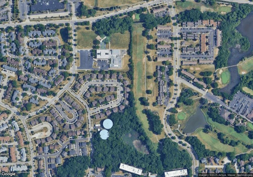
Map
Nearby Homes
- 1850 Jamestown Cir Unit 392
- 2021 Kensington Ln Unit 3004
- 2027 Kensington Ln Unit 3001
- 2025 Kensington Ln Unit 3002
- 2001 Kensington Ln Unit 1005
- 2023 Kensington Ln Unit 3003
- 2003 Kensington Ln Unit 1004
- 1860 Huntington Blvd Unit E
- 1840 Huntington Blvd Unit BW608
- 1908 Kenilworth Cir Unit H
- 1975 Kenilworth Cir Unit B
- 1800 Huntington Blvd Unit AE212
- 1930 Kenilworth Cir Unit E
- 1800 Fayette Walk Unit E
- 1808 Fayette Walk Unit H
- 1712 Fayette Walk Unit D
- 1612 Islandview Ct
- 1874 Wellington Place
- 1933 Williamsburg Dr Unit 1
- 1949 Blackberry Ln Unit 91
- 1830 Jamestown Cir Unit 3112
- 1840 Jamestown Cir Unit 3103
- 1836 Jamestown Cir Unit 3101
- 1838 Jamestown Cir Unit 3102
- 1838 Jamestown Cir Unit 1836
- 1832 Jamestown Cir Unit 3113
- 1834 Jamestown Cir Unit 3114
- 1828 Jamestown Cir Unit 3111
- 1844 Jamestown Cir Unit 393
- 1846 Jamestown Cir Unit 394
- 1848 Jamestown Cir Unit 391
- 1822 Jamestown Cir Unit 3122
- 1824 Jamestown Cir Unit 3123
- 1863 Jamestown Cir Unit 3202
- 1820 Jamestown Cir Unit 3121
- 1865 Jamestown Cir Unit 3203
- 1826 Jamestown Cir Unit 3124
- 1826 Jamestown Cir Unit 1826
- 1852 Jamestown Cir Unit 381
- 1858 Jamestown Cir Unit 384