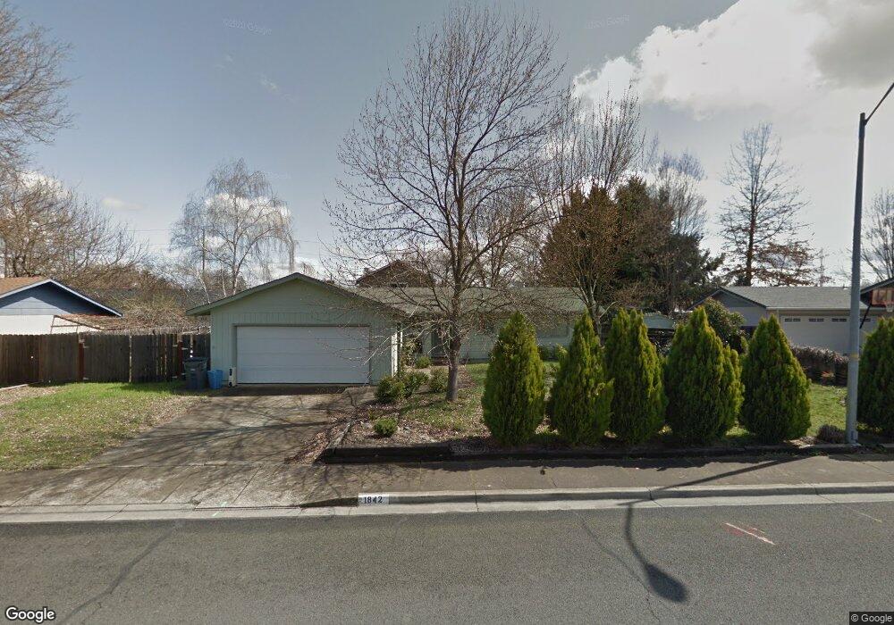
1842 Marys Way Central Point, OR 97502
Estimated Value: $332,000 - $365,000
3
Beds
2
Baths
1,136
Sq Ft
$309/Sq Ft
Est. Value
About This Home
This home is located at 1842 Marys Way, Central Point, OR 97502 and is currently estimated at $351,484, approximately $309 per square foot. 1842 Marys Way is a home located in Jackson County with nearby schools including Jewett Elementary School, Scenic Middle School, and Crater High School.
Ownership History
Date
Name
Owned For
Owner Type
Purchase Details
Closed on
Jun 21, 2001
Sold by
Higinbotham Scott D and Higinbotham Teri D
Bought by
Lang Steven
Current Estimated Value
Home Financials for this Owner
Home Financials are based on the most recent Mortgage that was taken out on this home.
Original Mortgage
$91,600
Outstanding Balance
$34,918
Interest Rate
7.15%
Estimated Equity
$316,566
Create a Home Valuation Report for This Property
The Home Valuation Report is an in-depth analysis detailing your home's value as well as a comparison with similar homes in the area
Home Values in the Area
Average Home Value in this Area
Purchase History
| Date | Buyer | Sale Price | Title Company |
|---|---|---|---|
| Lang Steven | $114,500 | Key Title Company |
Source: Public Records
Mortgage History
| Date | Status | Borrower | Loan Amount |
|---|---|---|---|
| Open | Lang Steven | $91,600 |
Source: Public Records
Tax History Compared to Growth
Tax History
| Year | Tax Paid | Tax Assessment Tax Assessment Total Assessment is a certain percentage of the fair market value that is determined by local assessors to be the total taxable value of land and additions on the property. | Land | Improvement |
|---|---|---|---|---|
| 2025 | $3,114 | $187,290 | $73,780 | $113,510 |
| 2024 | $3,114 | $181,840 | $71,630 | $110,210 |
| 2023 | $3,014 | $176,550 | $69,550 | $107,000 |
| 2022 | $2,943 | $176,550 | $69,550 | $107,000 |
| 2021 | $2,859 | $171,410 | $67,530 | $103,880 |
| 2020 | $2,776 | $166,420 | $65,570 | $100,850 |
| 2019 | $2,708 | $156,880 | $61,810 | $95,070 |
| 2018 | $2,625 | $152,320 | $60,010 | $92,310 |
| 2017 | $2,559 | $152,320 | $60,010 | $92,310 |
| 2016 | $2,485 | $143,590 | $56,560 | $87,030 |
| 2015 | $2,381 | $143,590 | $56,560 | $87,030 |
| 2014 | $2,320 | $135,350 | $53,310 | $82,040 |
Source: Public Records
Map
Nearby Homes
- 335 Applewood Dr
- 356 Marian Ave Unit 40
- 4035 Rock Way
- 327 Brookhaven Dr
- 4626 N Pacific Hwy
- 426 Bridge Creek Dr
- 413 Sand Pointe Dr
- 422 Castle Rock Dr
- 905 Comet Ave
- 1167 Boulder Ridge St
- 0 Boulder Ridge St
- 526 Stone Pointe Dr
- 1010 N 3rd St
- 629 Bridge Creek Dr
- 1317 River Run St
- 1159 Rustler Peak St
- 920 N 10th St
- 55 Crater Ln
- 741 Hazel St
- 342 Hazel St
- 1845 Nancy Ave
- 1834 Marys Way
- 1850 Marys Way
- 1855 Nancy Ave
- 1831 Nancy Ave
- 1843 Marys Way
- 1841 Marys Way
- 1826 Marys Way
- 1851 Marys Way
- 1862 Marys Way
- 1833 Marys Way
- 1861 Nancy Ave
- 1821 Nancy Ave
- 1863 Marys Way
- 1846 Nancy Ave
- 1838 Nancy Ave
- 1827 Marys Way
- 1814 Marys Way
- 1846 Cottonwood Dr
- 1832 Nancy Ave