1843 Highway 32 Unit 7 West Point, NE 68788
Estimated Value: $433,082 - $536,000
3
Beds
3
Baths
1,724
Sq Ft
$284/Sq Ft
Est. Value
About This Home
This home is located at 1843 Highway 32 Unit 7, West Point, NE 68788 and is currently estimated at $490,021, approximately $284 per square foot. 1843 Highway 32 Unit 7 is a home located in Cuming County with nearby schools including West Point-Beemer Junior/Senior High School, St. Paul Lutheran School, and Guardian Angels Elementary School.
Ownership History
Date
Name
Owned For
Owner Type
Purchase Details
Closed on
Sep 19, 2024
Sold by
Pierce Lynn J
Bought by
Heiser Scott V and Heiser Jessica A
Current Estimated Value
Home Financials for this Owner
Home Financials are based on the most recent Mortgage that was taken out on this home.
Original Mortgage
$233,000
Outstanding Balance
$229,928
Interest Rate
6.47%
Mortgage Type
New Conventional
Estimated Equity
$260,093
Create a Home Valuation Report for This Property
The Home Valuation Report is an in-depth analysis detailing your home's value as well as a comparison with similar homes in the area
Home Values in the Area
Average Home Value in this Area
Purchase History
| Date | Buyer | Sale Price | Title Company |
|---|---|---|---|
| Heiser Scott V | $413,000 | None Listed On Document |
Source: Public Records
Mortgage History
| Date | Status | Borrower | Loan Amount |
|---|---|---|---|
| Open | Heiser Scott V | $233,000 |
Source: Public Records
Tax History Compared to Growth
Tax History
| Year | Tax Paid | Tax Assessment Tax Assessment Total Assessment is a certain percentage of the fair market value that is determined by local assessors to be the total taxable value of land and additions on the property. | Land | Improvement |
|---|---|---|---|---|
| 2025 | $2,260 | $447,095 | $42,380 | $404,715 |
| 2024 | $2,260 | $373,410 | $42,100 | $331,310 |
| 2023 | $3,255 | $358,360 | $37,100 | $321,260 |
| 2022 | $3,147 | $312,960 | $24,400 | $288,560 |
| 2021 | $2,868 | $279,735 | $24,400 | $255,335 |
| 2020 | $2,683 | $264,710 | $24,400 | $240,310 |
| 2019 | $2,554 | $246,275 | $24,400 | $221,875 |
| 2018 | $2,514 | $243,275 | $21,400 | $221,875 |
| 2017 | $2,420 | $226,800 | $18,400 | $208,400 |
| 2016 | $2,460 | $218,465 | $18,400 | $200,065 |
| 2015 | $2,656 | $215,045 | $16,085 | $198,960 |
| 2014 | $2,598 | $187,500 | $14,980 | $172,520 |
| 2013 | $2,598 | $181,105 | $11,770 | $169,335 |
Source: Public Records
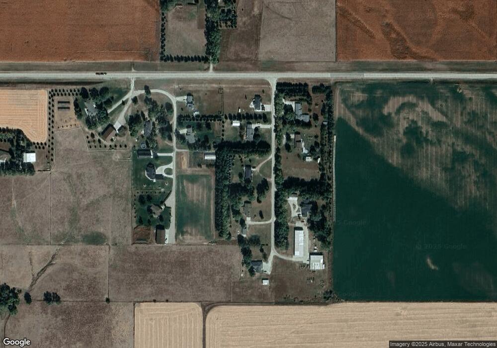
Map
Nearby Homes
- 1843 Highway 32
- 1843 Highway 32
- 1843 Highway 32
- 1843 Highway 32
- 1843 Highway 32 Unit 1
- 1827 Highway 32 Unit 3
- 1827 Highway 32 Unit 3
- 1827 Highway 32
- 1827 Highway 32 Unit 4
- 1827 Highway 32 Unit 2
- 1827 Highway 32 Unit 3
- 1827 Highway 32 Unit LOT 2
- 1843 Nebraska 32 Unit 7
- 1843 Highway 32 Lot 7 Hwy
- 690 18th Rd
- 680 18th Rd
- 1836 Highway 32
- 641 19th Rd
- 641 18th Rd
- 657 18th Rd