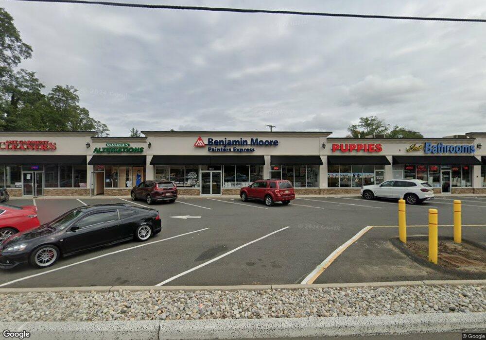
1843 State Route 35 Middletown, NJ 07748
New Monmouth NeighborhoodEstimated Value: $6,089,630
--
Bed
--
Bath
2,300
Sq Ft
$2,648/Sq Ft
Est. Value
About This Home
This home is located at 1843 State Route 35, Middletown, NJ 07748 and is currently estimated at $6,089,630, approximately $2,647 per square foot. 1843 State Route 35 is a home located in Monmouth County with nearby schools including Middletown Village Elementary School, Thompson Middle School, and Middletown High School North.
Ownership History
Date
Name
Owned For
Owner Type
Purchase Details
Closed on
Jan 14, 2025
Sold by
1835 Route 35 Tic I Llc and 1835 Route 35 Tic Ii Llc
Bought by
Jam Realty 33 Llc
Current Estimated Value
Home Financials for this Owner
Home Financials are based on the most recent Mortgage that was taken out on this home.
Original Mortgage
$1,800,000
Outstanding Balance
$1,786,985
Interest Rate
6.6%
Mortgage Type
New Conventional
Estimated Equity
$4,302,645
Purchase Details
Closed on
May 15, 2015
Sold by
Rappaport Edith and Adler Duthe Beth
Bought by
1835 Route 35 Tic I Llc and 1835 Route 35 Tic Ii Llc
Home Financials for this Owner
Home Financials are based on the most recent Mortgage that was taken out on this home.
Original Mortgage
$2,286,000
Interest Rate
3.62%
Mortgage Type
Future Advance Clause Open End Mortgage
Create a Home Valuation Report for This Property
The Home Valuation Report is an in-depth analysis detailing your home's value as well as a comparison with similar homes in the area
Home Values in the Area
Average Home Value in this Area
Purchase History
| Date | Buyer | Sale Price | Title Company |
|---|---|---|---|
| Jam Realty 33 Llc | $5,800,000 | Cb Title Group | |
| 1835 Route 35 Tic I Llc | $2,550,000 | Exact Land Title Agency Llc | |
| Rappaport Edith | -- | Exact Land Title Agency Llc |
Source: Public Records
Mortgage History
| Date | Status | Borrower | Loan Amount |
|---|---|---|---|
| Open | Jam Realty 33 Llc | $1,800,000 | |
| Previous Owner | Rappaport Edith | $2,286,000 |
Source: Public Records
Tax History Compared to Growth
Tax History
| Year | Tax Paid | Tax Assessment Tax Assessment Total Assessment is a certain percentage of the fair market value that is determined by local assessors to be the total taxable value of land and additions on the property. | Land | Improvement |
|---|---|---|---|---|
| 2025 | $70,294 | $4,484,200 | $1,757,500 | $2,726,700 |
| 2024 | $73,121 | $4,273,200 | $1,604,000 | $2,669,200 |
| 2023 | $73,121 | $4,207,200 | $1,572,500 | $2,634,700 |
| 2022 | $76,850 | $3,936,300 | $1,480,000 | $2,456,300 |
| 2021 | $76,850 | $3,694,700 | $1,480,000 | $2,214,700 |
| 2020 | $75,266 | $3,520,400 | $1,480,000 | $2,040,400 |
| 2019 | $75,760 | $3,587,100 | $1,480,000 | $2,107,100 |
| 2018 | $82,558 | $3,809,800 | $1,480,000 | $2,329,800 |
| 2017 | $83,397 | $3,809,800 | $1,480,000 | $2,329,800 |
| 2016 | $81,187 | $3,809,800 | $1,480,000 | $2,329,800 |
| 2015 | $81,377 | $3,809,800 | $1,480,000 | $2,329,800 |
| 2014 | $83,397 | $3,809,800 | $1,480,000 | $2,329,800 |
Source: Public Records
Map
Nearby Homes
- 2 Ware Place
- 1305 Arose Ln
- 343 Middlewood Rd
- 123-125 Magnolia Ln
- 161 Cherry Tree Ln
- 44 Devonshire Ct
- 7 Acker Dr
- 4 Coral Place
- 27 Pate Dr
- 61 Pate Dr
- 63 Pate Dr
- 901 Palmer Ave
- 4 Pine Tree Terrace
- 8 Stagecoach Dr Unit 13
- 846 Palmer Ave
- 58 Agostina Dr Unit 250
- 64 Agostina Dr Unit 64
- 3 Green Oak Blvd
- 22 Weller Place Unit 22
- 9 Boxwood Terrace