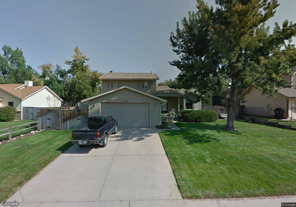
1844 44th Ave Greeley, CO 80634
Estimated Value: $446,000 - $468,000
3
Beds
7
Baths
1,712
Sq Ft
$266/Sq Ft
Est. Value
About This Home
This home is located at 1844 44th Ave, Greeley, CO 80634 and is currently estimated at $455,289, approximately $265 per square foot. 1844 44th Ave is a home located in Weld County with nearby schools including Monfort Elementary School, Heath Middle School, and Greeley Central High School.
Ownership History
Date
Name
Owned For
Owner Type
Purchase Details
Closed on
Aug 7, 2008
Sold by
Vaughan Lindamarie K
Bought by
Vaughan Deborah L and Vaughan Leslie M
Current Estimated Value
Purchase Details
Closed on
Apr 16, 2003
Sold by
Vaughn Lindamarie K and Wilkinson Deborah L Vaughan
Bought by
Vaughan Lindamarie K
Purchase Details
Closed on
Aug 25, 1997
Sold by
Sperstad Terry A and Sperstad Pamela L
Bought by
Vaughan Landmarie K and Wilkinson Deborah L Vaughan
Home Financials for this Owner
Home Financials are based on the most recent Mortgage that was taken out on this home.
Original Mortgage
$111,900
Interest Rate
7.46%
Purchase Details
Closed on
Jun 18, 1992
Sold by
Wood Mark F and Wood Myra E
Bought by
Sperstad Terry A and Sperstad Pamela L
Purchase Details
Closed on
May 8, 1984
Create a Home Valuation Report for This Property
The Home Valuation Report is an in-depth analysis detailing your home's value as well as a comparison with similar homes in the area
Home Values in the Area
Average Home Value in this Area
Purchase History
| Date | Buyer | Sale Price | Title Company |
|---|---|---|---|
| Vaughan Deborah L | -- | None Available | |
| Vaughan Lindamarie K | -- | -- | |
| Vaughan Landmarie K | $139,900 | -- | |
| Sperstad Terry A | $101,900 | -- | |
| -- | -- | -- | |
| Wood Mark F | $83,000 | -- |
Source: Public Records
Mortgage History
| Date | Status | Borrower | Loan Amount |
|---|---|---|---|
| Previous Owner | Vaughan Landmarie K | $111,900 |
Source: Public Records
Tax History Compared to Growth
Tax History
| Year | Tax Paid | Tax Assessment Tax Assessment Total Assessment is a certain percentage of the fair market value that is determined by local assessors to be the total taxable value of land and additions on the property. | Land | Improvement |
|---|---|---|---|---|
| 2025 | $2,012 | $25,870 | $4,380 | $21,490 |
| 2024 | $2,012 | $25,870 | $4,380 | $21,490 |
| 2023 | $1,918 | $27,670 | $4,600 | $23,070 |
| 2022 | $1,877 | $21,530 | $4,590 | $16,940 |
| 2021 | $1,937 | $22,150 | $4,720 | $17,430 |
| 2020 | $1,796 | $20,600 | $3,720 | $16,880 |
| 2019 | $1,800 | $20,600 | $3,720 | $16,880 |
| 2018 | $1,444 | $17,430 | $3,600 | $13,830 |
| 2017 | $1,451 | $17,430 | $3,600 | $13,830 |
| 2016 | $1,112 | $15,030 | $2,550 | $12,480 |
| 2015 | $1,108 | $15,030 | $2,550 | $12,480 |
| 2014 | $952 | $12,600 | $2,310 | $10,290 |
Source: Public Records
Map
Nearby Homes
- 1879 43rd Ave
- 1814 102nd Ave Ct
- 1911 44th Avenue Ct
- 2011 44th Ave
- 4436 W 17th St
- 2010 46th Ave Unit 19
- 2010 46th Ave Unit 12
- 2010 46th Ave Unit 20
- 4467 W 17th St
- 4331 W 16th Street Rd
- 1601 44th Avenue Ct Unit 5
- 4479 W 17th St
- 1634 41st Ave
- 4609 W 20th St
- 3949 W 19th Street Ln
- 2128 45th Ave
- 4490 W Pioneer Dr Unit 50
- 2152 45th Ave
- 4529 W Pioneer Ln Unit 5
- 4672 W 20th Street Rd Unit 1923