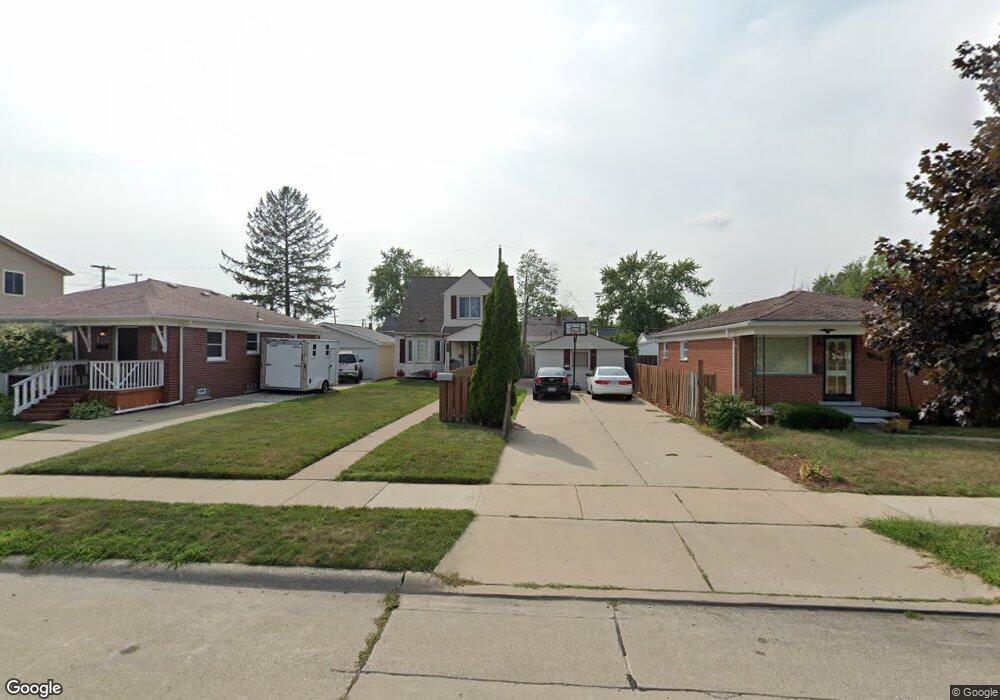
1844 Electric St Wyandotte, MI 48192
Estimated Value: $165,000 - $203,000
3
Beds
2
Baths
1,200
Sq Ft
$156/Sq Ft
Est. Value
About This Home
This home is located at 1844 Electric St, Wyandotte, MI 48192 and is currently estimated at $187,328, approximately $156 per square foot. 1844 Electric St is a home located in Wayne County with nearby schools including Jefferson Elementary School, Woodrow Wilson School, and Roosevelt High School.
Ownership History
Date
Name
Owned For
Owner Type
Purchase Details
Closed on
Nov 21, 2024
Sold by
Colley Latoya and Garrison Latoya
Bought by
Chatman Latoya
Current Estimated Value
Purchase Details
Closed on
Oct 9, 2008
Sold by
Mortgage Electronic Registration Systems
Bought by
Federal National Mortgage Association
Purchase Details
Closed on
Nov 23, 2001
Sold by
Bennie Jeffrey M
Bought by
Bennie Jeffrey M
Purchase Details
Closed on
Apr 26, 2000
Sold by
Mihalyfi Mark W
Bought by
Jeffrey M Bennie
Create a Home Valuation Report for This Property
The Home Valuation Report is an in-depth analysis detailing your home's value as well as a comparison with similar homes in the area
Home Values in the Area
Average Home Value in this Area
Purchase History
| Date | Buyer | Sale Price | Title Company |
|---|---|---|---|
| Chatman Latoya | -- | None Listed On Document | |
| Federal National Mortgage Association | -- | None Available | |
| Mortgage Electronic Registration Systems | $100,518 | None Available | |
| Bennie Jeffrey M | -- | -- | |
| Jeffrey M Bennie | $89,000 | -- |
Source: Public Records
Tax History Compared to Growth
Tax History
| Year | Tax Paid | Tax Assessment Tax Assessment Total Assessment is a certain percentage of the fair market value that is determined by local assessors to be the total taxable value of land and additions on the property. | Land | Improvement |
|---|---|---|---|---|
| 2025 | $1,434 | $84,000 | $0 | $0 |
| 2024 | $1,434 | $76,300 | $0 | $0 |
| 2023 | $1,368 | $69,900 | $0 | $0 |
| 2022 | $1,584 | $62,800 | $0 | $0 |
| 2021 | $1,553 | $56,600 | $0 | $0 |
| 2020 | $1,531 | $51,100 | $0 | $0 |
| 2019 | $1,510 | $47,600 | $0 | $0 |
| 2018 | $1,224 | $31,500 | $0 | $0 |
| 2017 | $528 | $31,500 | $0 | $0 |
| 2016 | $1,479 | $28,600 | $0 | $0 |
| 2015 | $2,601 | $26,600 | $0 | $0 |
| 2013 | $2,520 | $25,200 | $0 | $0 |
| 2012 | $1,191 | $26,400 | $6,400 | $20,000 |
Source: Public Records
Map
Nearby Homes
- 1836 Electric St
- 1852 Electric St
- 1826 Electric St
- 1864 Electric St
- 1818 Electric St
- 1843 10th St
- 1835 10th St
- 1855 10th St
- 1810 Electric St
- 1872 Electric St
- 1867 10th St
- 1821 10th St
- 1879 10th St
- 1811 10th St
- 0 Electric St Unit 5636724
- 1805 10th St
- 1845 Electric St
- 1883 10th St
- 1842 10th St
- 1774 Electric St