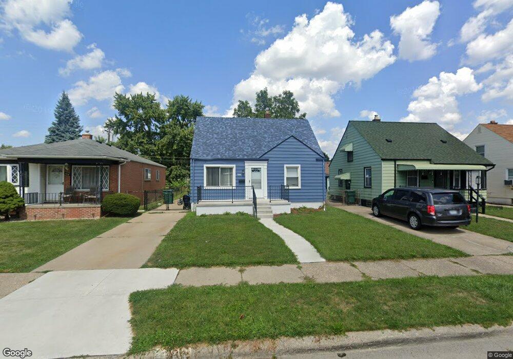
1844 Montie Rd Unit Bldg-Unit Lincoln Park, MI 48146
Estimated Value: $96,000 - $147,540
--
Bed
1
Bath
1,022
Sq Ft
$128/Sq Ft
Est. Value
About This Home
This home is located at 1844 Montie Rd Unit Bldg-Unit, Lincoln Park, MI 48146 and is currently estimated at $130,635, approximately $127 per square foot. 1844 Montie Rd Unit Bldg-Unit is a home located in Wayne County with nearby schools including Lafayette School, Lincoln Park Middle School, and Lincoln Park High School.
Ownership History
Date
Name
Owned For
Owner Type
Purchase Details
Closed on
Jun 19, 2024
Sold by
Czertok Daniel
Bought by
Cosigin1 Llc
Current Estimated Value
Purchase Details
Closed on
Jul 12, 2018
Sold by
Kesner Theresa P
Bought by
Czertok Daniel
Purchase Details
Closed on
Jun 10, 2010
Sold by
Peters Kelly J and Peters Ginger L
Bought by
Kesner Robert
Purchase Details
Closed on
Nov 16, 1998
Sold by
Allison L & Allison 0
Bought by
Peters L L and Peters J
Create a Home Valuation Report for This Property
The Home Valuation Report is an in-depth analysis detailing your home's value as well as a comparison with similar homes in the area
Home Values in the Area
Average Home Value in this Area
Purchase History
| Date | Buyer | Sale Price | Title Company |
|---|---|---|---|
| Cosigin1 Llc | -- | None Listed On Document | |
| Czertok Daniel | $50,040 | None Available | |
| Kesner Robert | $14,500 | Michigan Title Insurance Age | |
| Peters L L | $64,900 | -- |
Source: Public Records
Tax History Compared to Growth
Tax History
| Year | Tax Paid | Tax Assessment Tax Assessment Total Assessment is a certain percentage of the fair market value that is determined by local assessors to be the total taxable value of land and additions on the property. | Land | Improvement |
|---|---|---|---|---|
| 2025 | $1,879 | $63,800 | $0 | $0 |
| 2024 | $1,879 | $57,400 | $0 | $0 |
| 2023 | $2,806 | $48,700 | $0 | $0 |
| 2022 | $1,991 | $39,500 | $0 | $0 |
| 2021 | $1,941 | $39,000 | $0 | $0 |
| 2020 | $1,922 | $31,200 | $0 | $0 |
| 2019 | $1,609 | $25,900 | $0 | $0 |
| 2018 | $896 | $22,100 | $0 | $0 |
| 2017 | $741 | $23,700 | $0 | $0 |
| 2016 | $1,295 | $24,300 | $0 | $0 |
| 2015 | $2,380 | $23,800 | $0 | $0 |
| 2013 | $2,530 | $26,400 | $0 | $0 |
| 2012 | $1,543 | $27,400 | $5,700 | $21,700 |
Source: Public Records
Map
Nearby Homes
- 1862 Montie Rd
- 1840 Morris Ave
- 1826 Morris Ave
- 1807 Morris Ave
- 2064 Morris Ave
- 2190 Morris Ave
- 2105 Paris Ave
- 819 Frank Ave
- 19120 Dix Rd
- 1587 Reo Ave
- 4020 Wall Ave
- 14545 College Ave
- 3603 Harlow Ave
- 1921 Hanford Ave
- 2573 Grace St
- 1558 College Ave
- 14633 College Ave
- 2790 Blanche St
- 000 Harlow St
- 1533 College Ave
- 1844 Montie Rd
- 1840 Montie Rd
- 1836 Montie Rd
- 1854 Montie Rd
- 1830 Montie Rd
- 1858 Montie Rd
- 1843 Council Ave
- 1839 Council Ave
- 1822 Montie Rd
- 1835 Council Ave
- 1853 Council Ave
- 1843 Montie Rd
- 1847 Montie Rd
- 1839 Montie Rd
- 1853 Montie Rd
- 1857 Council Ave
- 1829 Council Ave
- 1816 Montie Rd
- 1857 Montie Rd
- 1835 Montie Rd