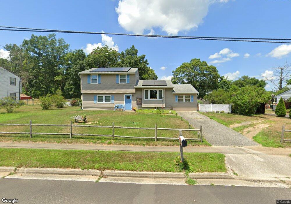
1844 Mountain Dr Millville, NJ 08332
Estimated Value: $225,253 - $277,000
--
Bed
--
Bath
1,628
Sq Ft
$154/Sq Ft
Est. Value
About This Home
This home is located at 1844 Mountain Dr, Millville, NJ 08332 and is currently estimated at $250,063, approximately $153 per square foot. 1844 Mountain Dr is a home located in Cumberland County with nearby schools including Dr. William Mennies School, Landis Middle School, and Vineland Senior High School.
Ownership History
Date
Name
Owned For
Owner Type
Purchase Details
Closed on
Feb 22, 2000
Sold by
Bishop Ronald L
Bought by
Haslett Jonathan and Haslett Gail
Current Estimated Value
Home Financials for this Owner
Home Financials are based on the most recent Mortgage that was taken out on this home.
Original Mortgage
$60,300
Outstanding Balance
$19,919
Interest Rate
8.15%
Estimated Equity
$230,144
Create a Home Valuation Report for This Property
The Home Valuation Report is an in-depth analysis detailing your home's value as well as a comparison with similar homes in the area
Home Values in the Area
Average Home Value in this Area
Purchase History
| Date | Buyer | Sale Price | Title Company |
|---|---|---|---|
| Haslett Jonathan | $67,000 | -- |
Source: Public Records
Mortgage History
| Date | Status | Borrower | Loan Amount |
|---|---|---|---|
| Open | Haslett Jonathan | $60,300 |
Source: Public Records
Tax History Compared to Growth
Tax History
| Year | Tax Paid | Tax Assessment Tax Assessment Total Assessment is a certain percentage of the fair market value that is determined by local assessors to be the total taxable value of land and additions on the property. | Land | Improvement |
|---|---|---|---|---|
| 2025 | $3,935 | $123,600 | $23,600 | $100,000 |
| 2024 | $3,935 | $123,600 | $23,600 | $100,000 |
| 2023 | $3,909 | $123,600 | $23,600 | $100,000 |
| 2022 | $3,793 | $123,600 | $23,600 | $100,000 |
| 2021 | $3,724 | $123,600 | $23,600 | $100,000 |
| 2020 | $3,618 | $123,600 | $23,600 | $100,000 |
| 2019 | $3,568 | $123,600 | $23,600 | $100,000 |
| 2018 | $3,474 | $123,600 | $23,600 | $100,000 |
| 2017 | $3,300 | $123,600 | $23,600 | $100,000 |
| 2016 | $3,184 | $123,600 | $23,600 | $100,000 |
| 2015 | $3,067 | $123,600 | $23,600 | $100,000 |
| 2014 | $2,900 | $123,600 | $23,600 | $100,000 |
Source: Public Records
Map
Nearby Homes
- 1921 Mountain Dr
- 9 Greenlawn Ct
- 2801 Leaming Mill Rd
- 4225 Mays Landing Rd
- 447 Manor Ave
- 429 Manor Ave
- 1812 Newcombtown Rd
- 1916 Bessie Way
- 4770 Stoney Bridge Rd
- 2110 Mays Landing Rd Unit 199
- 2110 Mays Landing Rd Unit 14
- 2110 Mays Landing Rd Unit 73
- 2110 Mays Landing Rd Unit 77
- 2110 Mays Landing Rd Unit 169
- 2110 Mays Landing Rd
- 2110 Mays Landing Rd Unit 317
- 2110 Mays Landing Rd Unit 267
- 2110 Mays Landing Rd Unit 308
- 2402 Shelburn Rd
- 1713 Hance Bridge Rd
- 1824 Mountain Dr
- 1862 Mountain Dr
- 1880 Mountain Dr
- 1806 Mountain Dr
- 1849 Mountain Dr
- 1825 Mountain Dr
- 1809 Mountain Dr
- 1900 Mountain Dr
- 1788 Mountain Dr
- 1881 Mountain Dr
- 5538 Lodge Place
- 5543 Hunter Ct
- 1903 Mountain Dr
- 1766 Mountain Dr
- 1920 Mountain Dr
- 5520 Hunter Ct
- 5539 Lodge Place
- 5558 Lodge Place
- 5563 Hunter Ct
- 5540 Hunter Ct