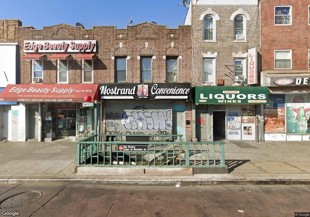
1844 Nostrand Ave Brooklyn, NY 11226
Flatbush NeighborhoodEstimated Value: $970,182
--
Bed
--
Bath
3,145
Sq Ft
$308/Sq Ft
Est. Value
About This Home
This home is located at 1844 Nostrand Ave, Brooklyn, NY 11226 and is currently estimated at $970,182, approximately $308 per square foot. 1844 Nostrand Ave is a home located in Kings County with nearby schools including Middle School 246 Walt Whitman, Central Brooklyn Ascend Charter, and Midwood Montessori.
Ownership History
Date
Name
Owned For
Owner Type
Purchase Details
Closed on
Dec 17, 2021
Sold by
1844 Nostrand Llc
Bought by
Imi Real Estate Corporation
Current Estimated Value
Home Financials for this Owner
Home Financials are based on the most recent Mortgage that was taken out on this home.
Original Mortgage
$375,000
Outstanding Balance
$344,624
Interest Rate
3.05%
Mortgage Type
Purchase Money Mortgage
Estimated Equity
$625,558
Purchase Details
Closed on
Jun 22, 2017
Sold by
Abdulla Abdulla M M
Bought by
1844 Nostrand Llc
Purchase Details
Closed on
Aug 30, 2016
Sold by
Muthana Abdulaziz Abdulla
Bought by
1844 Nostrand Llc
Purchase Details
Closed on
Jan 8, 2016
Sold by
Ali Abdulkarim A
Bought by
Muthana Abdulaziz Abdulla
Purchase Details
Closed on
Mar 29, 2011
Sold by
Ali Ahmed M
Bought by
Ali Abdulkarim A
Purchase Details
Closed on
Aug 6, 2008
Sold by
Muthana Mohamed Abdulla
Bought by
Abdulla Abdulla M M
Purchase Details
Closed on
Sep 12, 2007
Sold by
Ahmed Abdulla Ali
Bought by
Ali Ahmed M
Purchase Details
Closed on
Aug 5, 1998
Sold by
Lulu Muna
Bought by
Muthana Mohamed Abdulla and Muthana Abdulaziz Abdulla
Home Financials for this Owner
Home Financials are based on the most recent Mortgage that was taken out on this home.
Original Mortgage
$136,500
Interest Rate
6.8%
Mortgage Type
Commercial
Purchase Details
Closed on
Nov 26, 1996
Sold by
Userowitz Arthur
Bought by
Lulu Muna
Purchase Details
Closed on
Jun 1, 1995
Sold by
1848 Realty Corp
Bought by
Userowitz Arthur
Create a Home Valuation Report for This Property
The Home Valuation Report is an in-depth analysis detailing your home's value as well as a comparison with similar homes in the area
Home Values in the Area
Average Home Value in this Area
Purchase History
| Date | Buyer | Sale Price | Title Company |
|---|---|---|---|
| Imi Real Estate Corporation | $850,000 | -- | |
| Imi Real Estate Corporation | $850,000 | -- | |
| 1844 Nostrand Llc | -- | -- | |
| 1844 Nostrand Llc | -- | -- | |
| 1844 Nostrand Llc | -- | -- | |
| 1844 Nostrand Llc | -- | -- | |
| Muthana Abdulaziz Abdulla | $72,500 | -- | |
| Muthana Abdulaziz Abdulla | $72,500 | -- | |
| Ali Abdulkarim A | $200,000 | -- | |
| Ali Abdulkarim A | $200,000 | -- | |
| Abdulla Abdulla M M | $175,000 | -- | |
| Abdulla Abdulla M M | $175,000 | -- | |
| Ali Ahmed M | $175,000 | -- | |
| Ali Ahmed M | $175,000 | -- | |
| Muthana Mohamed Abdulla | $250,000 | Chicago Title Insurance Co | |
| Muthana Mohamed Abdulla | $250,000 | Chicago Title Insurance Co | |
| Lulu Muna | $268,000 | Ticor Title Guarantee Compan | |
| Lulu Muna | $268,000 | Ticor Title Guarantee Compan | |
| Userowitz Arthur | $225,000 | Commonwealth Land Title Ins | |
| Userowitz Arthur | $225,000 | Commonwealth Land Title Ins |
Source: Public Records
Mortgage History
| Date | Status | Borrower | Loan Amount |
|---|---|---|---|
| Open | Imi Real Estate Corporation | $375,000 | |
| Closed | Imi Real Estate Corporation | $375,000 | |
| Previous Owner | Muthana Mohamed Abdulla | $136,500 |
Source: Public Records
Tax History Compared to Growth
Tax History
| Year | Tax Paid | Tax Assessment Tax Assessment Total Assessment is a certain percentage of the fair market value that is determined by local assessors to be the total taxable value of land and additions on the property. | Land | Improvement |
|---|---|---|---|---|
| 2025 | $20,724 | $225,900 | $87,300 | $138,600 |
| 2024 | $20,724 | $206,100 | $87,300 | $118,800 |
| 2023 | $20,916 | $197,550 | $87,300 | $110,250 |
| 2022 | $20,037 | $186,300 | $87,300 | $99,000 |
| 2021 | $17,709 | $165,600 | $87,300 | $78,300 |
| 2020 | $21,472 | $210,150 | $87,300 | $122,850 |
| 2019 | $17,920 | $210,150 | $87,300 | $122,850 |
| 2018 | $18,925 | $193,950 | $87,300 | $106,650 |
| 2017 | $17,518 | $195,750 | $87,300 | $108,450 |
| 2016 | $16,048 | $181,350 | $36,900 | $144,450 |
| 2015 | $7,486 | $165,600 | $36,900 | $128,700 |
| 2014 | $7,486 | $163,350 | $36,900 | $126,450 |
Source: Public Records
Map
Nearby Homes
- 448 E 29th St
- 1193 Rogers Ave
- 349 E 28th St
- 2701 Newkirk Ave Unit 3H
- 2701 Newkirk Ave Unit 3D
- 2701 Newkirk Ave Unit 7F
- 2701 Newkirk Ave Unit 3A
- 2701 Newkirk Ave Unit 7A
- 455 E 28th St
- 1173 Rogers Ave Unit 4 C
- 1173 Rogers Ave Unit 5 B
- 381 E 31st St
- 1776 Nostrand Ave
- 332 E 28th St
- 2913 Foster Ave Unit 3D
- 2913 Foster Ave Unit 6G
- 2913 Foster Ave Unit 6F
- 2913 Foster Ave Unit 2E
- 2913 Foster Ave Unit 6-H
- 2913 Foster Ave Unit 2F
- 1842 Nostrand Ave
- 1848 Nostrand Ave
- 1840 Nostrand Ave
- 1850-1852 Nostrand Ave
- 1854 Nostrand Ave
- 1856 Nostrand Ave
- 405 E 29th St
- 403 29 St Unit 3
- 403 29 St Unit 1
- 407 E 29th St Unit 3
- 407 E 29th St
- 2910 Avenue D
- 409 E 29th St
- 411 E 29th St
- 405 E 29 St
- 1858 Nostrand Ave
- 415 E 29th St
- 1839 Nostrand Ave
- 1841 Nostrand Ave
- 1838 Nostrand Ave