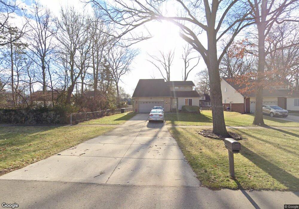
18441 Cornell Rd Southfield, MI 48075
Estimated Value: $292,000 - $334,000
--
Bed
2
Baths
2,039
Sq Ft
$152/Sq Ft
Est. Value
About This Home
This home is located at 18441 Cornell Rd, Southfield, MI 48075 and is currently estimated at $310,595, approximately $152 per square foot. 18441 Cornell Rd is a home located in Oakland County with nearby schools including Agbu Alex-Marie Manoogian School, Dr. Joseph F. Pollack Academic Center Of Excellence, and Pembroke Academy.
Ownership History
Date
Name
Owned For
Owner Type
Purchase Details
Closed on
Oct 12, 2007
Sold by
Fannie Mae
Bought by
Love Angela
Current Estimated Value
Purchase Details
Closed on
Sep 13, 2006
Sold by
Mortgage Electronic Registration Systems
Bought by
Federal National Mortgage Association
Purchase Details
Closed on
Aug 1, 2006
Sold by
Harris Herschel and Harris Venus
Bought by
Mortgage Electronic Registration Systems
Purchase Details
Closed on
Aug 30, 2000
Sold by
Tabachnik Simon
Bought by
Harris Herschel
Purchase Details
Closed on
Oct 27, 1999
Sold by
Baer Theodore W
Bought by
Tabachnik Simon
Create a Home Valuation Report for This Property
The Home Valuation Report is an in-depth analysis detailing your home's value as well as a comparison with similar homes in the area
Home Values in the Area
Average Home Value in this Area
Purchase History
| Date | Buyer | Sale Price | Title Company |
|---|---|---|---|
| Love Angela | $149,000 | None Available | |
| Federal National Mortgage Association | -- | None Available | |
| Mortgage Electronic Registration Systems | $211,891 | None Available | |
| Harris Herschel | $215,000 | -- | |
| Tabachnik Simon | $25,000 | -- |
Source: Public Records
Tax History Compared to Growth
Tax History
| Year | Tax Paid | Tax Assessment Tax Assessment Total Assessment is a certain percentage of the fair market value that is determined by local assessors to be the total taxable value of land and additions on the property. | Land | Improvement |
|---|---|---|---|---|
| 2022 | $2,747 | $117,940 | $16,310 | $101,630 |
| 2021 | $2,805 | $116,630 | $16,520 | $100,110 |
| 2020 | $2,448 | $94,180 | $12,550 | $81,630 |
| 2018 | $2,893 | $52,830 | $8,100 | $44,730 |
| 2015 | -- | $40,900 | $0 | $0 |
| 2014 | -- | $50,960 | $0 | $0 |
| 2011 | -- | $59,160 | $0 | $0 |
Source: Public Records
Map
Nearby Homes
- 18656 Midway Ave
- 18252 Westland Ave
- 17581 Roxbury Ave
- 19100 Dorset St
- 18249 Westover Ave
- 18155 Westhaven Ave
- 19368 Midway Rd
- 20542 Ashton Ave
- 20510 Rosemont Ave
- 0000 W Nine Mile
- 20285 Glastonbury Rd
- 20558 Oakfield St
- 16400 N Park Dr Unit 1218
- 16400 N Park Dr Unit 810
- 16400 N Park Dr Unit 406
- 20534 Grandville Ave
- 20201 Ashton Ave
- 19633 Mahon St
- 20245 Archdale St
- 21450 Evergreen Rd
- 18449 Cornell Rd
- 18426 Dorset St
- 18418 Dorset St
- 18463 Cornell Rd
- 18434 Dorset St
- 18404 Dorset St
- 18456 Dorset St
- 18452 Cornell Rd
- 18444 Cornell Rd
- 18470 Cornell Rd
- 18215 Cornell Rd
- 18415 Dorset St
- 18429 Dorset St
- 21494 Greenview Rd
- 21510 Hollywood St
- 18435 Dorset St
- 18404 Cornell Rd
- 21518 Greenview Rd
- 18459 Dorset St
- 21431 Hollywood St