Estimated Value: $635,450
4
Beds
2
Baths
3,300
Sq Ft
$193/Sq Ft
Est. Value
About This Home
This home is located at 18447 Rock Grove Rd, Davis, IL 61019 and is currently estimated at $635,450, approximately $192 per square foot. 18447 Rock Grove Rd is a home located in Winnebago County with nearby schools including Durand Elementary School, Durand Junior High School, and Durand High School.
Ownership History
Date
Name
Owned For
Owner Type
Purchase Details
Closed on
Mar 13, 2020
Sold by
Honnold Jeffrey A and Honnold Clare T
Bought by
Patterson John W and Moore Heather C
Current Estimated Value
Home Financials for this Owner
Home Financials are based on the most recent Mortgage that was taken out on this home.
Original Mortgage
$295,600
Outstanding Balance
$261,796
Interest Rate
3.5%
Mortgage Type
New Conventional
Estimated Equity
$373,654
Purchase Details
Closed on
Mar 18, 2009
Bought by
Honnold Jeffrey A and Honnold Clare T
Create a Home Valuation Report for This Property
The Home Valuation Report is an in-depth analysis detailing your home's value as well as a comparison with similar homes in the area
Home Values in the Area
Average Home Value in this Area
Purchase History
| Date | Buyer | Sale Price | Title Company |
|---|---|---|---|
| Patterson John W | $366,500 | Williamsmccarthy Llp | |
| Honnold Jeffrey A | $276,000 | -- |
Source: Public Records
Mortgage History
| Date | Status | Borrower | Loan Amount |
|---|---|---|---|
| Open | Patterson John W | $295,600 |
Source: Public Records
Tax History Compared to Growth
Tax History
| Year | Tax Paid | Tax Assessment Tax Assessment Total Assessment is a certain percentage of the fair market value that is determined by local assessors to be the total taxable value of land and additions on the property. | Land | Improvement |
|---|---|---|---|---|
| 2024 | $8,890 | $124,641 | $9,397 | $115,244 |
| 2023 | $8,067 | $107,310 | $8,054 | $99,256 |
| 2022 | $7,273 | $95,197 | $7,176 | $88,021 |
| 2021 | $7,529 | $87,918 | $6,589 | $81,329 |
| 2020 | $5,667 | $65,518 | $6,314 | $59,204 |
| 2019 | $5,628 | $64,352 | $6,559 | $57,793 |
| 2018 | $5,914 | $61,814 | $6,194 | $55,620 |
| 2017 | $5,713 | $60,569 | $5,971 | $54,598 |
| 2016 | $6,067 | $60,480 | $5,882 | $54,598 |
| 2015 | $6,063 | $60,401 | $5,803 | $54,598 |
| 2014 | $5,960 | $60,346 | $5,748 | $54,598 |
Source: Public Records
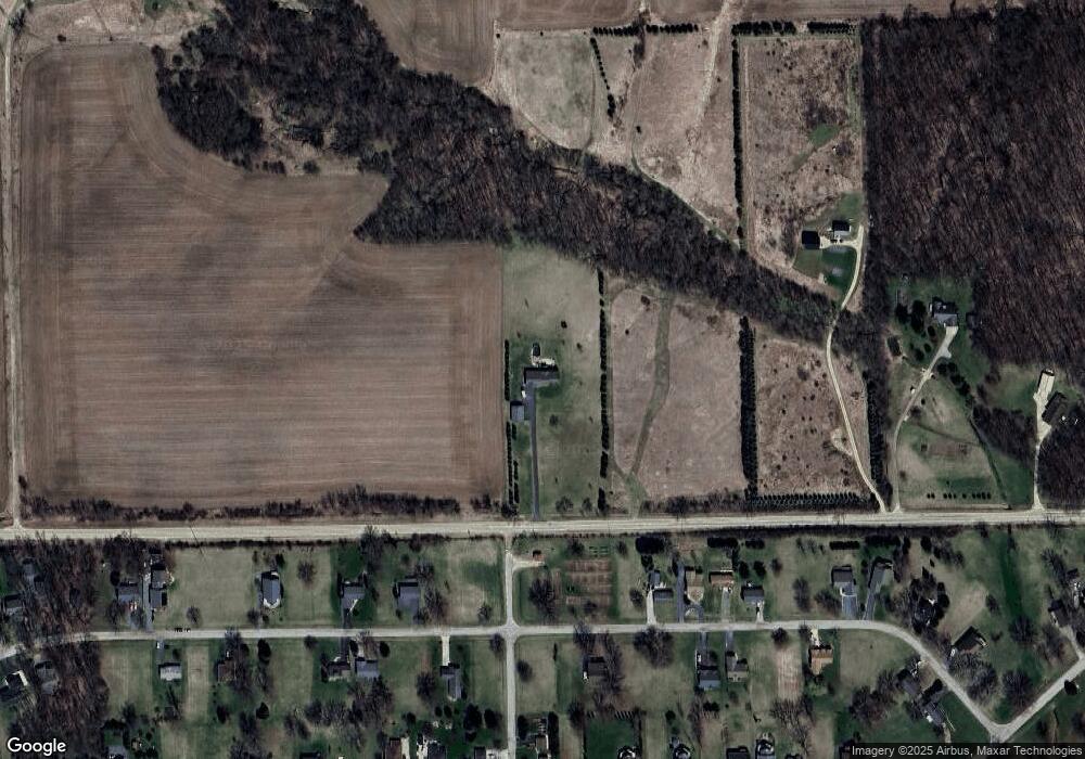
Map
Nearby Homes
- 1049 Drexel Rd
- 2274 Drexel Ave
- 1106 Drexel Rd
- 2357 Butternut Bend
- 1397 Pier Dr
- 885 Breckenboro Rd
- 2350 Butternut Bend
- 884 Breckenboro Ave
- 955 Breckenboro Ave
- 883 Breckenboro Ave
- 2330 Breckenboro Ave
- 870 Breckenboro Rd
- 1005 Autumn Ct
- 976 Winborne Rd
- 1008 Autumn Ct
- 962 Breckenboro Rd
- 1012 Lake Summerset
- 1225 Lake Summerset Rd
- 1637 Larchmont Rd
- 1309 Chadbourne Dr
- 18447 Rock Grove Rd
- 18425 Rock Grove Rd
- 832 Drexel Rd
- 2280 Drexel Ave
- 544 Drexel Rd
- 2279 Drexel Ave
- 519 Drexel Rd
- 2278 Drexel Ave
- 2277 Drexel Ave
- 1109 Drexel Rd
- 2276 Drexel Ave
- 1108 Drexel Rd
- 2285 Drexel Ave
- 2284 Drexel Ave
- 2286 Drexel Ave
- 2275 Drexel Ave
- 2287 Drexel Ave
- 1048 Drexel Rd
- 1107 Drexel Rd
- 1107 Drexel Rd