1845 Flintlock Cir Lansdale, PA 19446
Estimated Value: $566,000 - $608,341
4
Beds
3
Baths
2,211
Sq Ft
$268/Sq Ft
Est. Value
About This Home
This home is located at 1845 Flintlock Cir, Lansdale, PA 19446 and is currently estimated at $593,585, approximately $268 per square foot. 1845 Flintlock Cir is a home located in Montgomery County with nearby schools including Gwynedd Square Elementary School, Penndale Middle School, and North Penn Senior High School.
Ownership History
Date
Name
Owned For
Owner Type
Purchase Details
Closed on
Jun 19, 2006
Sold by
Nugent Robert E and Nugent Kristal S
Bought by
Chletcos Peter E and Chletcos Margot L
Current Estimated Value
Home Financials for this Owner
Home Financials are based on the most recent Mortgage that was taken out on this home.
Original Mortgage
$220,000
Outstanding Balance
$129,559
Interest Rate
6.6%
Estimated Equity
$464,026
Purchase Details
Closed on
Feb 14, 2003
Sold by
Matey David S and Matey Coleen M
Bought by
Nugent Robert E and Nugent Kristal S
Purchase Details
Closed on
Jan 22, 1999
Sold by
Borgmann Peter
Bought by
Matey David S and Matey Coleen M
Create a Home Valuation Report for This Property
The Home Valuation Report is an in-depth analysis detailing your home's value as well as a comparison with similar homes in the area
Home Values in the Area
Average Home Value in this Area
Purchase History
| Date | Buyer | Sale Price | Title Company |
|---|---|---|---|
| Chletcos Peter E | $405,000 | None Available | |
| Nugent Robert E | $286,000 | -- | |
| Nugent Kristal S | $286,000 | -- | |
| Matey David S | $207,000 | -- |
Source: Public Records
Mortgage History
| Date | Status | Borrower | Loan Amount |
|---|---|---|---|
| Open | Chletcos Peter E | $220,000 |
Source: Public Records
Tax History Compared to Growth
Tax History
| Year | Tax Paid | Tax Assessment Tax Assessment Total Assessment is a certain percentage of the fair market value that is determined by local assessors to be the total taxable value of land and additions on the property. | Land | Improvement |
|---|---|---|---|---|
| 2025 | $7,645 | $188,710 | $53,200 | $135,510 |
| 2024 | $7,645 | $188,710 | $53,200 | $135,510 |
| 2023 | $7,321 | $188,710 | $53,200 | $135,510 |
| 2022 | $6,871 | $188,710 | $53,200 | $135,510 |
| 2021 | $6,672 | $188,710 | $53,200 | $135,510 |
| 2020 | $6,369 | $188,710 | $53,200 | $135,510 |
| 2019 | $6,259 | $188,710 | $53,200 | $135,510 |
| 2018 | $1,274 | $188,710 | $53,200 | $135,510 |
| 2017 | $6,010 | $188,710 | $53,200 | $135,510 |
| 2016 | $5,937 | $188,710 | $53,200 | $135,510 |
| 2015 | $5,830 | $188,710 | $53,200 | $135,510 |
| 2014 | $5,689 | $188,710 | $53,200 | $135,510 |
Source: Public Records
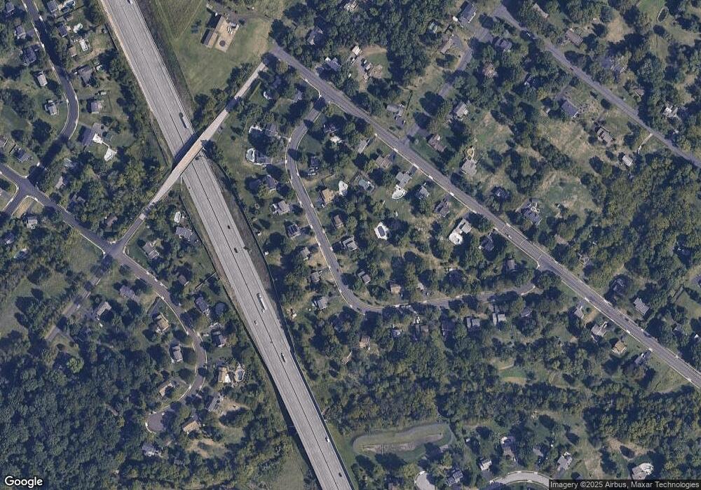
Map
Nearby Homes
- 1653 Bridle Path Dr
- 172 Oberlin Terrace
- 1040 Hunter Hill Dr
- 1808 Beth Ln
- 144 Oberlin Terrace Unit 15-B
- 177 Oberlin Terrace Unit 18-L
- 210 Berwick Place Unit 20E
- 980 Jacks Ln
- 108 Hickory Ct
- 1627 Clearbrook Rd
- 911 Tricorn Dr
- 2272 Locust Dr
- 1959 Supplee Rd
- 2234 Locust Dr
- 1381 Village Way
- 109 Durham Ct
- 103 Newport Ct
- 1622 Samantha Ct
- 111 Newport Ct
- 846 Fulton Ave
- 1855 Flintlock Cir
- 1835 Flintlock Cir
- 1825 Flintlock Cir
- 1865 Flintlock Cir
- 1860 Flintlock Cir
- 1866 Flintlock Cir
- 1848 Flintlock Cir
- 1310 Anders Rd
- 1320 Anders Rd
- 1280 Anders Rd
- 1815 Flintlock Cir
- 1842 Flintlock Cir
- 1872 Flintlock Cir
- 1270 Anders Rd
- 1875 Flintlock Cir
- 1340 Anders Rd
- 1805 Flintlock Cir
- 1836 Flintlock Cir
- 1880 Flintlock Cir
- 1830 Flintlock Cir