1845 High Pointe Dr Bountiful, UT 84010
Estimated Value: $540,000 - $678,000
5
Beds
3
Baths
3,204
Sq Ft
$185/Sq Ft
Est. Value
About This Home
This home is located at 1845 High Pointe Dr, Bountiful, UT 84010 and is currently estimated at $592,522, approximately $184 per square foot. 1845 High Pointe Dr is a home located in Davis County with nearby schools including Valley View School, Mueller Park Junior High School, and Bountiful High School.
Ownership History
Date
Name
Owned For
Owner Type
Purchase Details
Closed on
Apr 23, 2020
Sold by
Watson Steven M
Bought by
Watson Steven M and The Steven M Watson Family Trust
Current Estimated Value
Purchase Details
Closed on
Jul 16, 2018
Sold by
South Brett R
Bought by
Watson Steven M
Home Financials for this Owner
Home Financials are based on the most recent Mortgage that was taken out on this home.
Original Mortgage
$332,000
Outstanding Balance
$287,124
Interest Rate
4.5%
Mortgage Type
New Conventional
Estimated Equity
$305,398
Purchase Details
Closed on
Aug 22, 2017
Sold by
Watson Steven M
Bought by
South Brett R
Home Financials for this Owner
Home Financials are based on the most recent Mortgage that was taken out on this home.
Original Mortgage
$316,000
Interest Rate
3.92%
Mortgage Type
New Conventional
Create a Home Valuation Report for This Property
The Home Valuation Report is an in-depth analysis detailing your home's value as well as a comparison with similar homes in the area
Purchase History
| Date | Buyer | Sale Price | Title Company |
|---|---|---|---|
| Watson Steven M | -- | None Available | |
| Watson Steven M | -- | None Available | |
| South Brett R | -- | -- |
Source: Public Records
Mortgage History
| Date | Status | Borrower | Loan Amount |
|---|---|---|---|
| Open | Watson Steven M | $332,000 | |
| Previous Owner | South Brett R | $316,000 |
Source: Public Records
Tax History
| Year | Tax Paid | Tax Assessment Tax Assessment Total Assessment is a certain percentage of the fair market value that is determined by local assessors to be the total taxable value of land and additions on the property. | Land | Improvement |
|---|---|---|---|---|
| 2025 | -- | $278,300 | $106,150 | $172,150 |
| 2024 | -- | $272,800 | $88,550 | $184,250 |
| 2023 | -- | $275,550 | $89,650 | $185,900 |
| 2022 | $251 | $491,000 | $168,000 | $323,000 |
| 2021 | $251 | $381,000 | $155,000 | $226,000 |
| 2020 | $332 | $348,000 | $125,000 | $223,000 |
| 2019 | $251 | $329,000 | $125,000 | $204,000 |
| 2018 | $1,279 | $358,000 | $139,120 | $218,880 |
| 2016 | $60 | $156,860 | $37,400 | $119,460 |
| 2015 | $1,897 | $146,135 | $37,400 | $108,735 |
| 2014 | $1,745 | $137,506 | $18,333 | $119,173 |
| 2013 | $2,316 | $169,920 | $24,475 | $145,445 |
Source: Public Records
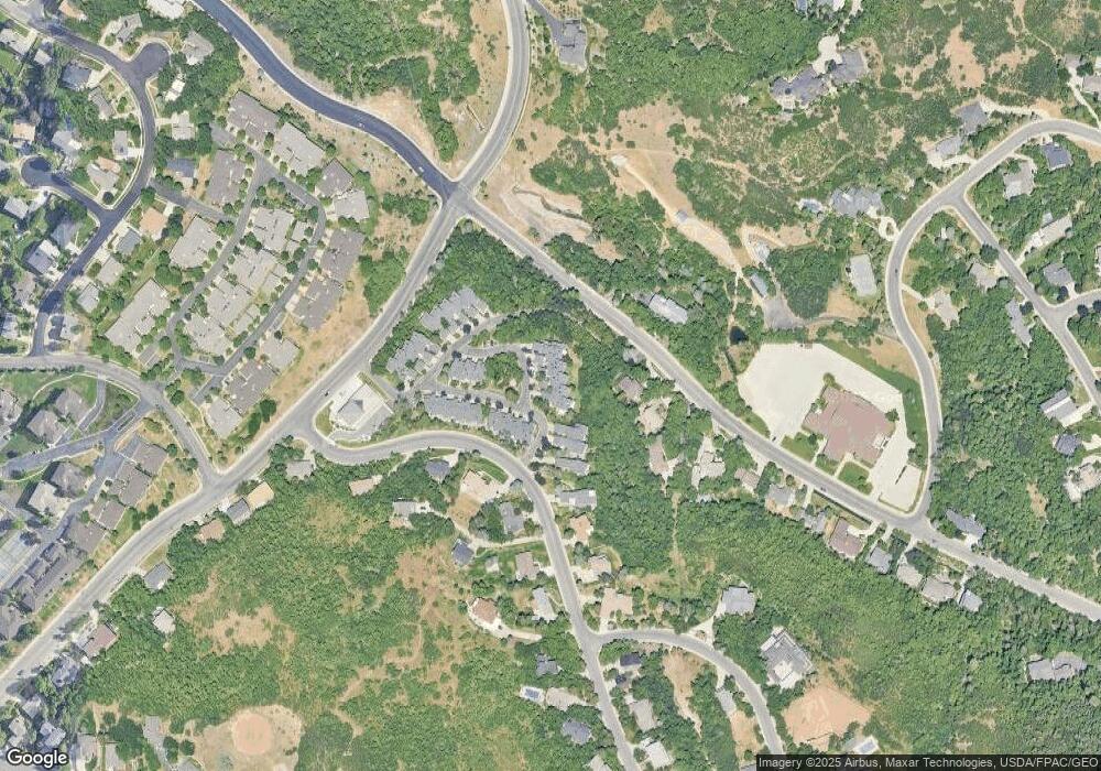
Map
Nearby Homes
- 1820 S High Pointe Dr
- 1987 Mapleview Dr
- 1878 E Ridge Point Dr
- 1735 S Temple Ct Unit 203
- 1475 Mueller Park Rd
- 1596 E Millbrook Way
- 1785 1450 E Unit 604
- 1676 E Mueller Park Rd
- 2091 Windsor Park Cir
- 0 Bountiful Blvd
- 1087 Arlington Way
- 2136 Elaine Dr
- 842 E 2150 S
- 0 Lot Bountiful Blvd
- 795 Abby Ln Unit 5
- 626 E 2150 S
- 861 E Millbrook Way
- 631 E 1700 S
- 3252 Sunset Hollow Dr
- 87 S Bountiful Blvd E Unit 12
- 1845 High Pointe Dr
- 1855 High Pointe Dr
- 1835 High Pointe Dr
- 1835 High Pointe Dr Unit 14
- 1855 High Pointe Dr Unit 16
- 1855 High Pointe Dr
- 1825 High Pointe Dr
- 1815 High Pointe Dr
- 1947 High Pointe Dr Unit 27
- 1947 High Pointe Dr
- 1990 High Pointe Dr
- 1990 High Pointe Dr
- 1980 High Pointe Dr
- 1980 High Pointe Dr
- 1959 High Pointe Dr
- 1970 High Pointe Dr
- 1960 High Pointe Dr Unit 22
- 1960 High Pointe Dr
- 1960 Cave Hollow Way
- 1676 Mueller Park Rd
Your Personal Tour Guide
Ask me questions while you tour the home.