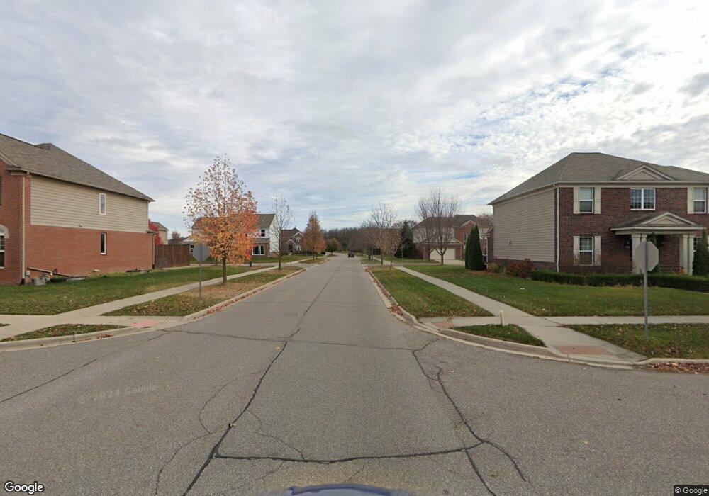
1845 Lansdowne Rd Ann Arbor, MI 48105
Estimated Value: $942,214 - $1,007,000
3
Beds
4
Baths
1,968
Sq Ft
$500/Sq Ft
Est. Value
About This Home
This home is located at 1845 Lansdowne Rd, Ann Arbor, MI 48105 and is currently estimated at $984,054, approximately $500 per square foot. 1845 Lansdowne Rd is a home located in Washtenaw County with nearby schools including Wines Elementary School, Forsythe Middle School, and Skyline High School.
Ownership History
Date
Name
Owned For
Owner Type
Purchase Details
Closed on
Dec 17, 2021
Sold by
Gordon Mullins Amie M and Mullins Ryan
Bought by
Mullins Amie Gordon and Mullins Ryan
Current Estimated Value
Purchase Details
Closed on
Jul 17, 2020
Sold by
Perkins Noel C and Perkins Karin B
Bought by
Gordon Mullins Annie M and Mullins Ryan
Home Financials for this Owner
Home Financials are based on the most recent Mortgage that was taken out on this home.
Original Mortgage
$510,400
Outstanding Balance
$452,589
Interest Rate
3.1%
Mortgage Type
New Conventional
Estimated Equity
$531,465
Create a Home Valuation Report for This Property
The Home Valuation Report is an in-depth analysis detailing your home's value as well as a comparison with similar homes in the area
Home Values in the Area
Average Home Value in this Area
Purchase History
| Date | Buyer | Sale Price | Title Company |
|---|---|---|---|
| Mullins Amie Gordon | -- | None Available | |
| Gordon Mullins Annie M | $729,000 | Preferred Ttl Agcy Of Ann Ab |
Source: Public Records
Mortgage History
| Date | Status | Borrower | Loan Amount |
|---|---|---|---|
| Open | Gordon Mullins Annie M | $510,400 |
Source: Public Records
Tax History Compared to Growth
Tax History
| Year | Tax Paid | Tax Assessment Tax Assessment Total Assessment is a certain percentage of the fair market value that is determined by local assessors to be the total taxable value of land and additions on the property. | Land | Improvement |
|---|---|---|---|---|
| 2025 | $9,189 | $364,100 | $0 | $0 |
| 2024 | $9,455 | $372,300 | $0 | $0 |
| 2023 | $9,524 | $378,600 | $0 | $0 |
| 2022 | $13,410 | $354,000 | $0 | $0 |
| 2021 | $13,232 | $346,400 | $0 | $0 |
| 2020 | $7,652 | $326,440 | $0 | $0 |
| 2019 | $7,202 | $329,060 | $329,060 | $0 |
| 2018 | $7,119 | $311,750 | $135,000 | $176,750 |
| 2017 | $6,872 | $304,630 | $0 | $0 |
| 2016 | $4,553 | $179,388 | $0 | $0 |
| 2015 | -- | $178,852 | $0 | $0 |
| 2014 | -- | $173,264 | $0 | $0 |
| 2013 | -- | $173,264 | $0 | $0 |
Source: Public Records
Map
Nearby Homes
- 2277 W Huron River Dr
- 2844 Whippoorwill Ln
- 2086 Autumn Hill Dr Unit 82
- 341 Corrie Rd
- 3680 Miller Rd
- 2136 Newport Rd
- 2108 Newport Rd Unit Parcel 2108
- 2108 Newport Rd
- 2134 Overlook Ct
- 2374 Newport Rd
- 2174 Overlook Ct Unit 326
- 2865 Walters Way Unit 1
- 102 Samara Lane Ct
- 3470 Maple Ridge Dr
- 3440 Maple Ridge Dr
- Morenci Plan at Barton Ridge
- Brant Plan at Barton Ridge
- Haslett Plan at Barton Ridge
- Alma Plan at Barton Ridge
- Decker Plan at Barton Ridge
- 1845 Landsdowne Rd
- 1775 Westridge Rd
- 1777 Lansdowne Rd
- 3515 N Maple Rd
- 1771 Westridge Rd
- 3469 Riverbend Dr
- 3521 N Maple Rd
- 1725 Landsdowne Rd
- 1800 Lansdowne Rd
- 1742 Westridge Rd
- 1725 Lansdowne Rd
- 1761 Westridge Rd
- 3395 N Maple Rd
- 3466 Riverbend Dr
- 3373 N Maple Rd
- 3455 Riverbend Dr
- 1790 Country Club Rd
- 1751 Westridge Rd
- 1745 Westridge Rd
- 3616 N Maple Rd
