1845 Lewis Powell St Morganton, NC 28655
Estimated Value: $282,503 - $314,000
3
Beds
2
Baths
1,478
Sq Ft
$203/Sq Ft
Est. Value
About This Home
This home is located at 1845 Lewis Powell St, Morganton, NC 28655 and is currently estimated at $300,126, approximately $203 per square foot. 1845 Lewis Powell St is a home located in Burke County with nearby schools including Oak Hill Elementary School, Table Rock Middle School, and Freedom High School.
Ownership History
Date
Name
Owned For
Owner Type
Purchase Details
Closed on
Mar 18, 2019
Sold by
Burnette Michael S and Burnette Kathy P
Bought by
Holsclaw Miller Daniel Scott and Holsclaw Miller Ashley
Current Estimated Value
Home Financials for this Owner
Home Financials are based on the most recent Mortgage that was taken out on this home.
Original Mortgage
$162,000
Outstanding Balance
$143,749
Interest Rate
4.87%
Mortgage Type
Adjustable Rate Mortgage/ARM
Estimated Equity
$156,377
Create a Home Valuation Report for This Property
The Home Valuation Report is an in-depth analysis detailing your home's value as well as a comparison with similar homes in the area
Home Values in the Area
Average Home Value in this Area
Purchase History
| Date | Buyer | Sale Price | Title Company |
|---|---|---|---|
| Holsclaw Miller Daniel Scott | $160,000 | None Available |
Source: Public Records
Mortgage History
| Date | Status | Borrower | Loan Amount |
|---|---|---|---|
| Open | Holsclaw Miller Daniel Scott | $162,000 |
Source: Public Records
Tax History Compared to Growth
Tax History
| Year | Tax Paid | Tax Assessment Tax Assessment Total Assessment is a certain percentage of the fair market value that is determined by local assessors to be the total taxable value of land and additions on the property. | Land | Improvement |
|---|---|---|---|---|
| 2025 | $1,284 | $187,667 | $18,882 | $168,785 |
| 2024 | $1,289 | $187,667 | $18,882 | $168,785 |
| 2023 | $1,289 | $187,667 | $18,882 | $168,785 |
| 2022 | $1,301 | $155,343 | $18,882 | $136,461 |
| 2021 | $1,295 | $155,343 | $18,882 | $136,461 |
| 2020 | $1,291 | $155,343 | $18,882 | $136,461 |
| 2019 | $1,177 | $140,803 | $18,882 | $121,921 |
| 2018 | $1,154 | $137,807 | $18,882 | $118,925 |
| 2017 | $1,152 | $137,807 | $18,882 | $118,925 |
| 2016 | $1,142 | $137,807 | $18,882 | $118,925 |
| 2015 | $1,141 | $137,807 | $18,882 | $118,925 |
| 2014 | $1,142 | $137,807 | $18,882 | $118,925 |
| 2013 | $1,130 | $137,807 | $18,882 | $118,925 |
Source: Public Records
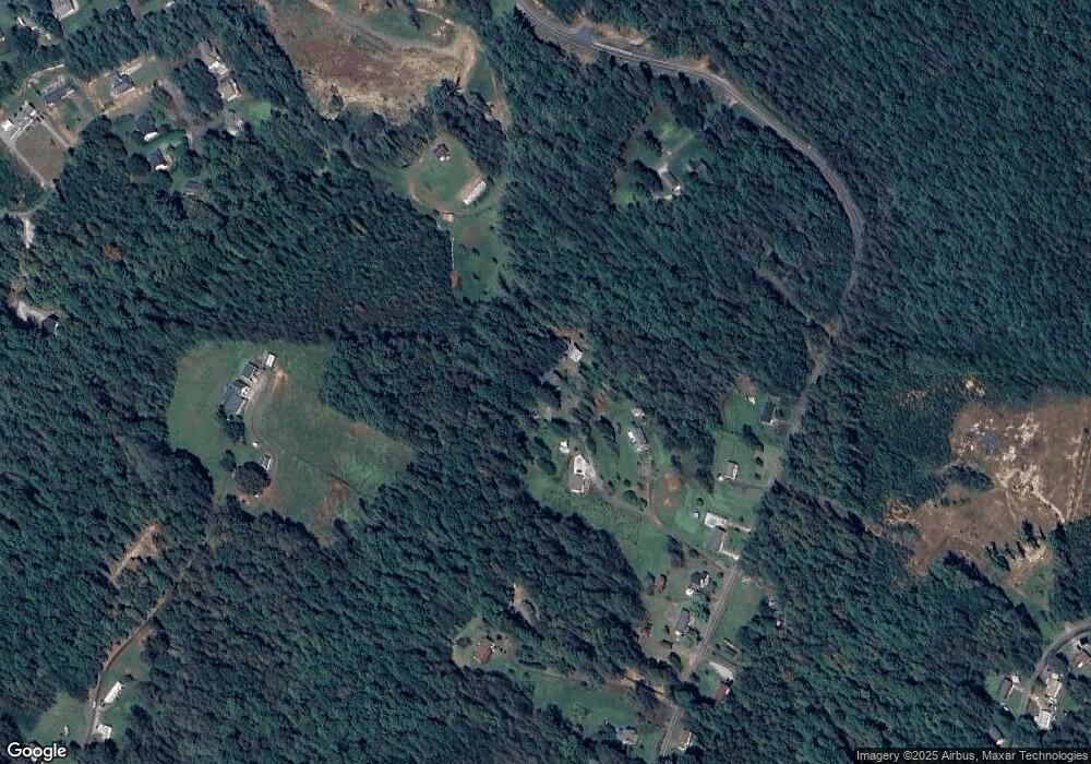
Map
Nearby Homes
- 1926 Timber Trace Unit 4
- 3076 Hunters Ridge Ct
- 3620 Lake Dr
- 3163 Lake Dr Unit 53 & 52
- 3164 Lake Dr Unit Lot 3
- 3577 Lake Dr Unit 26
- 3188 Lake Dr Unit 4
- 3639 Lake Dr Unit 25
- 3486 Lake Dr Unit 16
- 3494 Lake Dr Unit 17
- 2616 Carl Freeman Ave Unit 20
- 2616 Carl Freeman Ave Unit 3
- 2576 Henderson Mill Rd
- 2423 Warrior Fork Trail
- 2257 E Wade Ave
- 2765 Hollybrook Ln
- 3026 Coventry Dr
- 1364 Oak Hill Dr
- 0 Oak Forest Dr
- 2401 Nc 181
- 1758 Lewis Powell St
- 1769 Lewis Powell St
- 1959 Goodman Lake Rd
- 1747 Goodman Lake Rd
- 1939 Goodman Lake Rd
- 1909 Goodman Lake Rd
- 1731 Goodman Lake Rd
- 1693 Goodman Lake Rd
- 1713 Goodman Lake Rd
- 1687 Goodman Lake Rd
- 999 Cam Dr
- 1792 Tellis Ln
- 1788 Tellis Ln
- 1714 Goodman Lake Rd
- 1704 Goodman Lake Rd
- 1683 Goodman Lake Rd
- 1895 Camm Dr
- 1856 Timber Trace
- 1983 Goodman Lake Rd
- 1849 Timber Trace